Every place on one map
Koh Samui map, by tambon
A map of Koh Samui with every beach, waterfall, temple and trail. Filter by category or tambon, search by name, and see what sits near each place before you go.
136 places in 7 tambons
Category
Tambon
Loading the map
Places in view
136 places in view
Viewpoints in Bo Phut
The Roof Samui: Reviews, 4x4 Shuttle and Hilltop Views
Viewpoints in Maenam
Maenam Viewpoint: Free Beach Gazebo and the Nathon Ridge Trek
Viewpoints in Ang Thong
The Old Lighthouse, Laem Yai: Koh Samui's Unmapped Viewpoint
Viewpoints in Bo Phut
Jungle Route 360: Koh Samui's Second-Highest Viewpoint
Viewpoints in Maenam
Laem Yai Viewpoint: Koh Samui's Free West-Coast Sunset Hill
Viewpoints in Bo Phut
Jungle Bar Koh Samui: The Jungle Club, Open 08:00-23:00
Viewpoints in Na Mueang
Giant Summit Samui: Sunset Views, Menu and Hours
Viewpoints in Taling Ngam
Hillcrest Drive Viewpoint: Koh Samui's Wild Southwest Sunset Climb
Viewpoints in Maenam
Apirom Viewpoint: Koh Samui's Closed Hillside Lookout Above Ban Tai
Viewpoints in Bo Phut
The Cocoon Samui Viewpoint: Menu, Hours, Prices & Access
Trails in Na Mueang
Wang Sao Thong Trail: Koh Samui's Easiest Waterfall Walk
Trails in Maenam
Tan Rua Trail: Secret Falls Hike Through Maenam's Jungle Hills
Trails in Na Mueang
Secret Buddha Garden Hike: Jungle Trail, Road Access and Fee
Trails in Na Mueang
Sleeping Buddha Trail: Koh Samui's Hidden Jungle Trek
Trails in Maret
Overlap Stone Samui Viewpoint: How to Get There and How Hard
Trails in Na Mueang
Samui 360 Viewpoint Trail: Hike to the Island's Best View
Trails in Ang Thong
Nathon Mountain Ridge Trail: 8 or 13.5 km Hike, Route Guide
Trails in Maenam
Magic Garden Samui Hike: 10 km Ridge Trek From Maenam
Trails in Na Mueang
Monkey Trail Koh Samui: Jungle Network & Samui Trail Race
Trails in Bo Phut
Lad Koh Viewpoint: Free Entry, Sunrise Views, 20-40 Min Walk
Trails in Lipa Noi
Khao Phra Trail: Koh Samui's Wild Bamboo Jungle Hike
Trails in Maenam
Hog Trail: A Short, Steep Forest Hike on Koh Samui
Trails in Na Mueang
Khao Nui Loop: Koh Samui's Hidden Bird Watching Trail
Trails in Bo Phut
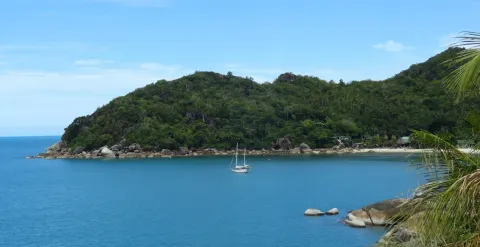
Coral Cove to Silver Beach: Koh Samui's Boulder-Hopping Coastal Walk
Trails in Bo Phut
Grand Viewpoint Traverse: Koh Samui's Ultimate Highland Hike
Beaches in Maenam
W Koh Samui Beach (W Beach): Public Access, Tides, Swimming
Beaches in Bo Phut
Tong Sai Bay Koh Samui: Private Cove, Resort and Public Access
Beaches in Lipa Noi
Tong Yang Beach: Koh Samui's Quiet Reef and Sunset Bay
Beaches in Bo Phut
Thongson Bay Beach: Quiet Snorkeling Cove, Parking, Resorts
Beaches in Maenam
Thong Plu Beach: Koh Samui's Quiet Northwest Corner
Beaches in Taling Ngam
Thong Tanote Beach: Koh Samui's Last Untouched Fishing Village
Beaches in Bo Phut
Samrong Beach Koh Samui: Tiny Cove Beside Six Senses Samui
Beaches in Taling Ngam
Thong Krut Beach, Koh Samui: Pier for Pig Island Boats and Seafood
Beaches in Bo Phut
Plai Laem Beach, Koh Samui: Shallow Sunset Shore Beside Big Buddha
Beaches in Ang Thong
Nathon Beach, Koh Samui: Ferry Port, Old Town and Sunsets
Beaches in Taling Ngam
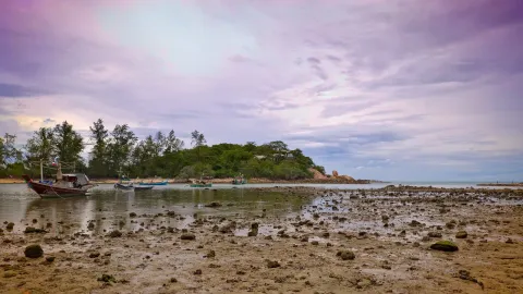
Phang Ka Beach Koh Samui: Low-Tide Flat, Sunsets and Coral Islands
Beaches in Maenam
Na Phra Lan Beach: Koh Samui's Quietest Local Shoreline
Beaches in Maret
Natien Beach (Na Thian), Koh Samui: Wild 500 m Cove, No Crowds
Beaches in Ang Thong
Laem Yai Beach: Quiet Cove, Public Access and Ang Thong Sunsets
Beaches in Maret
Nahai Beach Koh Samui (Na Khai): Kite Spot, Tides, Village
Beaches in Na Mueang
Laem Set Beach: Boulder Coves, Tides and Kamalaya's Monk Cave
Beaches in Taling Ngam
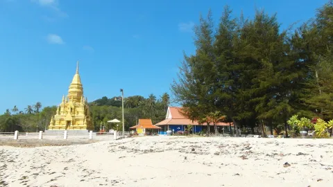
Laem Sor Beach Koh Samui: Small Cove Beside the Golden Pagoda
Beaches in Maret
Hua Thanon: Samui's Muslim Fishing Village, Market and Mosque
Beaches in Maret
Laem Nan Beach Koh Samui: Resort Cape With a Shallow 500 m Shoal
Beaches in Maenam
Bang Po Beach, Koh Samui: Calm Sand, Tides, Seafood, Sunsets
Beaches in Bo Phut
Coral Cove Samui: Snorkeling, Access and What to Expect
Beaches in Na Mueang
Bang Kao Beach: Shallow Water, Saturday Market & Koh Tan Boats
Beaches in Ang Thong
Bang Makham Beach, Koh Samui: Tide Flats and Ang Thong Views
Beaches in Maenam
Ban Tai Beach, Koh Samui: Quiet Maenam Coast Snorkeling
Waterfalls in Ang Thong
Zong Raue Waterfall: The Fruit Plantation Hidden Gem
Waterfalls in Lipa Noi
Tartan Waterfall Koh Samui (Tartain): Hike, Fee, Directions
Waterfalls in Na Mueang
Wang Sao Thong Waterfall: Short Jungle Hike, Fees, Best Months
Waterfalls in Maret
Sivatara Waterfall: Lamai's Scenic Adventure Hub
Waterfalls in Maenam
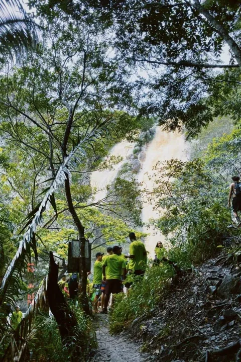
Tan Rua Waterfall (Secret Falls): Free, 250 m Walk, Maenam
Waterfalls in Lipa Noi
Lat Wanon Waterfall: Free 30-Minute Jungle Hike in Lipa Noi
Trails in Na Mueang
Na Muang Waterfalls Trail: Jungle Hike to Purple Cascades
Temples in Bo Phut
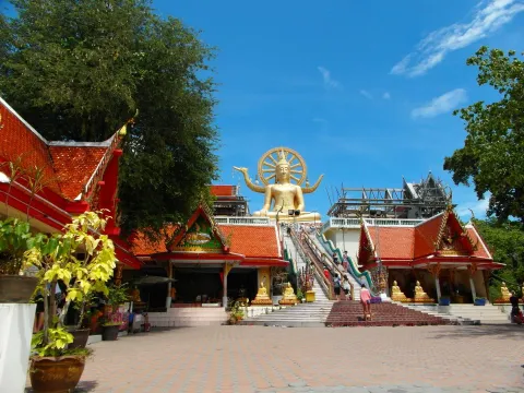
Wat Phra Yai Koh Samui (Big Buddha): Hours, Free Entry, Tips
Trails in Ang Thong
Hin Lad Waterfall Hike: 2.6 km Jungle Trail From a Temple
Temples in Bo Phut
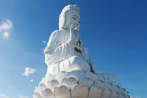
Wat Plai Laem, Koh Samui: Hours, Free Entry & 18-Arm Guanyin
Trails in Na Mueang
Khao Pom Koh Samui: 635 m Summit Trek, 8 km, Guide Required
Waterfalls in Bo Phut
Khun Si Waterfall: Free Entry, 500 m Hike and Hidden Cave
Temples in Na Mueang
Wat Pradoem: The First Temple Ever Built on Koh Samui
Waterfalls in Na Mueang
Khao Yai Waterfall Koh Samui: Free Entry, Hike and Pools
Temples in Na Mueang
Wat Teepangkorn, Koh Samui: 635 m Summit and Standing Buddha
Temples in Bo Phut
Wat Sawang Arom: The Historic Heart of Chaweng
Temples in Maret
Wat Sila Ngu: The Red Temple of Koh Samui, Free Entry
Temples in Maenam
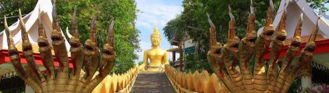
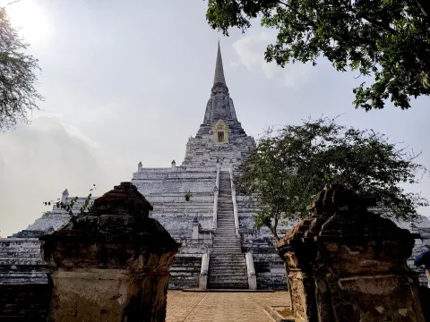
Wat Phu Khao Thong Koh Samui: Free Entry, Naga Stairs, Views
Temples in Maret
Wat Samret Koh Samui: Marble Buddha Temple, Free Entry
Temples in Maenam
Wat Na Phra Lan: Free Maenam Temple Near Lomprayah Pier
Temples in Lipa Noi
Wat Nara Charoen Suk: The Serene Guardian of Lipa Noi
Temples in Taling Ngam
Wat Laem Sor: The Sacred Maritime Soul of the South
Temples in Maret
Wat Lamai: Folklore Museum, Bronze Drum and Free Entry
Temples in Na Mueang
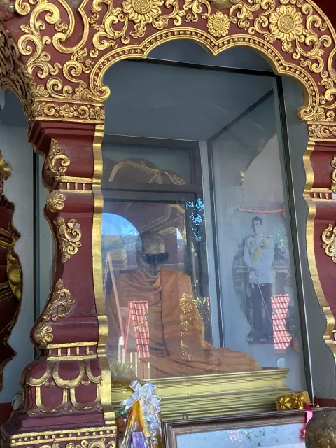
Wat Khunaram: Mummified Monk of Koh Samui, Hours and Tips
Temples in Taling Ngam
Wat Kiri Wongkaram: Mummified Monk, Hours, Getting There
Temples in Taling Ngam
Wat Khao Chedi: Free Hilltop Temple With 360 Degree Views
Temples in Taling Ngam
Wat Khiri Mat: The Golden Mountain of the West
Waterfalls in Na Mueang
Tarnim Magic Garden: Fee, Road and What to See on Pom Mountain
Temples in Ang Thong
Wat Namtok Hin Lad: The Forest Sanctuary of Nathon
Temples in Bo Phut
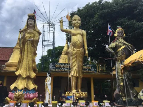
Wat Bo Phuttharam: The Giant Monk on a Ship in Bophut
Temples in Ang Thong
Wat Chaeng Nathon: Free Samui Temple with Giant Yak Guardians
Temples in Bo Phut
Samui International Meditation Center: Hours, Cost, Retreats
Temples in Na Mueang
Secret Buddha Garden Koh Samui: Fee, Hours & How to Get There
Temples in Taling Ngam
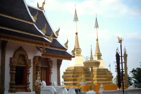
Laem Sor Pagoda: Free Golden Chedi on Samui's South Coast
Temples in Ang Thong
Nathon Hainan Shrine: The Heart of Old Samui
Temples in Na Mueang
Monk Cave Koh Samui: Visiting Kamalaya's Arjan Cave
Temples in Bo Phut
Pagoda Khao Hua Jook: Fee, Hours and Views Over Chaweng
Beaches in Bo Phut
Bophut Koh Samui: Beach, Fisherman's Village and Where to Stay
Temples in Maret
Guan Yu Koh Samui: 16 m Bronze Statue, Hours and Free Entry
Temples in Maret
Dipabhavan Meditation Center: Free Silent Retreats on Samui
Temples in Bo Phut
Guam Im Shrine: The Ocean-Facing Sanctuary of Choeng Mon
Waterfalls in Ang Thong
Hin Lad Waterfall: 30 m Falls, Temple Trail, Free Entry
Temples in Maenam
Maenam Chinese Temple: Free Chao Eng Sae Shrine, Thursday Market
Temples in Maret
Buddha Footprint Koh Samui: 150 Steps to a Free Hilltop Shrine
Trails in Lipa Noi
Tartain Waterfall Trek: Samui's Ultimate Jungle Challenge
Trails in Bo Phut
Khun Si Waterfall Trail: The Bophut Mountain Sanctuary
Trails in Lipa Noi
Lardwanorn Waterfall Loop: Samui's Hidden West Coast Secret
Beaches in Maret
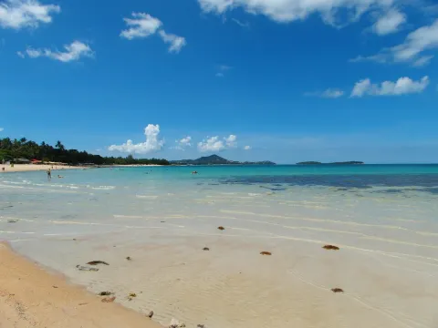
Lamai Beach: Grandfather Rocks, Muay Thai and Sunday Market
Beaches in Taling Ngam
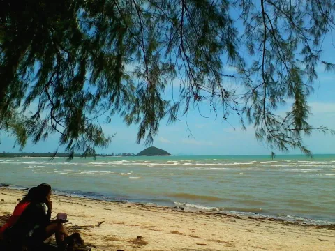
Taling Ngam Beach: Sunset Views, Swimming and Low-Tide Reality
Beaches in Maenam
Maenam Beach, Koh Samui: Calm Swimming, Thursday Market, Stays
Beaches in Maret
Silver Beach Samui (Crystal Bay): Snorkeling, Access, Hotels
Beaches in Bo Phut
Choeng Mon Beach, Koh Samui: Calm, Shallow Water for Families
Beaches in Lipa Noi
Lipa Noi Beach: Shallow Water and West-Coast Sunsets
Beaches in Bo Phut
Chaweng Noi Beach: Calm Swimming, Resorts & How to Get There
Waterfalls in Na Mueang
Namuang Waterfall Koh Samui: Na Muang 1 and 2, Hours, Hike
Beaches in Bo Phut
Bang Rak Beach (Big Buddha Beach): Pier, Temple, Things to Do
Beaches in Bo Phut
Koh Samui Chaweng Beach: Sections, Swimming and Best Time (2026)
Hotels in Bo Phut
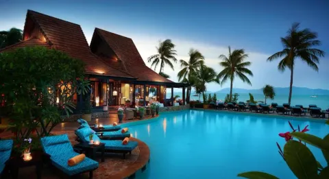
Bandara Spa Resort & Pool Villas
Hotels in Bo Phut
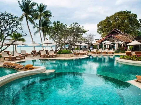
Bo Phut Resort & Spa
Hotels in Bo Phut
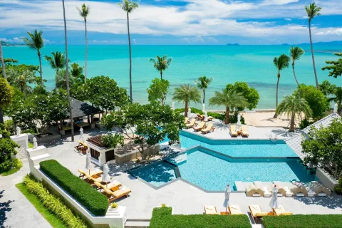
Chaweng Regent Beach Resort
Hotels in Maenam
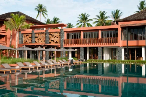
Fair House Villas & Spa
Hotels in Bo Phut
Hansar Samui Resort & Spa
Hotels in Bo Phut
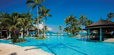
Melati Beach Resort & Spa
Hotels in Bo Phut
Nora Buri Resort & Spa
Hotels in Bo Phut
OZO Chaweng Samui
Hotels in Bo Phut
SALA Samui Chaweng Beach Resort
Hotels in Bo Phut
Sheraton Samui Resort
Hotels in Bo Phut
Vana Belle, a Luxury Collection Resort
Hotels in Bo Phut
Amari Koh Samui
Hotels in Na Mueang
Kamalaya Koh Samui
Hotels in Bo Phut
Melia Koh Samui
Hotels in Maret
Outrigger Koh Samui Beach Resort
Hotels in Maret
Rocky's Boutique Resort
Hotels in Maenam
Santiburi Koh Samui
Hotels in Maret
Silavadee Pool Spa Resort
Hotels in Bo Phut
Six Senses Samui
Hotels in Maenam
W Koh Samui
Hotels in Bo Phut
Kimpton Kitalay Samui
Hotels in Bo Phut
The Ritz-Carlton
Hotels in Maenam
Four Seasons Resort Koh Samui
Hotels in Bo Phut
Hyatt Regency Koh Samui
Hotels in Taling Ngam
Conrad Koh Samui
Hotels in Maret
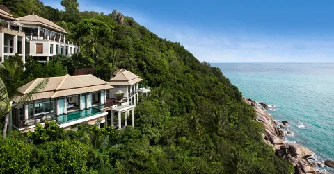
Banyan Tree Samui
Hotels in Bo Phut
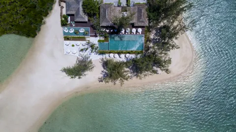
Cape Fahn
Hotels in Bo Phut
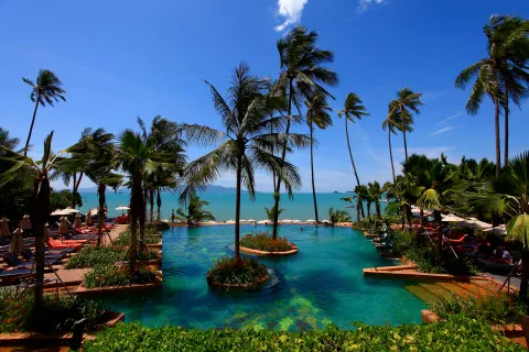
Anantara Bophut Koh Samui Resort
Hotels in Bo Phut
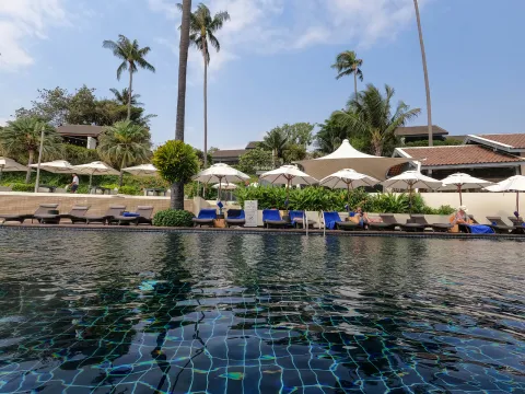
Anantara Lawana Koh Samui Resort
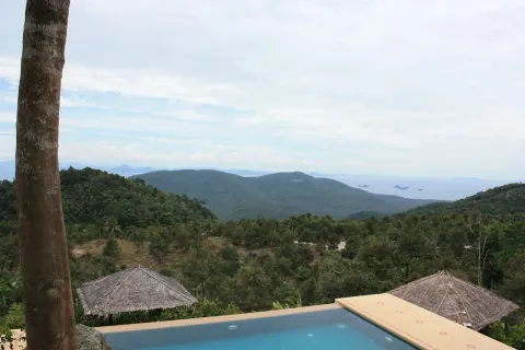
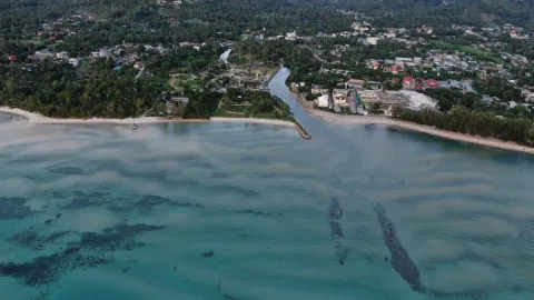
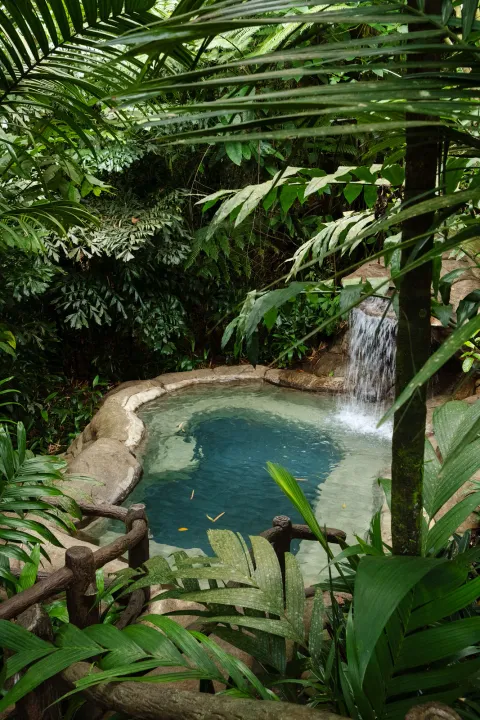
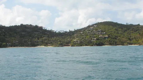
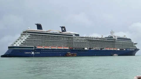
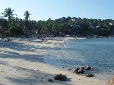
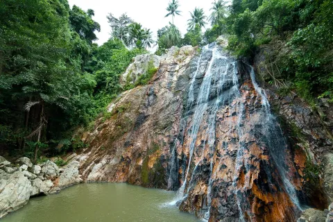
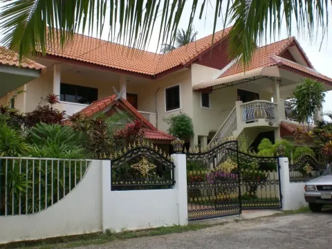
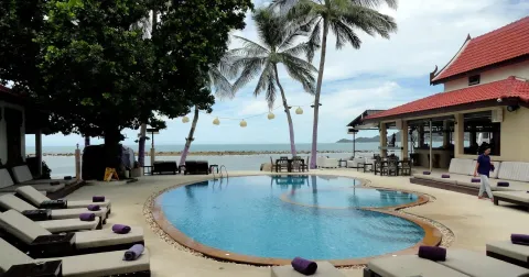
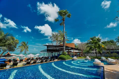
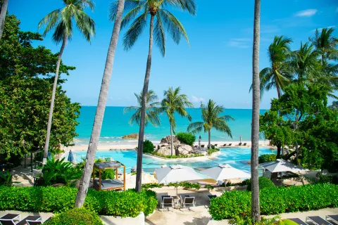
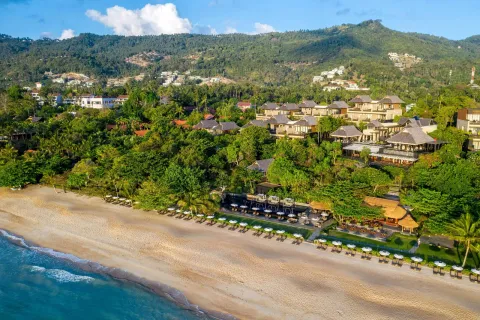
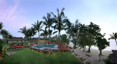
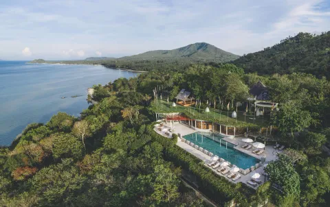
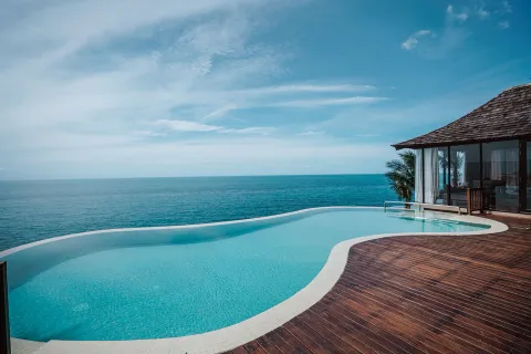
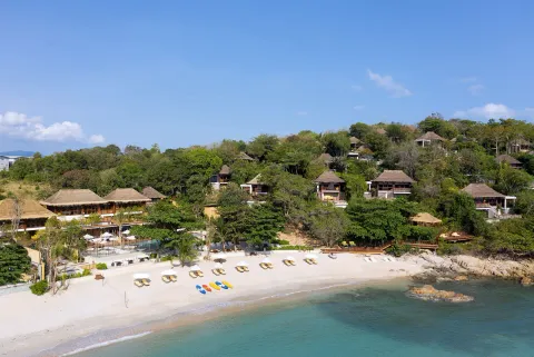
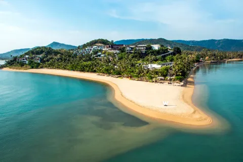
Map data from OpenStreetMap contributors, base tiles by Protomaps, terrain from Mapterhorn, and tambon boundaries from OCHA's Common Operational Datasets. Found a wrong pin? Tell us
At a glance
Koh Samui at a glance
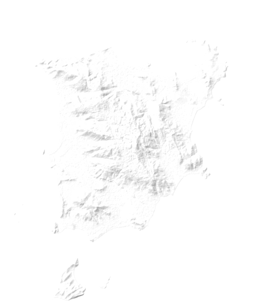
Koh Samui is Thailand's second-largest island after Phuket, about 35 km north-east of Surat Thani town. The official area is 228.7 km². Our OpenStreetMap coastline measures 237 km², about 4% more, because the two figures come from different methods. The Route 4169 ring road runs about 51 km around the coast and links every main beach town.
Hills fill the middle of the island and the roads stay near the sea. Khao Pom is the highest point: our elevation model reads 632 m, the figure usually cited is 635 m. Chaweng and Lamai face east, Bophut and Maenam north, Nathon, Lipa Noi and Taling Ngam west. The airport sits in the north-east, 2 km from Chaweng.
- Land area (OSM coastline)
- 237 km²
- North to south by east to west
- 21 × 20 km
- Highest point (elevation model)
- 632 m
- Tambons
- 7
- Ring road, Route 4169
- about 51 km
The seven tambons of Koh Samui
Samui is split into seven tambons, the local districts. Each card counts the places we have mapped there and opens the map on that area. Where we wrote an area guide, it is linked underneath.
-
Maenam แม่น้ำ
A long quiet beach, Bang Po, the Golden Mount temple, a Chinese temple, Tan Rua falls, and the Hog Trail through the hills.
6 beaches, 1 waterfall, 3 temples, 3 trails
-
Bo Phut บ่อผุด
Fisherman's Village, the Big Buddha at Bang Rak, Wat Plai Laem, Chaweng's beaches and nightlife, Choeng Mon, and the airport.
10 beaches, 1 waterfall, 7 temples, 4 trails
-
Maret มะเร็ต
Lamai's beach and viewpoints, Hua Thanon fishing village, the red temple Wat Sila Ngu, and Overlap Stone.
6 beaches, 1 waterfall, 6 temples, 2 trails
-
Na Mueang หน้าเมือง
Na Muang's waterfalls, the Secret Buddha Garden, the mummified monk at Wat Khunaram, and Samui 360 viewpoint.
2 beaches, 4 waterfalls, 5 temples, 8 trails
-
Taling Ngam ตลิ่งงาม
A sunset coast facing the Five Islands, Thong Krut's boats to Koh Tan, Phang Ka bay, and the white Wat Khao Chedi.
5 beaches, 5 temples
-
Lipa Noi ลิปะน้อย
A quiet sunset coast: Lipa Noi beach, Tong Yang bay, waterfalls at Hin Lad and Tartain, and Khao Pom, the island's highest point.
2 beaches, 2 waterfalls, 1 temple, 3 trails
-
Ang Thong อ่างทอง
Nathon's port town and sunset strip, Wat Chaeng, the Hainan shrine, and a ridge trek above Hin Lad forest temple.
3 beaches, 2 waterfalls, 3 temples, 2 trails
Distances
Distances between the main hubs
Read across a row to see how far each hub is from the others, measured between our map pins. Airport to Chaweng is about 2 km, Chaweng to Lamai about 7, Nathon to Chaweng about 14. Use it to judge how long your daily trips from a base will be.
| From / to | Samui Airport (USM) | Chaweng | Bophut | Maenam | Nathon | Lipa Noi | Lamai |
|---|---|---|---|---|---|---|---|
| Samui Airport (USM) | 2.3 km | 4 km | 7.3 km | 14 km | 16 km | 9 km | |
| Chaweng | 2.3 km | 5.2 km | 8.3 km | 14 km | 15 km | 6.7 km | |
| Bophut | 4 km | 5.2 km | 3.3 km | 11 km | 13 km | 11 km | |
| Maenam | 7.3 km | 8.3 km | 3.3 km | 8.1 km | 11 km | 13 km | |
| Nathon | 14 km | 14 km | 11 km | 8.1 km | 4.6 km | 15 km | |
| Lipa Noi | 16 km | 15 km | 13 km | 11 km | 4.6 km | 13 km | |
| Lamai | 9 km | 6.7 km | 11 km | 13 km | 15 km | 13 km |
- Samui Airport (USM)
-
- Chaweng
- 2.3 km
- Bophut
- 4 km
- Maenam
- 7.3 km
- Nathon
- 14 km
- Lipa Noi
- 16 km
- Lamai
- 9 km
- Chaweng
-
- Samui Airport (USM)
- 2.3 km
- Bophut
- 5.2 km
- Maenam
- 8.3 km
- Nathon
- 14 km
- Lipa Noi
- 15 km
- Lamai
- 6.7 km
- Bophut
-
- Samui Airport (USM)
- 4 km
- Chaweng
- 5.2 km
- Maenam
- 3.3 km
- Nathon
- 11 km
- Lipa Noi
- 13 km
- Lamai
- 11 km
- Maenam
-
- Samui Airport (USM)
- 7.3 km
- Chaweng
- 8.3 km
- Bophut
- 3.3 km
- Nathon
- 8.1 km
- Lipa Noi
- 11 km
- Lamai
- 13 km
- Nathon
-
- Samui Airport (USM)
- 14 km
- Chaweng
- 14 km
- Bophut
- 11 km
- Maenam
- 8.1 km
- Lipa Noi
- 4.6 km
- Lamai
- 15 km
- Lipa Noi
-
- Samui Airport (USM)
- 16 km
- Chaweng
- 15 km
- Bophut
- 13 km
- Maenam
- 11 km
- Nathon
- 4.6 km
- Lamai
- 13 km
- Lamai
-
- Samui Airport (USM)
- 9 km
- Chaweng
- 6.7 km
- Bophut
- 11 km
- Maenam
- 13 km
- Nathon
- 15 km
- Lipa Noi
- 13 km
Straight-line km between map pins. Roads bend round hills and bays, so driving distance is longer and drive times are approximate.
Getting around
Getting around the island
-
The ring road
Route 4169 loops about 51 km around the coast. Driving it non-stop takes 1.5 to 2 hours, and most visitors spend 4 to 6 hours with stops. Side roads climb inland to temples, waterfalls and viewpoints.
Getting around guide -
Songthaews and taxis
Songthaews, the shared pickup trucks, cost 50 to 100 THB a hop and stop running around 9 to 10 pm. Grab and Bolt work island-wide. Street taxis rarely use a meter, so agree the fare first.
Taxi and Grab guide -
Scooters
Rentals run about 150 to 450 THB a day. You need a motorcycle licence or an IDP with the motorcycle class. The Nathon to Maenam hill and the Chaweng to Lamai stretch are the known danger spots.
Scooter rental guide -
The airport
Samui Airport (USM) is small and open-air, in the north-east. Taxis from the arrivals counter use fixed zone fares, about 500 THB to Chaweng and up to 1,500 THB to the far west coast.
Airport guide -
Ferry piers
Nathon is the main mainland gateway. Bang Rak (Big Buddha) and Maenam serve Koh Phangan, and Lipa Noi has the only car ferry, to Donsak. Thong Krut has longtail charters to Koh Tan.
Ferry piers guide
Questions
Koh Samui map questions
How big is Koh Samui?
Koh Samui covers 228.7 km² by the official figure, which makes it Thailand's second-largest island after Phuket. Our OpenStreetMap coastline measures 237 km², a difference of method. On our map it is roughly 20 km across in both directions, and the ring road around it is about 51 km.
How long does it take to drive around Koh Samui?
The Route 4169 ring road is about 51 km and takes 1.5 to 2 hours non-stop by car or scooter. Plan 4 to 6 hours with stops for beaches, temples and food. Traffic is heaviest through central Chaweng and Lamai in the evening.
Where is the airport on the map of Koh Samui?
Samui Airport (USM) is in the north-east, about 2 km from Chaweng and 4 km from Bophut in a straight line. Airport taxis charge fixed zone fares, about 500 to 1,500 THB. Grab and Bolt cannot pick up inside the terminal.
Which side of Koh Samui is best to stay on?
The east has the long beaches, nightlife and most hotels: Chaweng is the busiest, Lamai a little calmer. The north suits a quieter base near the Koh Phangan ferries. The west faces the sunset and is quietest, but 25 to 40 minutes from the airport.
Where is Koh Samui in Thailand?
Koh Samui is in the Gulf of Thailand, part of Surat Thani province, about 35 km north-east of Surat Thani town. Koh Phangan and Koh Tao lie to the north. There is no bridge, so you arrive by plane or by ferry.