Contents
Overview
The Monkey Trail (เส้นทางลิง) is a network of jungle paths climbing out of the Na Mueang valley in Koh Samui’s southern interior: the same forested hills that feed the Na Muang waterfalls. Locals and trail runners use it as a catch-all name for the web of dirt tracks, ridge lines, and rubber-plantation roads that the annual Samui Trail running event stitches together into race routes of roughly 7, 15, 25, and 55+ km, with a full ultra-distance category reaching 100 km in past editions. Outside race weekend, the same paths make a genuinely rewarding moderate-to-hard day hike for anyone willing to sweat for jungle views over the Gulf of Thailand.
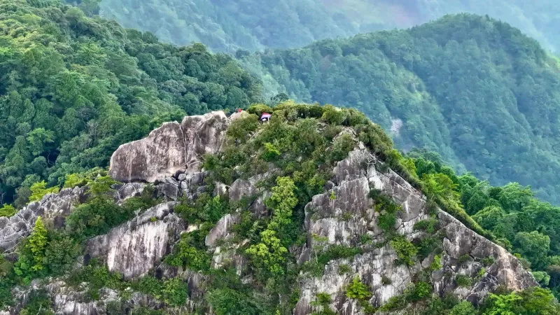
Unlike Samui’s beach boardwalks or the short waterfall stroll at Na Muang 1, this is real trail: steep, occasionally muddy, and marked mostly by race-day ribbons and worn dirt rather than signposts. That is exactly its appeal: long-tailed macaques moving through the canopy, rubber and coconut plantations giving way to primary jungle, and a summit ridge with an open, undeveloped view of the South Sea.
Key facts: Race distances ~7-55 km (100 km in past ultra editions) · Terrain: Moderate-Hard · Trailhead area: Na Mueang, southern interior · Home to the annual Samui Trail race (early-mid November) · Recommended day-hike loop: ~8 km, 3-4 hours · Hiking the network yourself: free · Elevation gain on the 15 km race route: ~864 m
The Monkey Trail Network: Distances and Routes
“Monkey Trail” isn’t a single marked path with a start and end sign: it’s the collective name for the interlocking dirt trails, plantation roads, and ridge paths across the hills behind Na Mueang. The annual Samui Trail race carves this same terrain into a graded set of official distances, which doubles as the best reference for hikers sizing up how much trail they want to tackle:
| Route | Approx. distance | Approx. elevation gain | Character |
|---|---|---|---|
| Mini / fun route | ~7 km | Minimal | Flat-to-rolling plantation tracks, family-friendly |
| SMT15 | ~15 km | ~864 m | Rolling hills into lower jungle, one sustained climb |
| SMT25 | ~25-29 km | ~2,000 m+ | Two major climbs, ridge running, tougher footing |
| SMT55 (“Samui Trail Plus”) | ~55 km | ~2,977-3,176 m | Multiple peaks, technical descents, night running |
| Historical 100 km ultra | 100 km | ~5,340 m | Full loop of the southern interior; not offered every year |
Hikers who aren’t racing generally borrow the shortest two categories (the ~7 km flat sections near Na Mueang, or a version of the 15 km route shortened into an out-and-back) since the 25 km-plus routes involve serious elevation gain better suited to trained runners or guided groups.
History: From Monkeys Trail to Samui Trail
The event was originally launched around 2019-2020 as “Monkeys Trail”, organized by the Thai trail-running outfit Teelakow (ทีละก้าว), which also runs Ultra-Trail Chiang Rai and Ultra-Trail Koh Chang. Early editions were built around a headline 100 km ultra distance with roughly 5,340 m of cumulative elevation gain and a 36-hour cutoff, plus shorter 38 km and 59 km categories, genuinely tough by regional standards for an island most visitors associate with beaches, not mountains.
The race has since been rebranded Samui Trail and folded into Thailand’s wider 4KINGs trail series, running every November (Nov 8-9, 2025; Nov 7-8, 2026) with a base at Phawanaphothikhun College in Na Mueang. Current editions center on the 15, 25, and 55 km (“Samui Trail Plus”) categories plus a short ~7 km fun run, with the 100 km ultra format appearing in some years rather than as a permanent fixture: check the current year’s race notice before assuming it’s on offer.
Terrain and Difficulty
The Monkey Trail network earns its Moderate-Hard rating honestly. Expect:
- Flat forest-canopy sections near the valley floor, shaded and relatively easy underfoot
- Steep, sustained climbs onto the ridge lines separating Na Mueang from the coast
- Loose, slippery mud on shaded sections for a day or two after rain
- Short scrambling sections on the steeper pitches, occasionally rope-assisted during race events
- Exposed ridge running on the upper sections, hot and shadeless at midday
None of this requires technical climbing skill, but it does require real fitness, grippy footwear, and respect for the tropical heat: the same combination of jungle scramble and rope-assisted sections that makes the nearby Na Muang Waterfalls Trail popular is present here at a larger scale.
Recommended Day Hike: Na Mueang to the Gulf Viewpoint
For visitors who want the Monkey Trail experience without racing it, the best option is an out-and-back version of the lower Samui Trail 15 km route, a shortened ~8 km slice of it, covering only the first climb, not the full route’s ~864 m of cumulative gain:
- Start near the Na Mueang trailhead area, on the plantation tracks behind the Na Muang waterfalls turnoff off Route 4169.
- Climb steadily for roughly 45-60 minutes through rubber and coconut plantation, then denser secondary jungle, gaining most of the day’s elevation.
- Reach the ridge viewpoint: an undeveloped overlook with a genuinely open view across Koh Samui’s southern hills to the Gulf of Thailand, with no barriers or commercial structures. Best light is early morning or late afternoon.
- Return the same way, or continue further along the ridge if you’re comfortable with more exposed, rougher trail.
Budget ~3-4 hours round trip including a rest at the viewpoint, roughly 8 km total. Bring more water than you think you need: there’s no shade on the ridge and no vendors on the trail itself outside race weekend.
Wildlife: Macaques and the Jungle Canopy
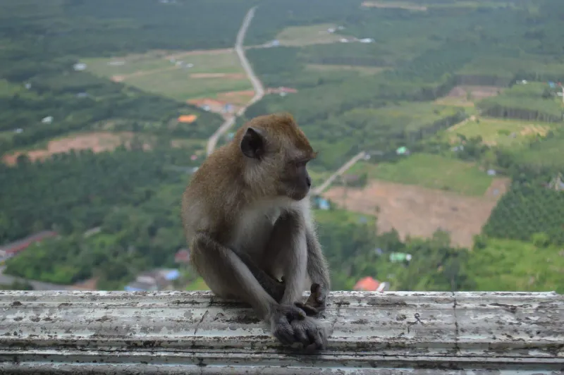
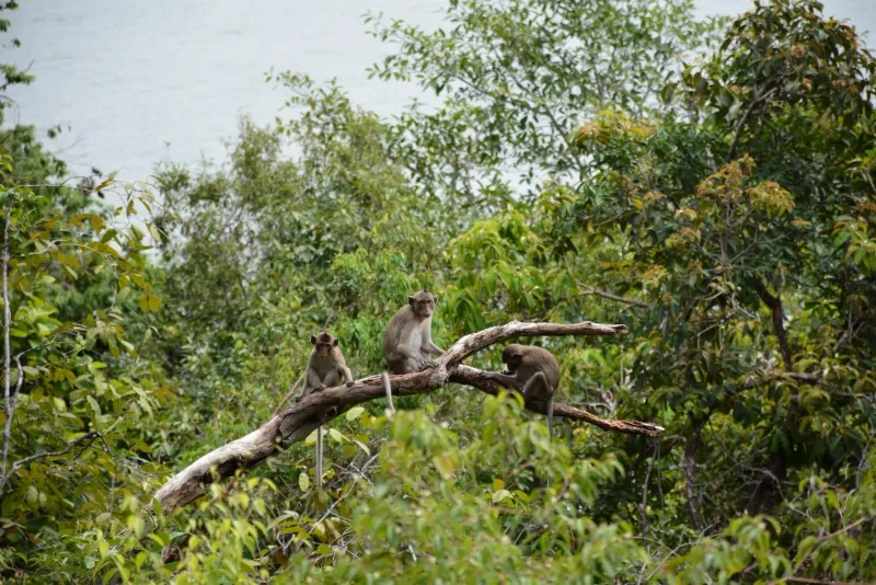
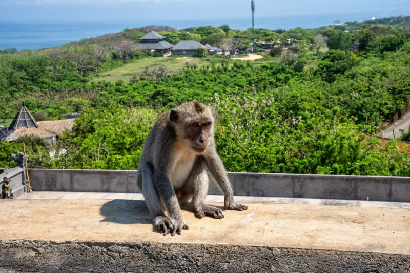
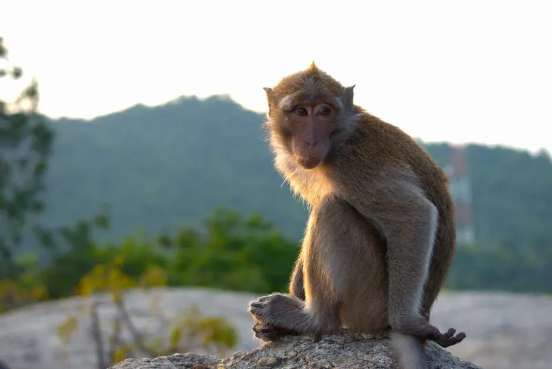
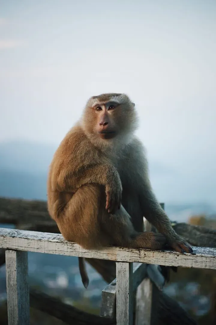
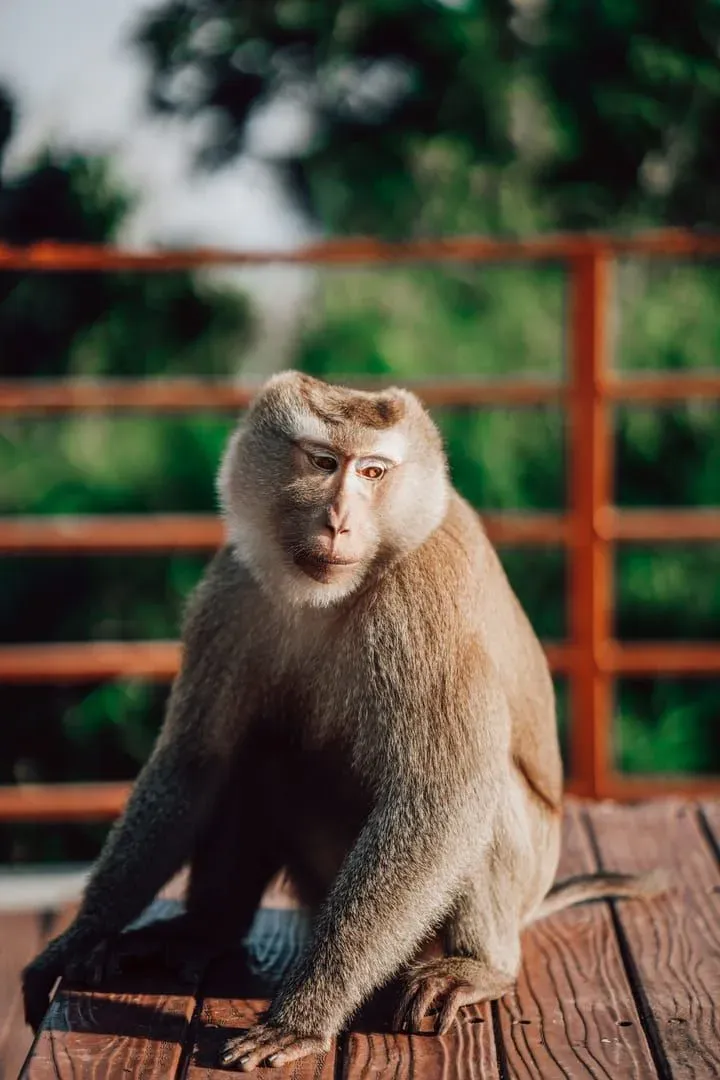
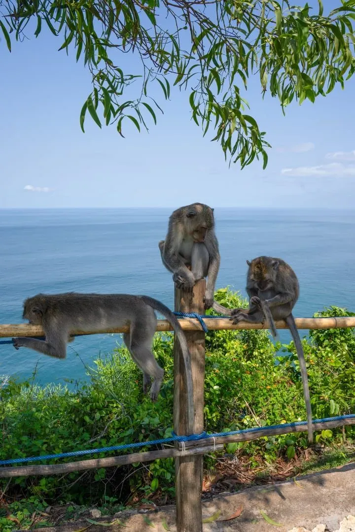
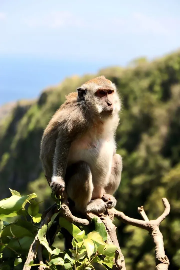
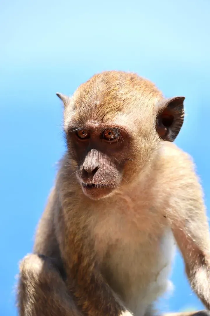
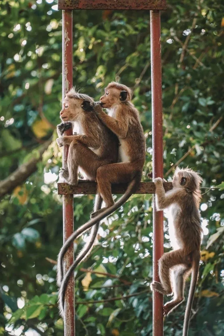
The trail’s name comes honestly from its most visible residents: long-tailed macaques (Macaca fascicularis), commonly seen moving through the canopy and along the lower sections, especially early morning. Treat them as wild animals: don’t feed them and keep a sensible distance, since habituated macaques on Samui can become bold around food and bags.
Beyond the monkeys, the forest holds monitor lizards basking on warm rock, tropical birdlife (bulbuls, sunbirds, the occasional kingfisher near stream crossings), and the buttress-root trees and tangled undergrowth typical of Samui’s remaining interior rainforest, much of it contiguous with the watershed feeding Na Muang Waterfall lower down the hillside.
The Samui Trail Running Event
Once a year, this quiet jungle network becomes the stage for Thailand’s most demanding island trail race. Samui Trail (still widely known by its earlier name, Monkeys Trail) takes over the Na Mueang hills every November, with runners moving through coconut plantations, past grazing water buffalo, and up into the misty highlands most visitors never see.
Race-day support includes water stations roughly every 2-3 km stocked with electrolyte drinks and fresh fruit, mobile medical teams, safety marshals at the more hazardous sections, and rope assistance on the steepest pitches, infrastructure worth noting if you’re considering the trail as a hiker, since none of it is there outside race weekend. Past editions have charged entry fees on the order of €70-€160 (~2,600-5,900 THB) depending on distance; check the current year’s listing on ITRA for exact pricing, cutoffs, and registration.
If you’re not racing but happen to be on Samui during the November event window, the trailhead area and lower sections are worth avoiding on race day itself: come back the following week for a quieter hike.
Getting There
Location
The Monkey Trail network sits in Koh Samui’s southern interior, in the hills above Na Mueang, the same general area as the Na Muang waterfalls, off Route 4169 between Nathon and Lamai.
| Starting Point | Drive Time | Taxi Cost |
|---|---|---|
| Nathon | 15-20 min | 400-600 THB |
| Lamai | 15-20 min | 400-600 THB |
| Chaweng | 25-35 min | 600-900 THB |
| Maenam / Bophut | 30-40 min | 700-1,000 THB |
Transport
- Scooter: Cheapest option at 150-200 THB/day rental; follow Route 4169 signage toward Na Muang, then the plantation side-roads that double as trailhead access.
- Taxi: Agree a price before departure, meters aren’t used on Samui.
- Guided group hikes: Several Samui trekking operators run guided sessions on sections of the network for visitors unfamiliar with the unmarked upper trails.
Parking is informal near the Na Muang waterfall car park (60 THB cars / 20 THB motorbikes); from there it’s a short walk to the plantation tracks that lead up into the network.
Best Time to Hike
| Season | Months | Trail Conditions | Rating |
|---|---|---|---|
| Cool/dry | Dec-Feb | Firm dirt, best footing, race season | ★★★★★ |
| Dry/hot | Mar-May | Dry but very hot by midday; go early | ★★★ |
| Early monsoon | Jun-Sep | Increasingly muddy and slippery | ★★★ |
| Peak wet | Oct-Nov | Slick clay sections, flash-flood risk on stream crossings | ★★ |
Best time of day: Start by 7-8 AM to beat the heat on the exposed ridge sections and catch the macaques while they’re most active.
What to Bring
| Item | Why |
|---|---|
| Trail shoes with real grip | Loose dirt and mud on the climbs; flip-flops are unsafe here |
| 2L+ water | No shade or vendors on the ridge sections outside race weekend |
| Sun protection | Exposed ridge running with little canopy cover |
| Insect repellent | Standing water and dense undergrowth year-round |
| Offline map / GPS track | Trail junctions are unsigned outside race weekend |
| Light rain layer | Sudden tropical showers even in the dry season |
Safety
- Navigation: Outside the annual race, the network has no consistent signage, download a GPS track or hike with someone who knows the route. Getting turned around on the plantation side-roads is the most common mistake.
- Heat: The ridge sections are fully exposed. Heat exhaustion is a bigger real-world risk here than any wildlife or terrain hazard.
- Rain: Avoid the steeper clay sections during or right after heavy rain, footing becomes genuinely treacherous.
- Solo hiking: Possible on the lower sections but not recommended on the upper ridge; tell someone your planned route and return time.
- Wildlife: Macaques are generally uninterested in hikers who aren’t carrying visible food; don’t corner or feed them.
- Race weekend: If hiking during the Samui Trail event, expect narrow single-track shared with runners, yield the trail and stay alert.
Who Is This Trail Best For?
| Hiker Type | Fit | Why |
|---|---|---|
| Trail runners | ★★★★★ | The reason the Samui Trail race exists: genuine elevation and technical footing |
| Fitness hikers | ★★★★★ | A proper workout with real jungle immersion, rare on Samui |
| Photographers | ★★★★ | Undeveloped Gulf viewpoint, macaques, dense canopy light |
| Casual tourists | ★★ | Better suited to Na Muang’s easy lower waterfall walk |
| Families with young kids | ★★ | The ~7 km flat sections work; the climbs don’t |
| Adventure travelers | ★★★★★ | Least-developed trail network on the island, minimal crowds |
FAQ
What is the Monkey Trail on Koh Samui?
The Monkey Trail (เส้นทางลิง) is a network of jungle paths and plantation tracks in the hills above Na Mueang, in Koh Samui’s southern interior. It’s used year-round for hiking and once a year as the course for the Samui Trail running event, with routes ranging from ~7 km to 55+ km.
How long is the Monkey Trail?
There’s no single fixed length: the network supports routes from a flat ~7 km loop up to a 55 km “Samui Trail Plus” ultra category, with roughly 2,977-3,176 m of elevation gain at that distance. A recommended day-hike version runs about 8 km round trip to a ridge viewpoint.
Is the Monkey Trail dangerous?
Moderate-to-hard risk for hikers. Trail junctions are unsigned outside race weekend, sections get muddy after rain, and the ridge is fully exposed to sun. It doesn’t require technical climbing skill, but proper footwear, navigation, and heat awareness matter more here than on Samui’s easier waterfall walks.
When is the Samui Trail race held?
Annually in early-to-mid November: the 2025 edition ran November 8-9 and 2026 is scheduled for November 7-8. Current editions typically offer ~7, 15, 25, and 55 km categories, with a full 100 km ultra distance appearing in some past years.
Do I need a guide to hike the Monkey Trail?
Not strictly, but it’s recommended for the upper sections. Outside race weekend the network has minimal signage, so a downloaded GPS track or a local guided group hike is the safer option for anyone unfamiliar with Na Mueang’s plantation-road maze.
How do I get to the Monkey Trail trailhead?
The access tracks sit off Route 4169 near the Na Muang waterfalls turnoff, between Nathon and Lamai. Most visitors arrive by rented scooter (150-200 THB/day) or taxi (400-600 THB from Nathon or Lamai); park near the Na Muang waterfall car park and walk up to the plantation tracks.
Published Updated
About the author
Samui69 Editorial Team
Editorial team
Guides researched and fact-checked by the Samui69 editorial team: residents and frequent visitors who verify opening hours, prices and directions on the ground.
About the author →More in Hiking
2.2 km away
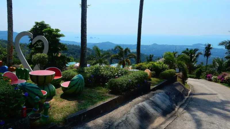
Sleeping Buddha Trail: Koh Samui's Hidden Jungle Trek
Hike the Sleeping Buddha Trail on Koh Samui: a ~90 minute moderate jungle trek beyond the Magic Garden to a golden reclining Buddha deep…
2.2 km away
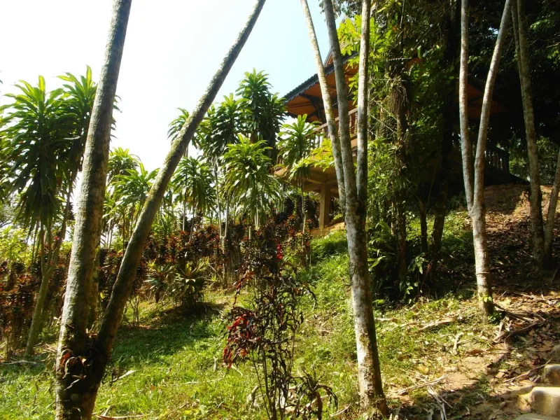
Tarnim Magic Garden: Fee, Road and What to See on Pom Mountain
Tarnim Magic Garden is the Secret Buddha Garden: a jungle sculpture park on Pom Mountain, Koh Samui.
From Island Life
Walking With a Trail Guide on Koh Samui: When You Need One
Which Koh Samui trails you can hike alone, which ones people get lost on, guided trek costs, and the heat, flash-flood and snake risks th…