From sea level to the crest
Twenty-four trails, one measured climb
Koh Samui is a single granite dome that tops out at 632 m. Every trail here starts near the sea, and how far up it takes you is the one number that predicts the rest of your day.
- trails mapped
- 24
- island crest
- 632 m
- highest point reached
- 631 m
- reach a viewpoint
- 14
- under an hour
- 7
- Khao Pom Koh Samui 631 m
- Samui 360 Viewpoint Trail 610 m
- Khao Phra Trail 515 m
- Maenam to Magic Garden Traverse 448 m
- Sleeping Buddha Trail 442 m
- Nathon Mountain Ridge Trek 285 m
- Grand Viewpoint Traverse 231 m
- Khun Si Waterfall Trail 231 m
- Tan Rua Trail 166 m
- Hog Trail 164 m
- Wang Sao Thong Trail 100 m
- Lamai Viewpoint 70 m
- Tartain Waterfall Trek 62 m
- Monkey Trail Koh Samui 56 m
- Na Muang Waterfalls Trail 56 m
- Lad Koh Viewpoint 27 m
- Hin Lad Waterfall Trail 26 m
- Overlap Stone Samui Viewpoint 17 m
- Khao Nui Loop 16 m
- Secret Buddha Garden Trail 16 m
- Lardwanorn Waterfall Loop 13 m
- Coral Cove to Silver Beach 5 m
| Trail | Height |
|---|---|
| Khao Pom Koh Samui | 631 m |
| Samui 360 Viewpoint Trail | 610 m |
| Khao Phra Trail | 515 m |
| Maenam to Magic Garden Traverse | 448 m |
| Sleeping Buddha Trail | 442 m |
| Nathon Mountain Ridge Trek | 285 m |
| Grand Viewpoint Traverse | 231 m |
| Khun Si Waterfall Trail | 231 m |
| Tan Rua Trail | 166 m |
| Hog Trail | 164 m |
| Wang Sao Thong Trail | 100 m |
| Lamai Viewpoint | 70 m |
| Tartain Waterfall Trek | 62 m |
| Monkey Trail Koh Samui | 56 m |
| Na Muang Waterfalls Trail | 56 m |
| Lad Koh Viewpoint | 27 m |
| Hin Lad Waterfall Trail | 26 m |
| Overlap Stone Samui Viewpoint | 17 m |
| Khao Nui Loop | 16 m |
| Secret Buddha Garden Trail | 16 m |
| Lardwanorn Waterfall Loop | 13 m |
| Coral Cove to Silver Beach | 5 m |
| Ang Thong Emerald Lake | off this map (Ang Thong) |
| Ang Thong Wua Talab Viewpoint | off this map (Ang Thong) |
How much day it costs
Ten minutes to six hours
Height is the first question; time on foot is the second. These 24 trails span a ten-minute stroll to a six-hour trek, so budget the walk before you budget the view.
- Lamai Viewpoint 10-15 min
- Lad Koh Viewpoint 20-40 min
- Ang Thong Emerald Lake 30-45 min
- Ang Thong Wua Talab Viewpoint 30-45 min
- Wang Sao Thong Trail 30-45 min
- Overlap Stone Samui Viewpoint 0.5-1 hr
- Coral Cove to Silver Beach 0.7-1 hr
- Lardwanorn Waterfall Loop 1-1.5 hr
- Khun Si Waterfall Trail 1-2 hr
- Secret Buddha Garden Trail 1-2 hr
- Hin Lad Waterfall Trail 1.5-2 hr
- Na Muang Waterfalls Trail 1.5-2 hr
- Tartain Waterfall Trek 1.5-2 hr
- Hog Trail 1.7-2.3 hr
- Samui 360 Viewpoint Trail 2-2.5 hr
- Sleeping Buddha Trail 2-3 hr
- Tan Rua Trail 0.8-3.5 hr
- Khao Nui Loop 2-3.5 hr
- Nathon Mountain Ridge Trek 2-4 hr
- Maenam to Magic Garden Traverse 3-4 hr
- Monkey Trail Koh Samui 3-4 hr
- Khao Phra Trail 3.5-4 hr
- Grand Viewpoint Traverse 3.5-4.5 hr
- Khao Pom Koh Samui 4-6 hr
Four commitments
Shore, foothill, ridge, summit
Every trail sorts into one of four bands by measured height. The band tells you what to expect before you tell it your fitness level.
Shore
0-50 m
7 trails
Flat, sea-level walks you could do barefoot, with nothing above 50 m to climb.
-
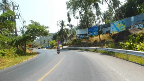 Coral Cove to Silver Beach
5 m 1 hr
-
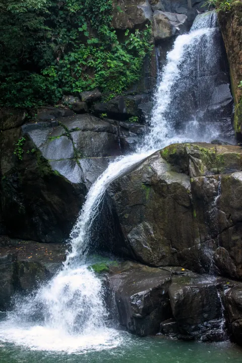 Lardwanorn Waterfall Loop
13 m 1.5 hr
-
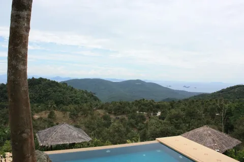 Khao Nui Loop
16 m 3.5 hr
-
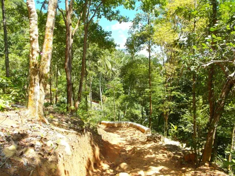 Secret Buddha Garden Trail
16 m 2 hr
-
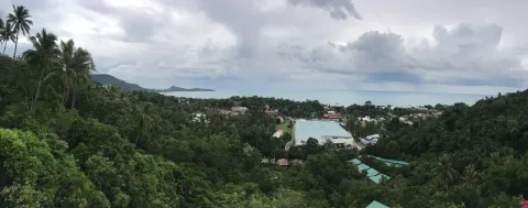 Overlap Stone Samui Viewpoint
17 m 1 hr
-
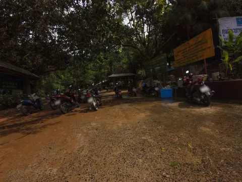 Hin Lad Waterfall Trail
26 m 2 hr
-
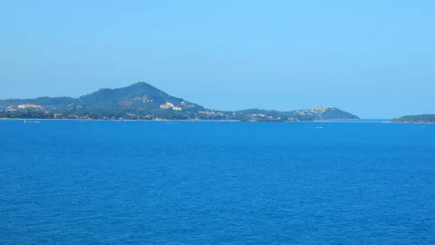 Lad Koh Viewpoint
27 m 40 min
Foothill
50-200 m
7 trails
A short rise into the foothills, enough incline to want closed shoes and a bottle of water.
-
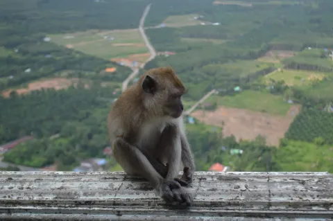 Monkey Trail Koh Samui
56 m 4 hr
-
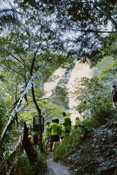 Na Muang Waterfalls Trail
56 m 2 hr
-
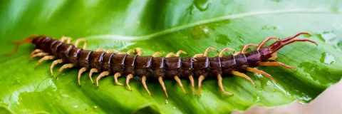 Tartain Waterfall Trek
62 m 2 hr
- Lamai Viewpoint
70 m 15 min
-
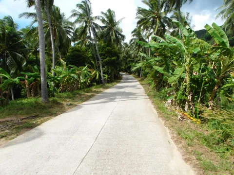 Wang Sao Thong Trail
100 m 45 min
-
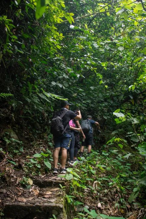 Hog Trail
164 m 2.3 hr
-
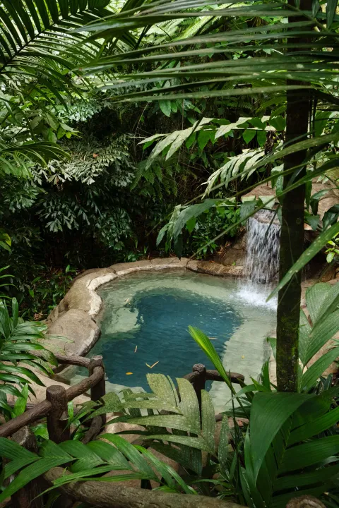 Tan Rua Trail
166 m 3.5 hr
Ridge
200-400 m
3 trails
A real climb into the ridgeline forest: an hour or more of sustained gradient and a liter of water.
-
 Grand Viewpoint Traverse
231 m 4.5 hr
-
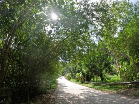 Khun Si Waterfall Trail
231 m 2 hr
-
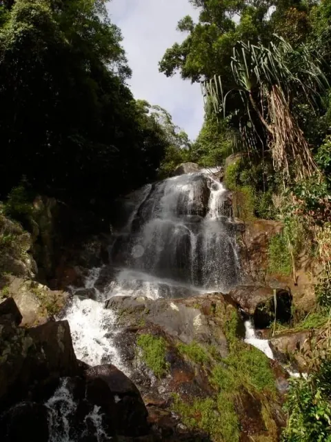 Nathon Mountain Ridge Trek
285 m 4 hr
Summit
400 m+
5 trails
A half day or more of climbing above 400 m, proper footwear, and for one trail a guide.
-
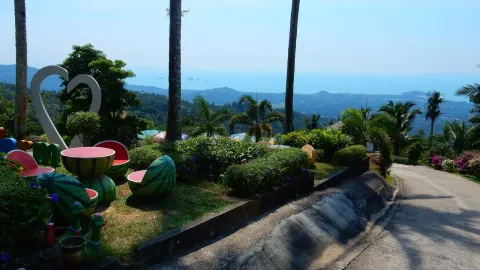 Sleeping Buddha Trail
442 m 3 hr
-
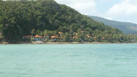 Maenam to Magic Garden Traverse
448 m 4 hr
-
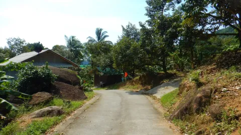 Khao Phra Trail
515 m 4 hr
- Samui 360 Viewpoint Trail
610 m 2.5 hr
-
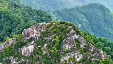 Khao Pom Koh Samui
631 m 6 hr
Off the island (Ang Thong)
2 trails
Ang Thong's two trails sit on a separate island, outside this terrain extract, so they carry no measured height here.
-
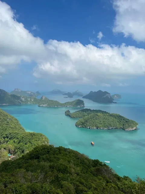 Ang Thong Emerald Lake
off this map (Ang Thong) 45 min
- Ang Thong Wua Talab Viewpoint
off this map (Ang Thong) 45 min
What is at the top
What waits at the top
Not every trail ends at a view. Some end at a waterfall, a temple, or just shade and quiet, and most stack more than one payoff on the way.
Viewpoint 14
- Khao Pom Koh Samui 631 m
- Samui 360 Viewpoint Trail 610 m
- Maenam to Magic Garden Traverse 448 m
- Nathon Mountain Ridge Trek 285 m
- Grand Viewpoint Traverse 231 m
- Khun Si Waterfall Trail 231 m
Waterfall 10
- Nathon Mountain Ridge Trek 285 m
- Grand Viewpoint Traverse 231 m
- Khun Si Waterfall Trail 231 m
- Tan Rua Trail 166 m
- Wang Sao Thong Trail 100 m
- Lamai Viewpoint 70 m
Temple 3
Shade 8
- Khao Phra Trail 515 m
- Hog Trail 164 m
- Wang Sao Thong Trail 100 m
- Tartain Waterfall Trek 62 m
- Na Muang Waterfalls Trail 56 m
- Hin Lad Waterfall Trail 26 m
Solitude 9
- Khao Pom Koh Samui 631 m
- Khao Phra Trail 515 m
- Maenam to Magic Garden Traverse 448 m
- Sleeping Buddha Trail 442 m
- Nathon Mountain Ridge Trek 285 m
- Hog Trail 164 m
When the falls run
Waterfall trails by month
Samui's waterfalls are seasonal. Walking one of these trails in the dry season can mean a dry rockface at the end of it, so check the month before you commit the climb.
Jan
9
Feb
7
Mar
3
Apr
0
May
2
Jun
3
Jul
4
Aug
7
Sep
9
Oct
10
Nov
10
Dec
9
- Dry
- Low flow
- Good flow
- Strong flow
Flow strength is a general pattern from rainfall records, not a live forecast: a dry spell in a wet month still runs low. Read the full waterfall guide
| When the falls run | Jan | Feb | Mar | Apr | May | Jun | Jul | Aug | Sep | Oct | Nov | Dec |
|---|---|---|---|---|---|---|---|---|---|---|---|---|
| 9 | 9: Strong flow | 7: Strong flow | 3: Good flow | 0: Low flow | 2: Good flow | 3: Good flow | 4: Good flow | 7: Strong flow | 9: Strong flow | 10: Strong flow | 10: Strong flow | 9: Strong flow |
In our own words
What the trail articles actually say
-
This is the hardest hike on Koh Samui by a significant margin.
-
There is no official signage or blazed trail: this is a self-guided coastal walk, not a maintained hiking path, so a downloaded map pin for each beach is more useful than trying to follow markers.
-
Parking at the trailhead costs roughly 20-50 THB, and the Tree Bridge zipline is a separate optional add-on priced around 1,600-1,700 THB per person.
-
There are two established ways to walk the Nathon Mountain Ridge, and picking the right one matters more than any other planning decision.
-
The Sleeping Buddha Trail begins inside the Secret Buddha Garden complex in Koh Samui's central interior hills, above Baan Saket and northwest of Lamai.
Before you start
Eight things worth knowing
-
Carry water
Almost none of these trails pass a water source; carry at least a liter, more above two hours.
-
Wear real shoes
Sandals cover the shore walks; anything into the foothills or higher wants closed-toe grip.
-
Expect leeches
Wet-season forest trails carry leeches. Tuck trousers into socks and check your ankles often.
-
Watch for dogs
Some trailheads pass working farms with loose dogs; a walking pole earns a wide berth.
-
Start early
Humidity builds fast after mid-morning; start before eight on anything over an hour.
-
Download the map
Mobile signal drops in the interior; save an offline map before you leave the coast road.
-
Khao Pom needs a guide
Khao Pom is the one trail here that requires a guide; several others recommend booking one.
-
Check the rain
Dirt trails turn slick and stream crossings rise fast in the wet season; check the forecast first.
Where they start
Every trailhead on one map
Twenty-four pins, each verified against its article. Open one to see the height, the time, and what is waiting at the top.
Loading the map
Places in view
22 places in view
Trails in Na Mueang
Wang Sao Thong Trail: Koh Samui's Easiest Waterfall Walk
Trails in Maenam
Tan Rua Trail: Secret Falls Hike Through Maenam's Jungle Hills
Trails in Na Mueang
Secret Buddha Garden Trail: Jungle Hike to Nim's Statues
Trails in Na Mueang
Sleeping Buddha Trail: Koh Samui's Hidden Jungle Trek
Trails in Maret
Overlap Stone Samui Viewpoint: How to Get There and How Hard
Trails in Na Mueang
Samui 360 Viewpoint Trail: Hike to the Island's Best View
Trails in Ang Thong
Nathon Mountain Ridge Trek: Koh Samui's Toughest Ridge Hike
Trails in Maenam
Maenam to Magic Garden Traverse: Koh Samui's Grand Ridge Hike
Trails in Na Mueang
Monkey Trail Koh Samui: Jungle Network & Samui Trail Race
Trails in Bo Phut
Lad Koh Viewpoint: Free Entry, Sunrise Views, 20-40 Min Walk
Trails in Maret
Lamai Viewpoint: Koh Samui's Steep Climb to Valentine Stone
Trails in Lipa Noi
Khao Phra Trail: Koh Samui's Wild Bamboo Jungle Hike
Trails in Maenam
Hog Trail: A Short, Steep Forest Hike on Koh Samui
Trails in Na Mueang
Khao Nui Loop: Koh Samui's Hidden Bird Watching Trail
Trails in Bo Phut
Coral Cove to Silver Beach: Koh Samui's Boulder-Hopping Coastal Walk
Trails in Bo Phut
Grand Viewpoint Traverse: Koh Samui's Ultimate Highland Hike
Trails in Na Mueang
Na Muang Waterfalls Trail: Jungle Hike to Purple Cascades
Trails in Ang Thong
Hin Lad Waterfall Trail: Temple Jungle Hike Near Nathon
Trails in Na Mueang
Khao Pom Koh Samui: 635 m Summit Trek, 8 km, Guide Required
Trails in Lipa Noi
Tartain Waterfall Trek: Samui's Ultimate Jungle Challenge
Trails in Bo Phut
Khun Si Waterfall Trail: The Bophut Mountain Sanctuary
Trails in Lipa Noi
Lardwanorn Waterfall Loop: Samui's Hidden West Coast Secret
The full directory
- Khao Pom Koh Samui 631 m
- Distance
- 8 km
- Time
- 4-6 hr
- Surface
- dirt, out and back
- Payoff
- Viewpoint, Solitude
- Samui 360 Viewpoint Trail 610 m
- Distance
- 4.3 km
- Time
- 2-2.5 hr
- Surface
- mixed, out and back
- Payoff
- Viewpoint
- Khao Phra Trail 515 m
- Distance
- 10 km
- Time
- 3.5-4 hr
- Surface
- dirt, out and back
- Payoff
- Shade, Solitude
- Maenam to Magic Garden Traverse 448 m
- Distance
- 10 km
- Time
- 3-4 hr
- Surface
- mixed, traverse
- Payoff
- Viewpoint, Temple, Solitude
- Sleeping Buddha Trail 442 m
- Distance
- time only
- Time
- 2-3 hr
- Surface
- dirt, out and back
- Payoff
- Temple, Solitude
- Nathon Mountain Ridge Trek 285 m
- Distance
- 8 km
- Time
- 2-4 hr
- Surface
- dirt, traverse
- Payoff
- Viewpoint, Waterfall, Solitude
- Grand Viewpoint Traverse 231 m
- Distance
- 10.2 km
- Time
- 3.5-4.5 hr
- Surface
- dirt, traverse
- Payoff
- Viewpoint, Waterfall
- Khun Si Waterfall Trail 231 m
- Distance
- 0.5 km
- Time
- 1-2 hr
- Surface
- dirt, out and back
- Payoff
- Waterfall, Viewpoint
- Tan Rua Trail 166 m
- Distance
- 0.5 km
- Time
- 0.8-3.5 hr
- Surface
- steps
- Payoff
- Waterfall
- Hog Trail 164 m
- Distance
- 5.2 km
- Time
- 1.7-2.3 hr
- Surface
- dirt, out and back
- Payoff
- Shade, Solitude
- Wang Sao Thong Trail 100 m
- Distance
- 2 km
- Time
- 30-45 min
- Surface
- dirt, out and back
- Payoff
- Waterfall, Shade
- Lamai Viewpoint 70 m
- Distance
- 0.8 km
- Time
- 10-15 min
- Surface
- steps
- Payoff
- Viewpoint, Waterfall
- Tartain Waterfall Trek 62 m
- Distance
- 1.2 km
- Time
- 1.5-2 hr
- Surface
- rock, out and back
- Payoff
- Waterfall, Shade
- Monkey Trail Koh Samui 56 m
- Distance
- 8 km
- Time
- 3-4 hr
- Surface
- dirt, loop
- Payoff
- Viewpoint, Solitude
- Na Muang Waterfalls Trail 56 m
- Distance
- 3.9 km
- Time
- 1.5-2 hr
- Surface
- mixed, out and back
- Payoff
- Waterfall, Shade
- Lad Koh Viewpoint 27 m
- Distance
- 0.35 km
- Time
- 20-40 min
- Surface
- road, out and back
- Payoff
- Viewpoint
- Hin Lad Waterfall Trail 26 m
- Distance
- 2.6 km
- Time
- 1.5-2 hr
- Surface
- dirt, out and back
- Payoff
- Waterfall, Shade
- Overlap Stone Samui Viewpoint 17 m
- Distance
- 1 km
- Time
- 0.5-1 hr
- Surface
- mixed, out and back
- Payoff
- Viewpoint
- Khao Nui Loop 16 m
- Distance
- 8.7 km
- Time
- 2-3.5 hr
- Surface
- dirt, loop
- Payoff
- Viewpoint, Shade, Solitude
- Secret Buddha Garden Trail 16 m
- Distance
- time only
- Time
- 1-2 hr
- Surface
- dirt, out and back
- Payoff
- Temple, Shade
- Lardwanorn Waterfall Loop 13 m
- Distance
- 2.5 km
- Time
- 1-1.5 hr
- Surface
- dirt, loop
- Payoff
- Waterfall, Viewpoint
- Coral Cove to Silver Beach 5 m
- Distance
- 1.4 km
- Time
- 0.7-1 hr
- Surface
- rock, out and back
- Payoff
- Solitude
- Ang Thong Emerald Lake
- Height
- off this map (Ang Thong)
- Distance
- about 400-500 steps
- Time
- 30-45 min
- Surface
- steps
- Payoff
- Viewpoint
- Ang Thong Wua Talab Viewpoint
- Height
- off this map (Ang Thong)
- Distance
- 1 km
- Time
- 30-45 min
- Surface
- steps
- Payoff
- Viewpoint
Beyond the trail
What else is near the trailhead
Most hikes here start a short ride from a beach, a waterfall or a temple worth adding to the same day.
Nearest beach
- Maenam to Magic Garden Traverse to Na Phra Lan Beach 0.4 km away
- Lad Koh Viewpoint to Coral Cove Beach 1 km away
- Lad Koh Viewpoint to Chaweng Noi Beach 1 km away
- Lardwanorn Waterfall Loop to Lipa Noi Beach 1.1 km away
- Hog Trail to Bang Po Beach 1.3 km away
Nearest waterfall
- Tan Rua Trail to Tan Rua Waterfall (Secret Falls) 0.2 km away
- Grand Viewpoint Traverse to Khun Si Waterfall 0.2 km away
- Nathon Mountain Ridge Trek to Hin Lad Waterfall 0.6 km away
- Wang Sao Thong Trail to Khao Yai Waterfall 0.9 km away
- Overlap Stone Samui Viewpoint to Sivatara Waterfall 1 km away
Nearest temple
- Lardwanorn Waterfall Loop to Wat Nara Charoen Suk 0.5 km away
- Maenam to Magic Garden Traverse to Wat Na Phra Lan 0.6 km away
- Lamai Viewpoint to Wat Sila Ngu 0.9 km away
- Overlap Stone Samui Viewpoint to Guan Yu Shrine 1 km away
- Khao Nui Loop to Wat Pradoem 1.1 km away
Guides that pass this way
- Koh Samui Waterfalls & Hiking
Koh Samui waterfalls and hiking guide: monthly flow for 11 waterfalls, stats for 24 trails, best easy and hard hikes, top viewpoints, and when to go.
- 25 Best Things to Do in Koh Samui (2026)
The 25 best things to do in Koh Samui: top beaches, temples, waterfalls, day trips, markets and nightlife, with prices, hours and directions for 2026.
- Koh Samui Packing List
A Koh Samui packing list for temple-appropriate clothing, reef-safe sunscreen, rain gear, DEET repellent, plug type and travel documents in 2026.
- Is Koh Samui Safe? Scooters, Scams, Sea & Health (2026)
Is Koh Samui safe? Yes for most trips: scooter accidents, rip currents and petty scams are the real risks. Emergency numbers and health tips for 2026.
Before you start climbing
Questions about the trails and their heights
Where do the trail heights on this page come from?
Each height is sampled from terrain data at the exact coordinate pinned on the trail's article, not taken from the article's prose. Checking that way caught two trails whose published summit figures were off by more than 150 m.
What is the highest point you can hike to on Koh Samui?
The island's measured crest is 632 m. The highest trail pin in this set reaches 515 m, on Khao Phra.
Which Koh Samui hike is the hardest?
Khao Pom, in the summit tier. It is the one trail on this page that requires a guide, and its own article calls it the hardest hike on the island by a significant margin.
Are any of these hikes flat?
Yes. The four shore-tier trails stay under 50 m, and the coastal walk to Coral Cove and Silver Beach barely climbs at all.
Do I need a guide for hiking in Koh Samui?
Only Khao Pom requires one. Several ridge and summit trails recommend a guide for navigation, and the rest are walkable alone with an offline map.
When is the best season to hike on Koh Samui?
December through February is coolest and driest for most trails. Waterfall trails are the exception: they need the wet season, roughly June through December, to actually be running.