Contents
Overview
The Nathon Mountain Ridge Trek (สันเขานาทอน) is the hardest maintained hiking route on Koh Samui, a steep interior ridge traverse that climbs from ~200m to ~450m above sea level with sweeping views over both the north and west coasts. Starting from a dirt road on the edge of Nathon, the island’s capital and main ferry port, the route runs either 8 km one-way down to Zong Raue Waterfall or 13.5 km as a full loop back around the Nathon Valley: no other Samui trail covers this much elevation or distance in one outing.
Key facts: 8 km (to Zong Raue) or 13.5 km (full valley loop) · 2-4 hours · Ridge range 200m to 450m · ~250m elevation gain · Difficulty: Hard · Trail type: point-to-point or loop · Free to hike · Sturdy shoes required · Best Dec-Apr
This is not a casual beach-town stroll. Expect a steady, sometimes steep climb through coconut plantations and evergreen forest, a narrow ridge line with drop-offs on either side near the top, and a final descent that most hikers end at the cool pools of Zong Raue. Locals and guides describe it as tough but “less strenuous than hiking to the Maenam side”, a relative comparison that still means several hours of real effort in tropical heat.
Getting to the Trailhead
The Nathon Mountain Ridge Trek begins inland from Nathon, on the west coast of Koh Samui, where the island’s passenger and car ferries from Surat Thani and Don Sak dock. From the town center, a paved road climbs east into the hills before turning into the dirt track that marks the true trailhead, at roughly 200 meters above sea level.
| From | Distance to Trailhead | Approx. Taxi Cost |
|---|---|---|
| Nathon Pier | ~3-4 km | 100-150 THB (~3-4.50 USD) |
| Maenam | ~8-10 km | 200-300 THB (~5.50-8.50 USD) |
| Lipa Noi | ~10-12 km | 250-350 THB (~7-10 USD) |
| Chaweng | ~25-30 km | 500-700 THB (~14-20 USD) |
Most hikers rent a scooter (~150-200 THB/day, ~4-6 USD) and park near the start of the dirt road, or arrange pickup with a local hiking guide who already knows the unmarked turnoff. There is no formal parking lot or ticket booth: this is a working plantation and forest track, not a tourist attraction with infrastructure.
The Route: Two Ways to Hike the Ridge
There are two established ways to walk the Nathon Mountain Ridge, and picking the right one matters more than any other planning decision.
| Route Option | Distance | Duration | Ends At |
|---|---|---|---|
| Ridge to Zong Raue | ~8 km one-way | 2-3 hours | Zong Raue Waterfall (northwest) |
| Full Valley Loop | ~13.5 km loop | 3-4 hours | Back near the Nathon trailhead |
The shorter 8 km option climbs the ridge and drops down the far side directly toward Zong Raue Waterfall, making it the natural choice if you want a swim and a shorter shuttle back to town. The 13.5 km loop instead continues around the entire Nathon Valley rim, crossing a second minor summit and descending through fruit plantations on an old paved road before rejoining the regular road network: no waterfall, but considerably more ridge-top scenery and a genuine half-day workout.
Both routes share the same first climb, so it is possible to start out and decide which way to go once you reach the mountain pass and see how your legs and the weather are holding up.
Climbing to the Mountain Pass
From the 200m trailhead, the trail follows a dirt road uphill through coconut plantations that gradually give way to denser evergreen forest. The gradient is steady rather than technical for the first stretch, but the tropical humidity makes even this section feel harder than the numbers suggest.
As the trail narrows closer to the pass, plantation gives way to genuine jungle: this is the point locals mean when they say hikers “get the true jungle experience.” Loose, sandy soil on parts of the upper track can be slippery even when completely dry, so trekking poles or a steady pace are worth more here than speed.
On the Ridge: Views Over North and West Samui
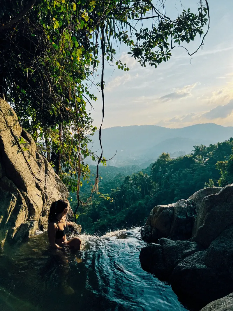
The reward for the climb comes at the mountain pass and along the narrow ridge line that follows, topping out at roughly 450 meters. From here, hikers get a genuinely rare double view: the north coast toward Maenam and Bophut on one side, and the west coast around Nathon and the ferry channel toward Koh Phangan on the other, a perspective almost no beach-level viewpoint on Samui can match.
On a clear day, the silhouette of Koh Phangan is visible across the Gulf of Thailand to the northwest. The ridge itself is narrow in places, with real drop-offs to either side, so this is not a section to hike in poor light, heavy rain, or without proper footwear.
Descending to Zong Raue Waterfall
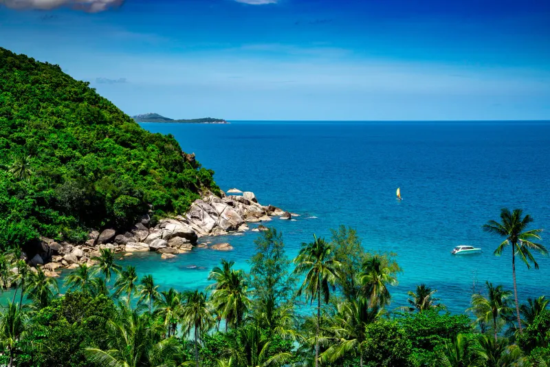
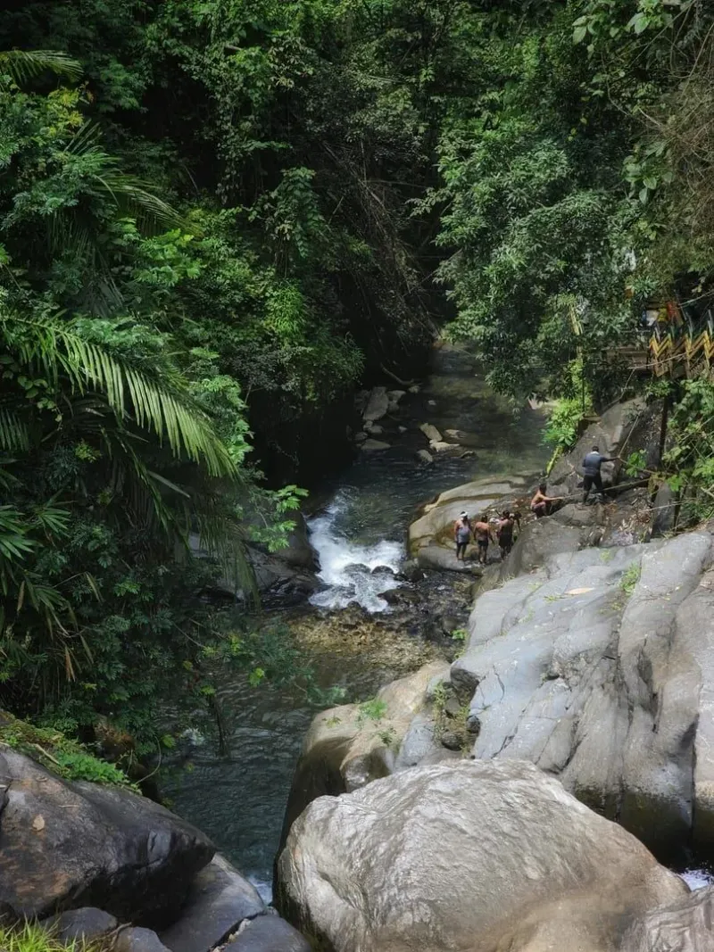
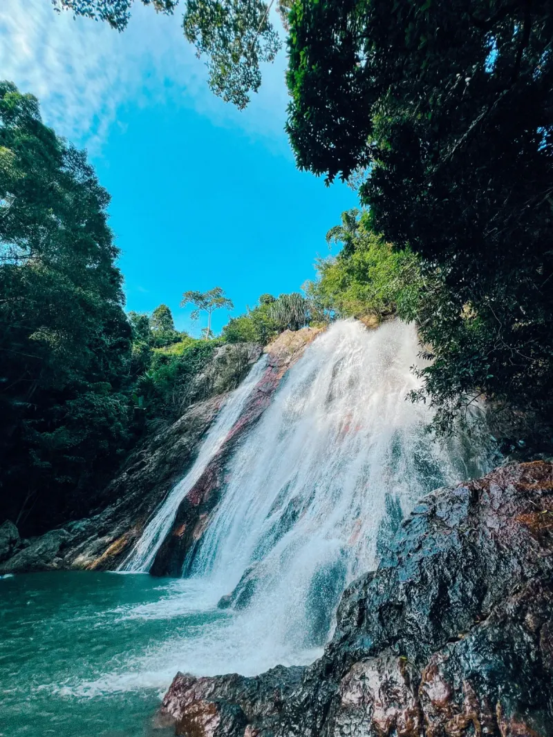
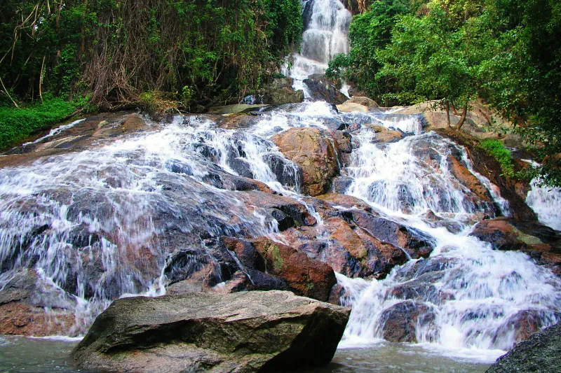
For hikers taking the 8 km option, the trail descends the far side of the ridge via dirt road before dropping through the forest toward the northwest side of the island, finishing with one short final climb to reach Zong Raue Waterfall, a peaceful, family-friendly cascade tucked inside fruit plantations, with gentle rock pools that make an ideal reward for a hard hike. Read the full Zong Raue Waterfall guide for swimming conditions, access details, and what else to do in the area.
From Zong Raue, arrange a taxi pickup in advance or walk the ~20-25 minutes down to the nearest paved road, since public transport does not reach the plantation tracks around the falls.
The Extended Valley Loop
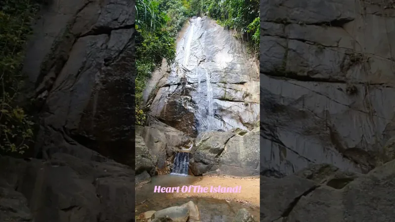
Hikers who skip the waterfall detour and continue on the full 13.5 km loop instead follow the ridge further around the rim of the Nathon Valley, climbing one additional minor summit before beginning the long descent. The final stretch passes through fruit and coconut plantations on an old paved road, with what local guides call “a last gorgeous view over the Valley of Nathon” before rejoining the regular road network near the starting point.
This loop adds roughly an hour of walking over the shorter option and trades the waterfall swim for uninterrupted ridge-top scenery, a better fit for hikers prioritizing distance and views over a cooling-off spot at the end.
Wildlife and Jungle Along the Ridge
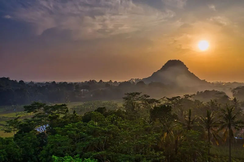
The forested sections of the Nathon ridge sit within one of the last stretches of contiguous interior forest on Koh Samui’s west side, away from the resort development that dominates the coastline. Early starts (before 9 AM) give the best chance of spotting wildlife before the heat sets in.
- Dusky langur monkeys in the forest canopy, most active early morning
- Monitor lizards basking on rocks near the plantation edges
- Tropical birds: sunbirds, bulbuls, and the occasional hornbill sighting
- Butterflies in large numbers along the shaded forest sections
- Coconut and fruit plantations worked by local farmers, still active along the lower trail
Please stay on the established track: much of the route crosses working agricultural land as well as forest, and cutting corners disturbs both crops and habitat.
Difficulty and Fitness Required
Every source describing this trail (local guides, hiking operators, and visitor reports) agrees on one point: this is the hardest standard hike on Koh Samui. The combination of ~250 meters of elevation gain, 8-13.5 km of distance, tropical heat, and a narrow, sometimes slippery ridge line puts it well above trails like the Hin Lad Trail in physical demand.
| Factor | Rating | Notes |
|---|---|---|
| Distance | Hard | 8-13.5 km depending on route chosen |
| Elevation gain | Hard | ~250m, steady climb from 200m to 450m |
| Terrain | Moderate-Hard | Dirt roads, narrow jungle trail, loose sand near the top |
| Navigation | Hard | Unmarked in sections; GPS or a guide strongly recommended |
| Heat exposure | Hard | Limited shade on ridge sections; tropical humidity throughout |
This trail is not recommended for young children, hikers with limited mobility, or anyone without recent hiking experience. Reasonable cardiovascular fitness and comfort on narrow, exposed terrain are the minimum requirements.
What to Bring and Safety
Because the Nathon Mountain Ridge Trek runs through remote plantation and forest terrain with poor signage, preparation matters more here than on any other Samui trail.
| Item | Why |
|---|---|
| Sturdy hiking shoes | Loose, sandy sections are slippery even when dry; the ridge has real drop-offs |
| 2L+ of water | No shops or refill points anywhere on the route |
| Sun protection | Long exposed ridge sections with little shade |
| Fully charged phone / GPS | Trail markings are inconsistent; offline maps recommended |
| Snacks or a packed lunch | 2-4 hours with no food stalls en route |
| Insect repellent | Forest sections have year-round mosquito activity |
Safety notes:
- Avoid the ridge sections during or immediately after heavy rain: the exposed dirt track becomes slick and the drop-offs more dangerous.
- Tell someone your planned route and expected return time before setting out, especially if hiking solo.
- Start early. An 8-10 AM start avoids the worst of the midday heat on the exposed ridge line.
- The trail is not signposted to tourist standards: treat GPS tracking as essential, not optional.
Guided Tours vs Solo Hiking
Given the poor waymarking and genuine physical difficulty, most visitors (and most local advice) favor hiking this route with an experienced local guide rather than solo. Operators such as Hiking on Samui run this exact route (both the shorter waterfall option and the full valley loop) using paths locals walked before the island’s roads were paved, and typically supply local knowledge of plantation access, current trail conditions, and safe pacing that a first-time visitor cannot easily replicate from a map alone.
Solo hiking is possible for experienced trekkers comfortable with basic navigation and self-sufficiency, but it removes the safety margin a guide provides on a trail with real elevation, heat, and exposure risk. If hiking solo, download an offline map of the route in advance from AllTrails’ Koh Samui trail listings and confirm current conditions locally: plantation access points and trail sections can shift with the season. Operator route notes, including exact turn-by-turn descriptions for both the waterfall option and the full loop, are published by Hiking on Samui.
Best Time to Hike
| Season | Months | Trail Conditions | Rating |
|---|---|---|---|
| Cool/dry season | Dec-Feb | Firm ground, clearest ridge views | ★★★★★ |
| Late dry season | Mar-Apr | Hot but stable footing | ★★★★ |
| Early monsoon | May-Jun | Increasingly slippery on upper sections | ★★★ |
| Peak monsoon | Jul-Nov | Muddy, reduced visibility, higher risk on the ridge | ★★ |
December through April offers the most reliable combination of dry footing and clear long-distance views toward Koh Phangan. During the peak monsoon months, the exposed ridge sections and loose upper trail become genuinely hazardous, and guided operators may pause tours entirely after heavy rain.
Nearby Trails and Attractions
Nathon town itself sits at the base of the trailhead and makes a natural base for the day, with ferry connections, restaurants, and the Nathon Hainan Shrine worth a look before or after the hike.
- Hin Lad Trail: a shorter, easier riverside jungle walk to a waterfall, good for comparison if the full ridge trek feels too ambitious
- Wat Hin Lad: a hillside temple near the Hin Lad valley, easily combined with a rest day after the ridge trek
- Maenam Beach: the north-coast beach visible from the ridge’s summit views, a relaxed spot to recover with a swim
- Nathon’s waterfront market: fresh seafood restaurants and ferry-side cafés for refueling after a long trek day
Who Is This Trail Best For?
| Hiker Type | Fit | Why |
|---|---|---|
| Experienced hikers | ★★★★★ | The most physically demanding standard trail on Koh Samui |
| Photographers | ★★★★★ | Rare dual coastline views from a single ridge line |
| Fitness enthusiasts | ★★★★★ | ~250m elevation gain and 8-13.5 km of sustained effort |
| Adventure travelers | ★★★★ | Remote, unmarked terrain rewards those comfortable with self-navigation |
| Families with young children | ★ | Distance, exposure, and drop-offs make this unsuitable |
| Casual tourists | ★★ | Better served by shorter, easier trails like Hin Lad |
| Budget travelers | ★★★★★ | Free to hike; only cost is transport to the trailhead |
FAQ
How long is the Nathon Mountain Ridge Trek?
There are two options: an 8 km one-way route down to Zong Raue Waterfall (2-3 hours) or a 13.5 km full loop around the Nathon Valley (3-4 hours). Both share the same initial climb from ~200m to a 450m ridge before splitting toward different endings.
Is the Nathon Mountain Ridge Trek suitable for beginners?
No. Local guides and hiking operators consistently describe this as the hardest standard trail on Koh Samui, with sustained elevation gain, narrow exposed ridge sections, and poor trail markings. Beginners are better suited to easier routes like the Hin Lad Trail before attempting this hike.
Do I need a guide for the Nathon ridge hike?
A guide is not strictly required but is strongly recommended. Trail markings are inconsistent, plantation access points can shift seasonally, and the exposed ridge sections carry real risk in poor weather. Operators like Hiking on Samui run this exact route with local knowledge of current conditions.
Does the Nathon Mountain Ridge Trek end at a waterfall?
Only the shorter 8 km option ends at a waterfall: Zong Raue Waterfall on the island’s northwest side, reached by a short final descent and climb. The longer 13.5 km valley loop instead returns to the Nathon area without a waterfall stop.
What should I bring for this hike?
At minimum: sturdy hiking shoes, 2 liters or more of water, sun protection, insect repellent, and a charged phone with offline maps loaded. There are no shops, water refill points, or food stalls anywhere along the route.
What is the best time of year to hike the Nathon Mountain Ridge?
December through April offers the driest footing and clearest long-distance views toward Koh Phangan. The peak monsoon months (July-November) bring muddy, slippery conditions on the exposed ridge sections and are best avoided.


Published Updated
About the author

Mike Brochlowski
Travel photographer & writer
Travel photographer and island explorer. Mike has spent years documenting Southeast Asia's hidden gems, from secluded beaches to jungle waterfalls.
Articles by Mike →More in Hiking

2.6 km away
Tan Rua Waterfall (Secret Falls): Free, 250 m Walk, Maenam
Tan Rua Waterfall is the Secret Falls of Koh Samui: free entry, a steep 250 m walk from parking, best Dec-Feb.
2.8 km away
Lat Wanon Waterfall: The Secluded Boulder Rapids of Lipa Noi
Discover Lat Wanon Waterfall on Koh Samui.
From Island Life
Walking With a Trail Guide on Koh Samui: When You Need One
Which Koh Samui trails you can hike alone, which ones people get lost on, guided trek costs, and the heat, flash-flood and snake risks th…