Contents
Overview
Hillcrest Drive Viewpoint is a roadside lookout on a steep hill road above Koh Samui’s far southwest corner, reached by climbing the same winding drive that serves the resorts around Thong Tanote and Phang Ka. There is no ticket booth, no railing, and — as far as any published source shows — no name on a signboard: travelers who have found it describe a wide, uninterrupted sweep of the Gulf of Thailand from a bend in the road, with the coastline dropping away below and the horizon open to the west. It is not on the standard tour-van circuit, and that is largely the appeal.
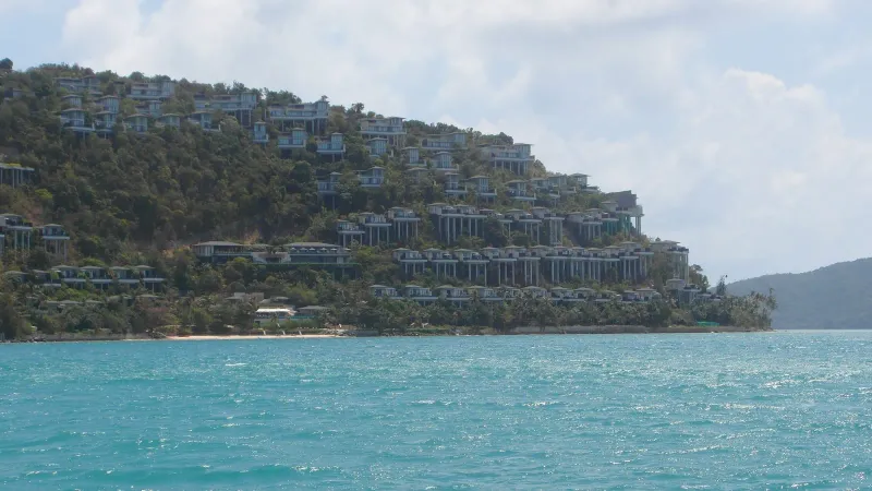
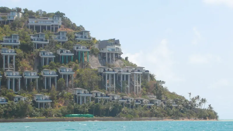
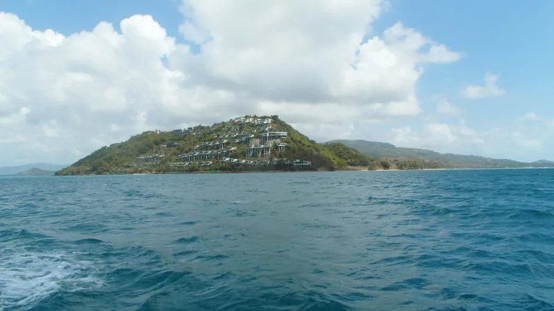
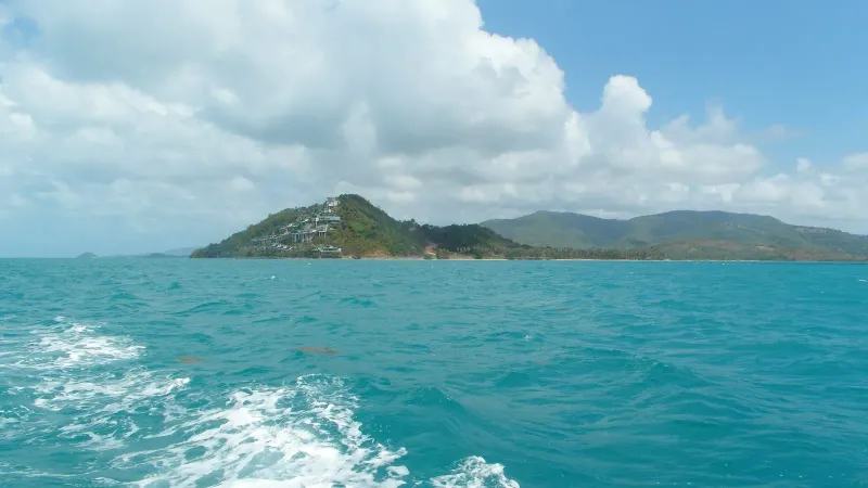
The hill itself sits inland from Thong Tanote Beach and Phang Ka Beach, on the stretch of coast southwest of Taling Ngam where the paved road narrows, climbs, and switches back on itself to reach a scatter of hillside resorts, including the Conrad Koh Samui. Hillcrest Road — the address Koh Samui’s land records and the Conrad itself both use — runs along this same ridge, which is why this write-up treats the “Hillcrest Drive Viewpoint” that travel blogs mention and the “View Point Sunset” pin recorded on OpenStreetMap as, most likely, the same hillside or close neighbors. Neither has been confirmed on the ground for this article; see the next section for exactly what is and isn’t established.
Key facts: Southwest Koh Samui, hill above Thong Tanote and Phang Ka · Reached via Hillcrest Road/Drive · No entrance fee found in any source · West-facing, sunset-oriented · ~30 minute stop per one travel account · Steep gradient — walking recommended over riding down · Not listed in mainstream tour guides
Two Names, One Hill?
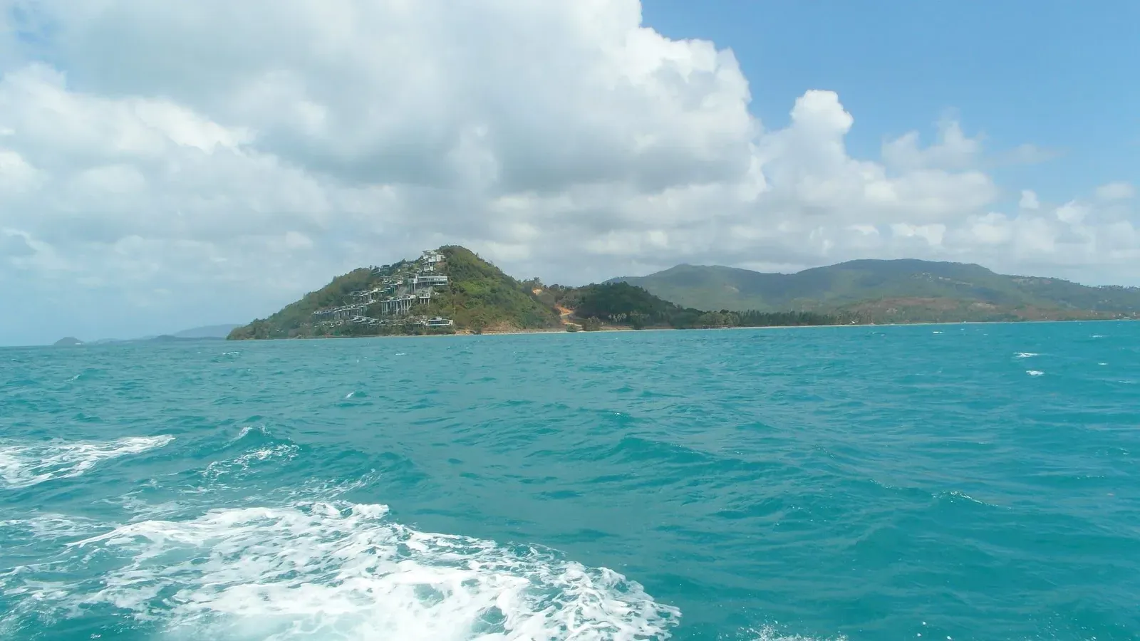
Two separate names circulate for what appears to be a single viewpoint, and it is worth being upfront about the gap in the record rather than papering over it.
Travel blogs — most substantially JourneyEra’s roundup of Koh Samui viewpoints — describe a “Hillcrest Drive Viewpoint” at the southern end of the Taling Ngam coast: a steep hill road that climbs past several resorts to a spot with a wide ocean and storm-cloud panorama. Separately, OpenStreetMap carries a point named “View Point Sunset” (node 7132586585), tagged tourism=viewpoint, at 9.4240°N, 99.9306°E, facing almost due west (bearing 270°) at roughly 105 m elevation by satellite terrain data. That OSM point sits only about 500 m from the mapped address of the Conrad Koh Samui, whose own listing gives “Hillcrest Road” as its street — the same road name the blog posts use for the viewpoint’s access route.
Two public elevation models disagree about this same point, and that’s worth stating plainly rather than smoothing over. The ~105 m figure above is the height carried with the OpenStreetMap node. This site’s own viewpoints hub prints a different number for the same coordinates — about 121 m — because that page is built from a Copernicus DEM sample taken at these coordinates. Neither the 105 m nor the 121 m figure has been checked on the ground, and that 16 m gap is why the two pages disagree — not an error on either one.
Put together, this is a reasonable but unconfirmed match: one hillside, two names attached by two different kinds of source (informal travel writing on one side, a crowdsourced map point on the other), roughly 500 m apart at most. It could equally be two separate pull-offs on the same climbing road, each with its own view. Nothing published pins down which. This article’s coordinates use the OpenStreetMap “View Point Sunset” location, since it is the only one with a specific, checkable latitude and longitude; anyone driving up Hillcrest Road in search of the “Hillcrest Drive Viewpoint” description should expect the actual best pull-off could be a short distance from this pin in either direction along the same hill.
The Climb Up Hillcrest Road
What both names agree on is the road itself. Hillcrest Drive (or Hillcrest Road — sources and official addressing use both) winds up from the coast road at the southern end of the Taling Ngam stretch, gaining height in a series of tight bends as it passes the hillside resorts built along this part of the coast. It is a paved route rather than a dirt track for at least the section that serves the resorts, but the grade is steep enough that one travel account explicitly recommends walking rather than riding a scooter down, citing the danger of the descent. No source quantifies the gradient in degrees or percent, and this article won’t invent a number — treat “steep enough to worry a travel writer” as the working description.
There’s no confirmed record of a marked trailhead, parking pull-off, or signage at the viewpoint itself. The pattern matches other unofficial Samui viewpoints: a place where the road itself opens up a view, rather than a built platform with infrastructure around it. Anyone driving should expect to look for a natural break in the tree line or a wide shoulder in the road rather than a car park.
The Horizon — What You Actually See
No single published source gives a full compass-by-compass account of the view from this exact pin, so what follows combines the direction data OpenStreetMap does carry with the geography of the surrounding coast — and flags where a claim is inferred rather than confirmed.
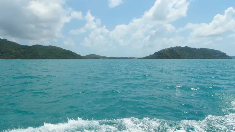
West (the confirmed direction): OpenStreetMap’s “View Point Sunset” node carries a direction tag of 270°, due west. That points straight out across the open Gulf of Thailand, with nothing but water on the horizon — the setup for the sunset the name promises.
Southwest, offshore: Continuing the arc south of due west, the water beyond Phang Ka and Thong Tanote holds Koh Samui’s own “Five Islands” cluster — the small offshore group that includes Koh Madsum, better known as Pig Island. Samui’s own Taling Ngam area guide credits this same cluster with the island’s most photographed sunsets from resorts a little further up the coast, and on the clearest days the more distant hills of Ang Thong National Marine Park are reported visible along the same stretch of horizon. Whether they’re distinguishable specifically from this hillside pull-off, as opposed to the beachfront resorts cited in that guide, hasn’t been independently confirmed.
South and below: Almost directly beneath the hill, the coastline curves through Phang Ka Beach’s wide, mirror-flat low-tide bay and on to Thong Tanote Beach’s longer stretch of sand and its working fishing pier, both a short drop in elevation from the road.
North, along the ridge: The same hillside continues north into the resort-lined stretch of Taling Ngam proper, where the coast road threads between properties terraced to face the same westward view.
East, inland: Behind the road, the hill rises into Koh Samui’s forested interior — the source material gives no name for a specific peak here, only the general backdrop of jungle-covered high ground that separates the southwest coast from the island’s center.
One further honest limitation: nothing in the record says whether the view is unbroken (a true 360-degree panorama) or partly screened by the hillside’s own resort landscaping and tree cover, since none of the resorts here are open to the public and this write-up does not describe hotel grounds as if they were.
Sunset From the Hilltop
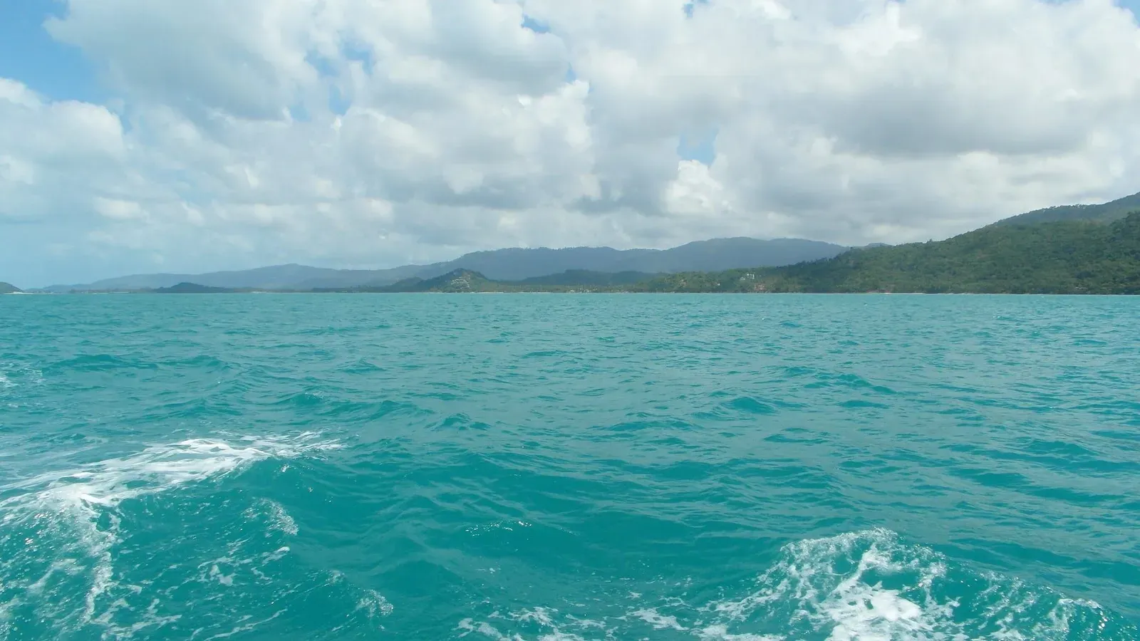
Both the road’s westward orientation and OpenStreetMap’s 270° bearing tag point the same way: this is a sunset viewpoint, not a sunrise one. The sun goes down directly into the sea rather than behind the island’s own hills, which is the case at several east-coast viewpoints where the interior blocks the actual moment of sunset. One travel account frames a stop here as roughly a 30-minute visit — long enough to watch the light change and the clouds shift, short enough that it works as a stop on a longer drive rather than a destination in itself.
No source gives a specific clock time, and Koh Samui’s sunset shifts across the year (roughly 18:00–18:45 depending on season), so anyone planning around the exact minute should check a current sunset table rather than rely on a fixed hour here.
When the Storms Roll In
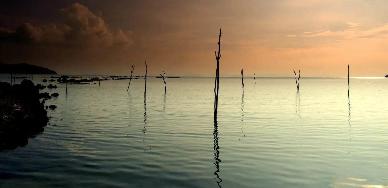
The most distinctive detail in the source material isn’t the sunset itself — it’s the weather. JourneyEra’s account describes watching storm clouds build and roll across the ocean from this hillside, more than once, and treats that dramatic sky as much a part of the view as clear-weather color. That fits Koh Samui’s climate pattern: the island’s wetter months (roughly October and November, with a secondary damper stretch earlier in the monsoon season) bring exactly the kind of towering, fast-moving cloud systems that make an open sea view like this one worth watching even without a clean sunset.
The trade-off is practical rather than scenic: a steep, winding road with no formal shoulder is a worse place to be caught in heavy rain, especially on a scooter, and the “walk down rather than ride” advice from the source material applies even more once the road is wet.
Surface, Access and Fees
No source — travel blog, mapping database, or otherwise — mentions an entry fee, ticket booth, or opening hours for this viewpoint, and none describes a managed facility of any kind. Treat it as a free, unstaffed roadside spot rather than an attraction with posted hours, and don’t expect toilets, a shop, or shade.
On surface and difficulty: the road up is paved for the section serving the resorts, though the specific pull-off point where the view opens up is not independently documented for its surface condition. A moped can make the climb, but the steep gradient is exactly what one source flags as the reason to walk rather than ride, particularly on the way back down.
Nearby Attractions
Hillcrest Road sits within easy reach of the same corner of coast it looks out over.
- Phang Ka Beach — the quiet, low-tide bay directly below the hill, a short drop from the road.
- Thong Tanote Beach — a working fishing village beach a little further along the same stretch of coast, with longtail access to the offshore islands.
- Taling Ngam — the wider hillside resort area to the north, built around the same westward sunset outlook, with the Conrad and InterContinental as its anchor properties.
- Koh Samui’s viewpoints guide — for how this hilltop compares with the island’s other lookouts, including the easier, more visited spots on the east coast.
Because none of these sit more than a few minutes apart on the same road, a visit here pairs naturally with a beach stop at Phang Ka or Thong Tanote either before or after the light changes.
Getting There
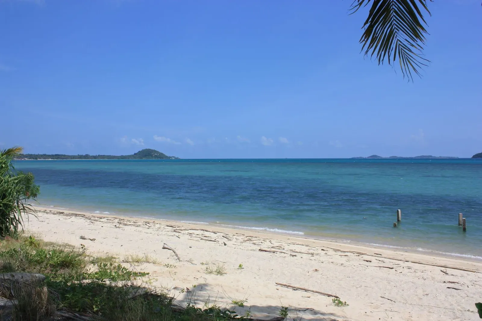
There is no public transport route up Hillcrest Road, and no source lists a taxi fare specific to this hillside stop — the corner of the island is remote enough that most visitors reach it by rental car or scooter, or as part of a longer drive along the southwest coast.
| Starting Point | Approximate Drive |
|---|---|
| Taling Ngam resort strip | A few minutes along the same coast road |
| Nathon (west coast town) | Roughly 30–40 minutes via the southwest coast road |
| Chaweng / east coast | Roughly 45–60 minutes across the island |
| Samui Airport | Comparable to the airport-to-Taling Ngam drive cited in the area guide, around 45 minutes |
These are approximate, road-condition-dependent figures inferred from the surrounding area’s known travel times rather than a source that timed this specific hill — treat them as a planning range, not a fixed schedule. Whichever direction you’re coming from, look for the turn that climbs away from the coast road at the southern end of the Taling Ngam stretch, and follow it upward until the tree line breaks and the sea opens up on your right.
Best Time to Visit
| Season | Months | What to Expect |
|---|---|---|
| Cool/dry | Dec–Feb | Clearest skies, best odds of an unobstructed sunset |
| Hot/dry | Mar–May | Clear but often hazy by late afternoon; go close to sunset itself |
| Early monsoon | Jun–Sep | More cloud, but the kind of dramatic storm-cloud views the source material highlights |
| Peak monsoon | Oct–Nov | Heaviest rain and lowest visibility; the steep road is at its most hazardous |
Late afternoon into the sunset hour is the only time of day the source material actually recommends — there’s no case made anywhere for a morning or midday visit, since the point of the spot is the westward light.
Practical Tips
- Walk the last stretch if you rode up. The one detailed source on this viewpoint is explicit that riding down the gradient is more dangerous than riding up — park where you can and walk the final section if you’re unsure.
- Bring your own water and shade. Nothing at the site is documented as a facility of any kind, so treat it like any undeveloped roadside stop.
- Check the sky before committing. Given the storm-cloud pattern described here, a clear crossing to the coast can turn overcast by the time you reach the top — a quick look at the horizon from lower down can save the trip.
- Don’t rely on signage. No source describes a marked viewpoint sign; watch for the point where the tree cover opens rather than looking for a name on a board.
- Combine it with a beach stop. Phang Ka and Thong Tanote are close enough that either makes a natural bookend to a sunset visit here.
- Respect that the surrounding land is private resort property. The hillside road passes working hotels; the viewpoint itself is on the public road, but nothing described here is an invitation onto resort grounds.
Who Should Visit — and Who Should Skip It
| Traveler Type | Fit | Why |
|---|---|---|
| Sunset chasers with a rental vehicle | Strong | West-facing, uncrowded, and paired with genuine ocean depth |
| Photographers who like dramatic skies | Strong | The storm-cloud panorama described here is unusual among Samui’s more postcard-clear viewpoints |
| Travelers without their own transport | Weak | No public transport route and no confirmed taxi pattern to this exact spot |
| Anyone uneasy on steep roads | Weak | The gradient is explicitly flagged as risky enough to walk rather than ride down |
| Visitors wanting a built, signed attraction | Weak | No facilities, no signage, and even the name is unconfirmed |
FAQ
Is Hillcrest Drive Viewpoint the same place as “View Point Sunset” on the map?
Probably, but it isn’t confirmed. Travel blogs describe a “Hillcrest Drive Viewpoint” on the steep hill above Taling Ngam, while OpenStreetMap separately marks a “View Point Sunset” point about 500 m from the Conrad Koh Samui’s address on the same Hillcrest Road. They may be the same pull-off or two nearby spots on the same hill — no source confirms which.
Is there an entrance fee for Hillcrest Drive Viewpoint?
No source mentions any entrance fee, ticket booth, or opening hours. It reads as a free, unstaffed roadside viewpoint rather than a managed attraction, so budget nothing beyond your own transport costs.
Can I ride a scooter to Hillcrest Drive Viewpoint?
You can ride up, but the one detailed travel account of this spot specifically recommends walking rather than riding back down, because of how steep the road gets. Treat the descent as the riskier half of the trip, especially if the road is wet.
Is Hillcrest Drive Viewpoint good for sunrise or sunset?
Sunset. The viewpoint faces west (OpenStreetMap records a 270° bearing), out over the open Gulf of Thailand, which puts the sunset directly ahead rather than behind you. There’s no case made anywhere for visiting at sunrise.
How long should I plan to stay at Hillcrest Drive Viewpoint?
One travel account frames a visit here as roughly a 30-minute stop — enough time to watch the light and clouds shift without turning it into a destination on its own. It works well as a stop on a longer drive around Taling Ngam, Phang Ka, and Thong Tanote.
What can I see from Hillcrest Drive Viewpoint besides the sunset?
Beyond the sea to the west, the record points to Koh Samui’s offshore “Five Islands” cluster to the southwest, the coastal bays of Phang Ka and Thong Tanote directly below, and — when the weather turns — the storm clouds that one visitor specifically called out as a highlight of the view.
Published on
About the author

Mike Brochlowski
Travel photographer & writer
Travel photographer and island explorer. Mike has spent years documenting Southeast Asia's hidden gems, from secluded beaches to jungle waterfalls.
Articles by Mike →More in Viewpoints
3.6 km away
Wat Kiri Wongkaram — The Peaceful Mummified Monk of the West
Discover Wat Kiri Wongkaram in Taling Ngam, Koh Samui — a quiet alternative to busier temples, with Luang Por Ruam's mummified body and w…

4.0 km away
Wat Khao Chedi — The Pristine White Viewpoint of the South
Discover Wat Khao Chedi: its white stupa, golden 'Baby Buddha' statue, and 360-degree views of Koh Samui's southern and western coasts.
Next in Viewpoints
Maenam Viewpoint — The Coastal Gazebo on Maenam Beach's West End
Maenam Viewpoint is a free gazebo on a low cliff at Maenam Beach's west end — not the Nathon ridge hike that shares its name.