Contents
Overview
The best overall viewpoint on Koh Samui is Lad Koh Viewpoint — a free, 20-40 minute roadside walk on Route 4169 to a railed platform over Chaweng Bay, best at sunrise. The best sunset pick is Lamai Viewpoint, a steep 300-step climb (or cable car) above Lamai Beach. For hikers chasing a genuine summit, Khao Pom is the island’s 635-meter high point, and for a view no scooter can reach, the Ang Thong Wua Talab Viewpoint climbs 500 limestone steps over 42 islands on a boat-only day trip.
Koh Samui packs ten worthwhile lookout points into one island — from a paved ten-minute stroll to a guide-required jungle expedition — each with its own coast, best light, entry fee and access road. This guide ranks all ten, compares them side by side, and links the full hiking guide for each so you can plan the exact route, parking spot and gear.
This list is a ranked, opinionated top ten. For a fuller, evidence-based index of every lookout on the island, including ones that didn’t make this list, see Viewpoints.
Key takeaways
- Lad Koh Viewpoint is the easiest and only fully free, zero-hiking option — best at sunrise.
- East-coast viewpoints (Lad Koh, Overlap Stone) favor sunrise; west and southeast viewpoints (Nathon Ridge, Lamai Viewpoint) favor sunset.
- Two viewpoints — both inside Ang Thong National Marine Park — are boat-only; no scooter or taxi road reaches them.
- Khao Pom Summit is the only entry that legally requires a paid local guide (2,000-3,000 THB per group).
- Dry season (December-April) gives the clearest long-distance views; see When to Go for month-by-month trail conditions.
Viewpoints Compared
Coast determines light: east-facing platforms catch the sunrise over open water, while west and south-facing ones catch sunset. Entry fees and road difficulty come from each viewpoint’s own guide (linked) and are current as of September 2026.
| Viewpoint | Coast | Sunrise or Sunset | Entry Fee (THB) | Road Difficulty | Walk from Parking |
|---|---|---|---|---|---|
| Lad Koh Viewpoint | East | Sunrise | Free | Scooter-safe | ~20-40 min RT (paved path + steps) |
| Overlap Stone Viewpoint | Southeast | Sunrise or late afternoon | ~200 THB (~5.50 USD) | Scooter-safe (steep final stretch) | ~0.5 km one-way, 15-20 min |
| Lamai Viewpoint | Southeast | Sunset | ~100-300 THB (~3-8.50 USD) | Scooter-safe | ~300 steps, 10-15 min (or cable car) |
| Samui 360 Viewpoint | Central | Sunrise or sunset | Free (~20-40 THB donation) | 4WD/taxi recommended | 4.3 km RT, 2-2.5 hrs |
| Grand Viewpoint Traverse | Central | Sunrise (early start) | Free (~50 THB parking) | Scooter-safe to trailhead | ~10.2 km RT, ~4 hrs |
| Khao Pom Summit | Central | Sunrise (guided) | Free (guide 2,000-3,000 THB) | 4WD/taxi only | ~8 km RT, 4-6 hrs |
| Nathon Ridge | West | Sunset | Free | Scooter-safe to trailhead | 8-13.5 km, 2-4 hrs |
| Monkey Trail Ridge Viewpoint | South | Sunrise or late afternoon | Free | Scooter-safe to Na Muang car park | ~4 km one-way, ~3-4 hrs RT |
| Ang Thong Wua Talab Viewpoint | West (boat only) | Morning, tour-dependent | 300 THB (~8.50 USD) park fee | Boat only — no scooter access | ~500 m / 500 steps, 25-45 min |
| Ang Thong Emerald Lake Viewpoint | West (boat only) | Midday, tour-dependent | 300 THB (~8.50 USD) park fee | Boat only — no scooter access | ~300-400 m / ~400-500 steps, 20-30 min |
Lad Koh Viewpoint
Lad Koh Viewpoint is Koh Samui’s easiest viewpoint, a free roadside pull-off on Route 4169 between Chaweng and Lamai reached without any real hiking. 1) The full round trip — paved path plus one flight of steps to a lower platform — takes just 20-40 minutes. 2) Entry and parking are both free, with only snack stalls (40-100 THB, ~1-3 USD) on site. 3) The platform sits just ~10 m above sea level, roughly 10 minutes from Chaweng by scooter or taxi. Pros: zero fitness required, free, open until 5:00 PM. Cons: shares the view with tour vans and traffic noise from the ring road behind. Best for: anyone short on time or fitness who still wants a genuine sunrise photo over Chaweng Bay.
Overlap Stone Viewpoint
Overlap Stone Viewpoint (หินซ้อน) is a balanced granite boulder in the hills above Lamai Beach, reached by a short, steep climb starting opposite Wat Sila Ngu. 1) The trail runs ~0.5 km one-way, taking 15-20 minutes at a steady pace. 2) Entrance costs ~200 THB (~5.50 USD) per person, usually including a soft drink, plus an optional 20-50 THB parking fee. 3) The lookout sits ~150 m above sea level with views over Lamai Bay and the Gulf of Thailand. Pros: short, dramatic rock formation, free pickup-truck shuttles for those who skip the climb. Cons: the final approach road is steep and narrow for underpowered rental scooters. Best for: budget travelers near Lamai wanting a quick payoff view.
Lamai Viewpoint
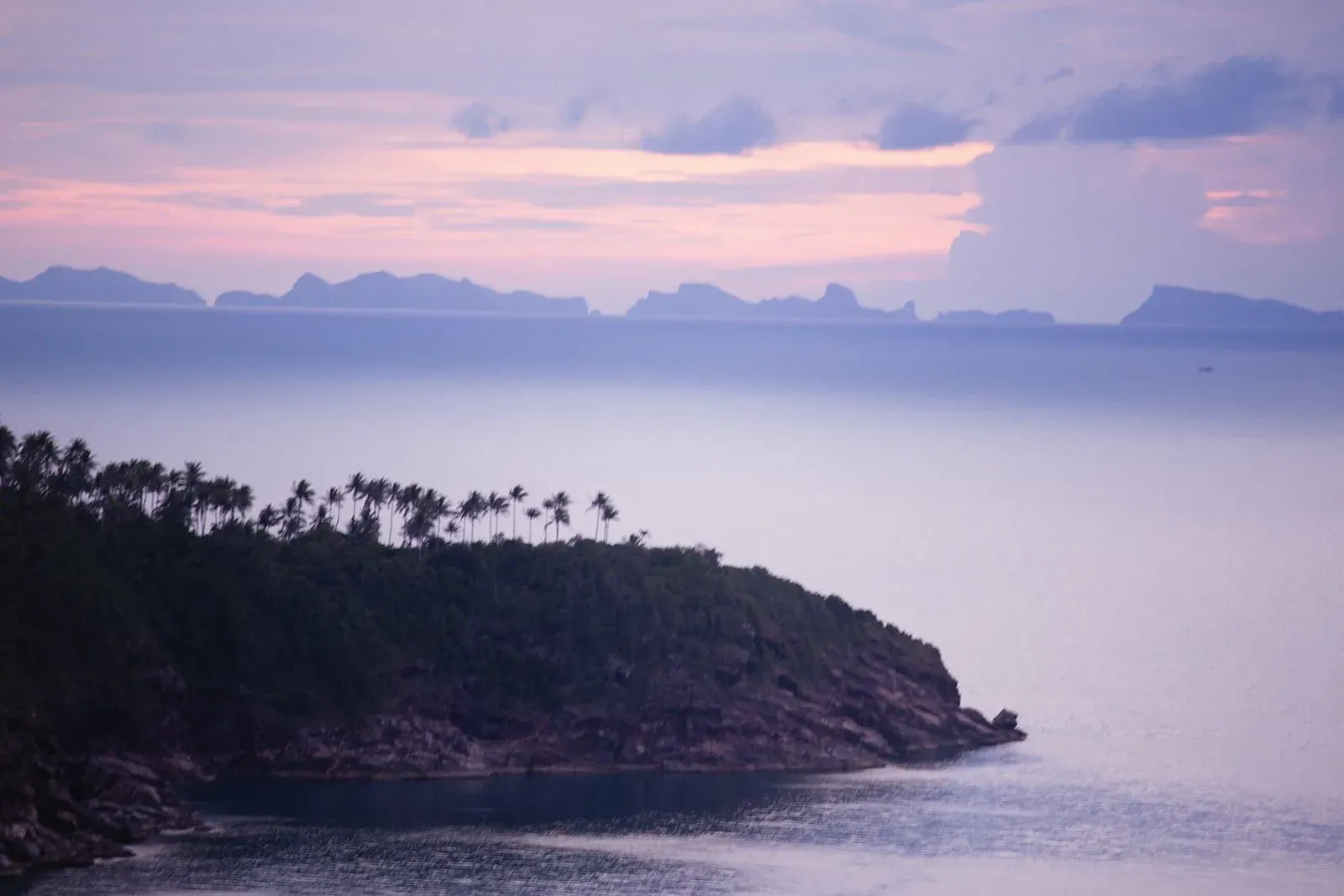
Lamai Viewpoint is a developed hilltop lookout directly above Lamai Beach, reached by roughly 300 concrete steps or a cable car for those who’d rather skip the climb. 1) The stair climb takes 10-15 minutes each way, covering under 1 km round trip. 2) Basic entry to the Valentine Stone and waterfall area runs ~100 THB (~3 USD); adding the viewpoint hike or cable car pushes packages to 200-1,000 THB (~5.50-29 USD). 3) The summit sits at ~80 m elevation over Lamai Bay. Pros: paved path, handrails, restaurant and cable car option. Cons: the short distance disguises a genuinely steep, sweaty climb in tropical heat. Best for: sunset visitors who want infrastructure — food, drinks, a mobility-friendly cable car — with their view.
Samui 360 Viewpoint
The Samui 360 Viewpoint is reached by a 4.3 km round-trip trail starting at the Phra Buddha Dipankara statue at Wat Teepangkorn, ending at the island’s single best 360-degree panorama. 1) The hike climbs ~426 m of elevation gain over 2-2.5 hours, rated moderate. 2) Entry is free beyond a customary ~20-40 THB donation at the temple. 3) AllTrails rates the route 4.1 out of 5, citing views from every direction as the highlight. Pros: genuinely 360-degree summit views, no guide needed. Cons: the vehicle access road is steep and unpaved near the top — a 4x4 or taxi beats a rental scooter. Best for: moderate-fitness hikers who want the island’s best all-round panorama without a guide.
Grand Viewpoint Traverse
The Grand Viewpoint Traverse is Koh Samui’s longest connected highland route, linking Khun Si Waterfall above Bophut to multiple viewpoints and a mountaintop restaurant. 1) The full trek covers ~10.2 km with ~586 m of cumulative elevation gain, taking around 4 hours. 2) Trailhead parking costs roughly 50 THB (~1.50 USD) for cars and motorbikes. 3) The route strings together at least two named viewpoints before finishing at a restaurant with a 360-degree outlook. Pros: the most scenery per hike on the island, food available at the halfway restaurant. Cons: no reliable water source on trail — carry at least 2 liters. Best for: fit hikers who want a full day in the central highlands rather than a single lookout.
Khao Pom Summit
Khao Pom Summit is Koh Samui’s highest point at 635 meters, reached through primary rainforest on an unmarked trail that legally requires a local guide. 1) The round trip covers ~8 km and takes 4-6 hours through steep, leech-prone jungle. 2) A guide costs 2,000-3,000 THB per group (not per person), typically split among 1-4 hikers. 3) There is no marked trail, no signage and no cell signal in the dense canopy. Pros: the most remote, untouched rainforest experience on the island. Cons: hard difficulty, mandatory guide cost, no shortcuts. Best for: experienced hikers who want a genuine summit expedition rather than a roadside view.
Nathon Ridge
The Nathon Ridge trek (formally the Nathon Mountain Ridge Trek) climbs inland from Nathon on the west coast to an exposed ridge with sea views in two directions. 1) Two route options exist: an 8 km trek to Zong Raue Waterfall (2-3 hours) or a 13.5 km full valley loop (3-4 hours). 2) The ridge climbs from a ~200 m trailhead to ~450 m, with ~250 m of total elevation gain. 3) Hiking is free, but there is no formal parking lot — most hikers rent a scooter (~150-200 THB/day) and park near the dirt-road trailhead. Pros: widely regarded as the island’s hardest standard hike, genuinely uncrowded. Cons: narrow, sometimes slippery ridge line with no shade. Best for: fitness hikers chasing sunset views over the Nathon Valley without a boat trip.
Monkey Trail Ridge Viewpoint
The Monkey Trail’s ridge viewpoint is an undeveloped overlook in the hills above Na Mueang, reached via the same plantation-road network used by the annual Samui Trail race. 1) The recommended day-hike version runs ~8 km round trip, taking 3-4 hours including a rest at the top. 2) Hiking the network independently is free; parking near the Na Muang waterfall car park costs 60 THB for cars or 20 THB for motorbikes. 3) The overlook offers a genuinely open view across Koh Samui’s southern hills to the Gulf of Thailand, with no barriers or commercial structures. Pros: free, uncommercialized, open views in two directions. Cons: minimal signage outside race weekend — a downloaded GPS track is essential. Best for: hikers who want an undeveloped viewpoint without paying an entry fee.
Ang Thong Wua Talab Viewpoint
The Ang Thong Wua Talab Viewpoint sits atop Koh Wua Talab, the park headquarters island of Mu Ko Ang Thong National Marine Park, reached only by boat. 1) The climb covers ~500 steps over roughly 500 meters, taking 25-45 minutes each way. 2) The national park entrance fee is 300 THB (~8.50 USD) for foreign adults, on top of a boat tour priced 1,000-2,500 THB (~29-71 USD). 3) Five viewpoint clearings along the ascent offer progressively wider views over all 42 of Ang Thong’s islands. Pros: arguably the single most photographed view associated with Koh Samui. Cons: always a full-day boat excursion, never a standalone hike. Best for: day-trippers who want the island’s most dramatic panorama and don’t mind a boat ride to get there.
Ang Thong Emerald Lake Viewpoint
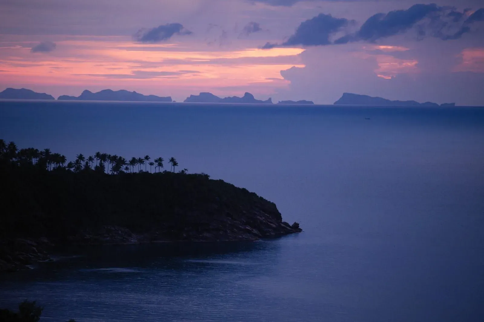
The Ang Thong Emerald Lake Viewpoint overlooks Talay Nai, a turquoise lagoon enclosed by limestone cliffs on Koh Mae Ko, reached on the same boat-only day trips as Wua Talab. 1) The climb runs roughly 300-400 meters over ~400-500 steps, taking 20-30 minutes up and 15-20 minutes back down. 2) The same 300 THB (~8.50 USD) national park fee applies, usually bundled into tour packages of 1,200-2,800 THB (~34-80 USD). 3) Swimming in the lake itself is not permitted — the payoff is strictly the elevated view. Pros: one of the most photographed lagoons in Thailand, often combined with Wua Talab in one day. Cons: continuous stairs with no flat rest points; midday heat on open stone steps can be intense. Best for: photographers and day-trippers pairing two viewpoints in a single Ang Thong tour.
How We Chose
Every viewpoint on this list has its own dedicated hiking guide on this site with independently verified distance, elevation, fee and access details — see the waterfalls and hiking guide for the full 24-trail comparison this list draws from. We prioritized genuine payoff views over developed attractions with only incidental scenery, and split entries across both coasts and both boat-only and land-based access so the list works for a range of fitness levels and trip lengths. Road difficulty and entry fees reflect conditions as of September 2026 and should be reconfirmed locally for the boat-only Ang Thong entries, since tour pricing shifts seasonally. December through April brings the clearest long-distance views from every viewpoint on this list.
FAQ
What is the best sunrise viewpoint in Koh Samui?
Lad Koh Viewpoint is the best sunrise spot — a free, 20-40 minute roadside walk on Route 4169 to a railed platform over Chaweng Bay, facing directly east. Overlap Stone Viewpoint above Lamai is a close second for hikers willing to pay a ~200 THB entrance fee.
What is the best sunset viewpoint in Koh Samui?
Lamai Viewpoint is the top sunset pick, reached by 300 steps or a cable car above Lamai Beach, with a restaurant at the summit for watching the light fade. Nathon Ridge on the west coast is the harder, wilder alternative for fit hikers.
Which Koh Samui viewpoint is free to visit?
Lad Koh Viewpoint, Samui 360 Viewpoint (donation only), Grand Viewpoint Traverse, Khao Pom Summit (guide fee applies separately), Nathon Ridge and the Monkey Trail ridge viewpoint all charge no entrance fee, though several have small parking or donation costs.
Can I reach Koh Samui’s viewpoints by scooter?
Most, yes — Lad Koh, Overlap Stone, Lamai Viewpoint, Grand Viewpoint Traverse, Nathon Ridge and the Monkey Trail trailhead are all scooter-accessible. The Samui 360 Viewpoint access road is steep enough that a 4x4 or taxi is safer for first-time riders, and both Ang Thong viewpoints require a boat — no road reaches them at all.
Do any Koh Samui viewpoints require a guide?
Only Khao Pom Summit legally requires one — the unmarked primary-rainforest trail has no signage or cell signal, and guides cost 2,000-3,000 THB per group. Every other viewpoint on this list is signed or well-tracked enough to hike independently, though a downloaded GPS route helps on the Monkey Trail network.
When is the best time of year to visit Koh Samui’s viewpoints?
December through April gives the clearest long-distance views and driest, least slippery trail surfaces, according to seasonal rainfall data also used in our waterfalls and hiking guide. September-November peak monsoon brings muddy paths and reduced visibility, especially on exposed routes like Nathon Ridge.
Getting to any of these viewpoints independently means renting a scooter or booking a taxi — see our getting around Koh Samui guide for current fares and road rules on Route 4169. For the full 24-trail breakdown these picks are drawn from, including waterfalls and difficulty ratings beyond viewpoints, visit the waterfalls and hiking guide, or head back to things to do in Koh Samui for the island’s complete attraction list.
Published on
About the author

Mike Brochlowski
Travel photographer & writer
Travel photographer and island explorer. Mike has spent years documenting Southeast Asia's hidden gems, from secluded beaches to jungle waterfalls.
Articles by Mike →More in Travel Guides

Also in 25 Best Things to Do in Koh Samui (2026)
Koh Samui Events Calendar 2026-2027 — Dates, Prices & Crowds
Koh Samui events calendar 2026-2027: Songkran, Loy Krathong, Full Moon Party dates, the Samui Regatta and Chaweng's NYE countdown, with p…
Also in 25 Best Things to Do in Koh Samui (2026)
18 Free Things to Do in Koh Samui (2026)
18 free things to do in Koh Samui — temples, beaches, waterfalls and viewpoints — plus the real costs some 'free' spots hide.

Also in 25 Best Things to Do in Koh Samui (2026)
Golf in Koh Samui — Santiburi Green Fees, Football Golf & Mini Golf
Golf in Koh Samui: Santiburi's hillside 18-hole course (3,550-5,800 THB green fee), Football Golf near Big Buddha, and what's confirmed f…