Contents
Overview
Maenam Viewpoint is a small wooden gazebo and chedi on a low headland at the west end of Maenam Beach, on Koh Samui’s north coast. It sits no more than about four metres above the water — OpenStreetMap tags the point at 4 m elevation — reached by a short flight of concrete steps behind Black Rose Bar/Café, a few minutes’ walk west of the Lomprayah high-speed ferry pier. Entry is free, there’s no gate or ticket booth, and most visits last around 20 minutes.
This name is shared with a second, unrelated place — a ridge-top viewpoint on a hiking trail above Nathon, on the opposite side of the island. This page covers the coastal gazebo only; the section below explains the mix-up so you can tell the two apart before you plan a trip.
Key facts: West end of Maenam Beach, north coast · ~4 m above sea level · Free, no gate · Reached by stairs behind Black Rose Bar/Café · ~20 minute stop · Faces the strait toward Koh Phangan · Used for both sunrise and sunset
Two Viewpoints, One Name
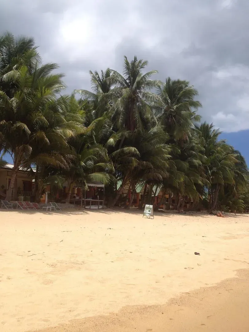
“Maenam Viewpoint” is not one place — it’s a name search engines and travel sites have quietly attached to two completely different spots on Koh Samui, and untangling them matters before you set out.
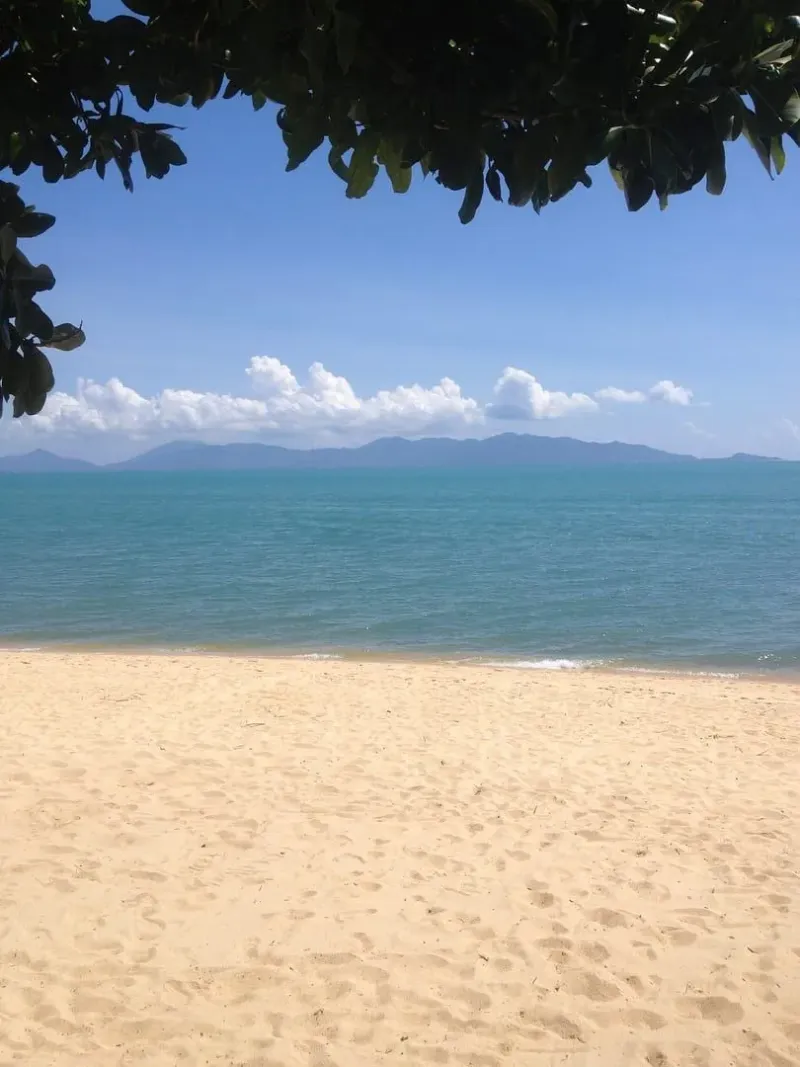
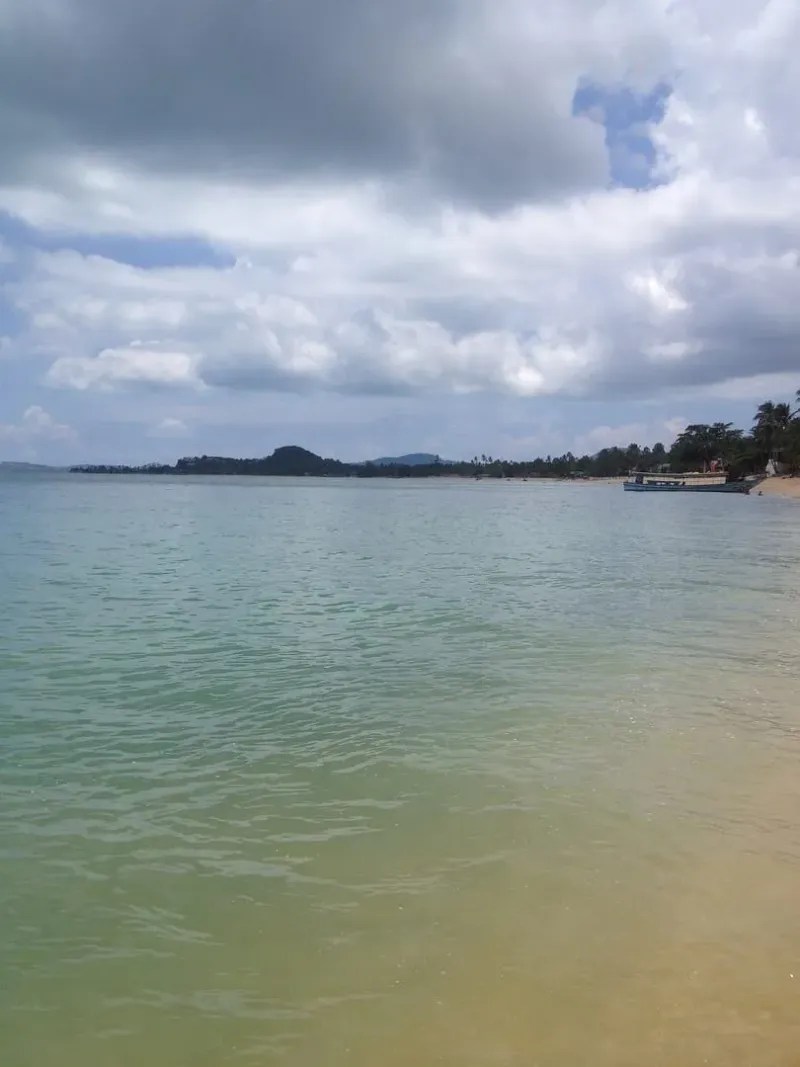
The place this article describes is a coastal gazebo at sea level, perched on a low cliff where Maenam Beach ends and the shoreline turns toward Bang Po. It’s a few minutes’ walk from the beach road, needs no fitness, and looks out across the water toward Koh Phangan.
The other “Maenam Viewpoint” is a genuinely different location: a ridge-top lookout roughly 375-420 metres above sea level, reached by a dirt-track hike starting near Soi 5 in Maenam and climbing into the hills above Nathon, the island’s west-coast port town. It looks inland and west, over Nathon’s rooftops and Samui’s mountainous interior — nothing like the sea-level gazebo, and nowhere near it.
The confusion is easy to trace. English-language aggregators — Holidify, Omeeyo, and mindtrip among them — publish listings titled “Mae Nam Viewpoint” that describe the ridge hike (views “overlooking Nathon” and “the mountains of Samui,” a climb best done on foot or by scooter) while offering none of the detail that would let a reader realize this isn’t the beachside gazebo. Thai social media, meanwhile, tags the coastal gazebo with hashtags like #จุดชมวิวแม่น้ำ and #maenamviewpoint — the exact English phrase the aggregators use for the other place. Two real locations, one shared label, and no aggregator flags the overlap.
The practical information conflicts too: Holidify lists an entry fee of 50 THB (~1.50 USD) for “Mae Nam Viewpoint,” while every account of the coastal gazebo — Thai social posts and English blog coverage alike — describes it as free and unstaffed. That mismatch alone is a sign the two places have been merged into one listing somewhere upstream. If you’re planning a short beach-side stop, you want the gazebo below; if you’re after a half-day hike with inland views, see The Other Maenam Viewpoint further down this page.
The Thai Name and the Chedi
Thai-language sources don’t actually call the coastal gazebo “Sea View Gazebo” — that’s the English label OpenStreetMap volunteers gave the mapped point. Locally, the lookout is จุดชมวิวหน้าพระลาน (the Na Phra Lan viewpoint), sitting on a small headland Thai posts name แหลมหน้าพระลาน (Na Phra Lan Cape). The structure on top isn’t a generic pagoda but a chedi — a Buddhist stupa — named เจดีย์ขรัวพุฒสรณ์, a memorial associated with a respected local monk referred to by the honorific “ขรัว” (used for a senior or elderly monk). Neither the chedi’s construction date nor a detailed history has turned up in the sources checked for this page, so treat it as a small, locally maintained shrine rather than a documented historic monument.
The cape takes its name from Wat Na Phra Lan, the temple that anchors the neighborhood inland of the viewpoint, in Moo 4, Maenam subdistrict, roughly 550 m north off Route 4169. Thai directions shared on social media route visitors in through the temple grounds rather than along the beach road — a detail worth knowing if a map app tries to send you the long way around.
Getting to the Gazebo — Behind Black Rose
The most consistent directions — repeated across Thai TikTok and Facebook posts as well as English blog coverage — start at Wat Na Phra Lan: turn in off Route 4169 near the temple, take the left at the crossroads, continue straight past a muay thai boxing camp, and keep going until the road ends at the sea. A bar sits right at the end of the road — this is Black Rose Bar/Café — and the stairs up to the viewpoint start immediately behind it.
Black Rose has its own parking, and the beach road offers additional space nearby. From the car park it’s a short, unhurried climb — a single flight of concrete steps rather than a trail — to the gazebo and chedi on top. No fitness beyond a short staircase is required, and the whole stop, climb included, tends to run about 20 minutes.
Because the approach cuts through Black Rose’s own grounds, it’s worth treating the bar as part of the visit rather than an obstacle: it was serving happy-hour cocktails at 90 THB (~2.50 USD) as of June 2023, according to a blog account of the same stairs — pricing this old should be confirmed on arrival rather than relied on.
The View, Direction by Direction
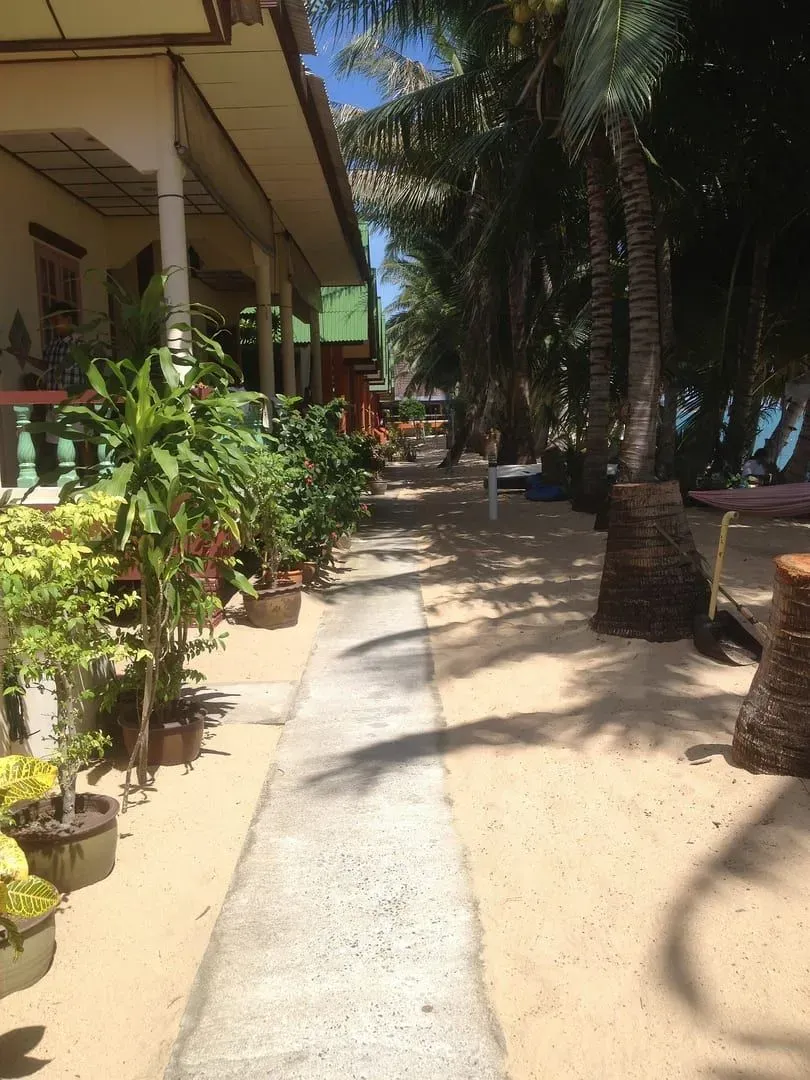
Thai visitors posting from the gazebo describe a genuine 180-degree sweep from the headland, and the layout of the coastline supports that claim, though it hasn’t been independently measured for this page.
- North to north-northwest — across the open strait toward Koh Phangan, roughly 15 km away. This is the view the “180-degree” claims mostly refer to, and on a clear day the island’s outline runs across a wide arc of the horizon.
- East — back along the curve of Maenam Beach toward Bophut, the direction the sunrise climbs from. This is also the direction most of Maenam’s beachfront resorts and restaurants sit.
- West and southwest — along the coastline toward Bang Po Beach and, further on, Nathon. The headland’s westward face is what makes the spot workable for evening light as well as morning.
- South — inland, toward Wat Na Phra Lan and the coast road. There’s no sea view in this direction; it’s the approach you climbed up from.
None of the sources for this page describe a 360-degree panorama, and the gazebo’s structure — a roofed shelter rather than an open platform — likely blocks some of the arc directly behind it. Treat the “180 degrees” figure as the honest description of an open sea view across roughly half the compass, not an unobstructed circle.
Sunrise or Sunset?
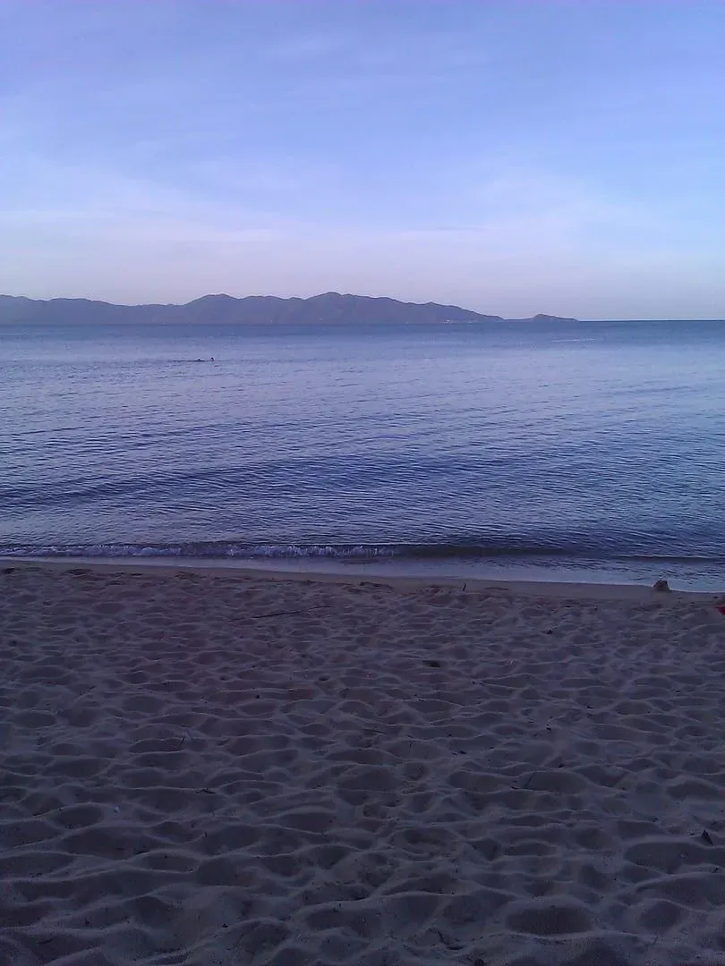
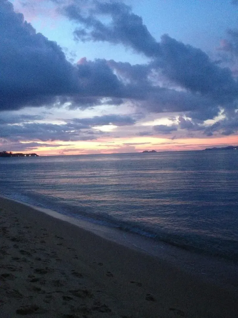
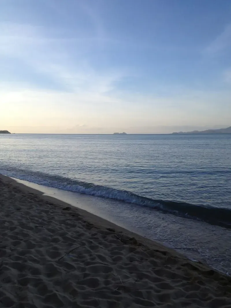
Sources genuinely disagree here, which is itself useful information: this is one of the few Samui viewpoints described as working for both. Because the gazebo faces the beach curving away to the east, several accounts describe it as a sunrise spot, with the sun climbing over Maenam Beach and the water lighting up in front of the platform. An English blog covering the same stairs behind Black Rose, published 25 June 2023, instead frames it as a sunset spot, describing “breathtaking panoramic views” on clear evenings.
Both are plausible from the same structure: a headland facing open water to the north, with beach curving east and coastline running west, can catch color at both ends of the day depending on where you’re looking from the platform. If you only have time for one visit, sunrise has the advantage of near-empty stairs and a cooler climb; sunset means golden light over the strait toward Koh Phangan but a warmer walk up.
The Other Maenam Viewpoint — the Ridge Trek Above Nathon
If what you actually want is the hike described by Holidify, Omeeyo, mindtrip, and the trekking operator Hiking on Samui — not the coastal gazebo — here’s what’s actually known about it, and what isn’t.
The ridge viewpoint sits above Nathon, Samui’s west-coast port town, at a starting elevation reported as roughly 375 m by the trekking operator and roughly 420 m by other trail coverage — the discrepancy suggests different sources are marking slightly different points along the same ridge rather than two more locations. The trailhead is usually given as Soi 5 in Maenam, from which a dirt track climbs about 100 m in height through coconut plantations and forest, following the mountain rim. The full round trip runs 1-2 hours and is rated “fairly easy,” though a longer, harder continuation exists for hikers who want to keep going.
The payoff is a view in the opposite direction from the coastal gazebo: west and northwest over Nathon and the string of islands off Samui’s west coast, with Samui’s own interior mountains framing the other side. On a very clear day the Surat Thani mainland is reportedly visible. None of this overlaps with what you’d see from the beach-level gazebo, which faces north toward Koh Phangan instead.
No source consulted for this page publishes a GPS coordinate for this ridge viewpoint — not the trekking operators, not the aggregators repeating their description. This site’s own long-distance trail guide, the Maenam to Magic Garden Traverse, starts from the same general ridge area and describes a comparable ~420 m starting elevation, but that page is about the multi-hour traverse to the Secret Buddha Garden, not a standalone visit to this viewpoint. Treat “near Soi 5, above Nathon, roughly 375-420 m” as the best available description of the ridge trek’s location — not a fixed point you can drop a pin on. No photograph of this ridge viewpoint is published, and none of the coastal gazebo’s own photos — all taken at sea level — can honestly stand in for it.
Best Time to Visit
| Season | Months | Conditions | Rating |
|---|---|---|---|
| Cool/dry | Dec-Feb | Clearest air, best odds of seeing Koh Phangan sharply | ★★★★★ |
| Hot/dry | Mar-May | Clear but often hazy by midday; early or late is better | ★★★★ |
| Early monsoon | Jun-Sep | Scattered showers; the stairs can be slick after rain | ★★★ |
| Peak monsoon | Oct-Nov | Rain and haze more likely to blank out the strait view | ★★ |
Time of day: shortly after sunrise for a quiet climb and the sun over Maenam Beach, or the late-afternoon to early-evening window for warmer light over the water toward Koh Phangan. Because the gazebo has a roof, midday sun is less punishing here than at an open platform, but the stairs themselves are unshaded.
Practical Tips
- Park at Black Rose Bar/Café or along the beach road nearby — there’s no dedicated viewpoint car park.
- Wear shoes with some grip. The steps are concrete, not a dirt trail, but they’re outdoors and can be damp or slick right after rain.
- Bring cash if you plan to stop at Black Rose on the way up or down — a shoreline bar, not a card-only venue.
- Don’t confuse this with the Nathon ridge hike. If a map, review, or listing mentions a long walk, a scooter ride up a mountain, or views over Nathon, it’s describing the other “Maenam Viewpoint” — see the section above.
- No facilities at the gazebo itself beyond the shelter and chedi — treat it as a short stop, not a destination with amenities.
- Combine it with a Maenam Beach walk. The viewpoint sits right at the beach’s western end, so it pairs naturally with time on the sand rather than requiring a separate trip.
Nearby Attractions
- Maenam Beach — the 5 km stretch of sand the viewpoint overlooks the western end of; directly below the stairs.
- Maenam area guide — for where to eat, stay, and spend a longer visit to the neighborhood around the viewpoint.
- Wat Na Phra Lan — the temple that gives the headland and the viewpoint their Thai name, roughly 550 m inland off Route 4169.
- Maenam to Magic Garden Traverse — Koh Samui’s long ridge hike, which starts from the general area of the other “Maenam Viewpoint” above Nathon, not this coastal gazebo.
- 10 Best Viewpoints in Koh Samui — for how this spot compares with the island’s other free and paid lookouts.
Who Is Maenam Viewpoint Best For?
| Traveler Type | Fit | Why |
|---|---|---|
| Beach walkers already at Maenam | ★★★★★ | A 20-minute add-on to a beach visit, right at the western end |
| Sunrise or sunset photographers | ★★★★ | Faces open water toward Koh Phangan; works at both ends of the day |
| Families | ★★★★ | Short, low climb, no technical terrain — just a flight of steps |
| Hikers seeking the Nathon ridge trek | ★ | Wrong place — see The Other Maenam Viewpoint instead |
| Travelers with very limited time | ★★★ | Worth it only if already near Maenam Beach; not a destination in its own right |
FAQ
Is Maenam Viewpoint free to visit?
Yes. The coastal gazebo at Maenam Beach’s west end has no gate, ticket booth, or entry fee — it’s an open shrine and lookout reached by public stairs behind Black Rose Bar/Café. Some aggregators list a fee for a listing with the same name, but that figure describes the separate ridge hike above Nathon, not this site.
Where exactly is Maenam Viewpoint?
The coastal gazebo sits at roughly 9.5712, 99.9975 — a low headland at the western end of Maenam Beach, on Koh Samui’s north coast, a short walk west of the Lomprayah pier. It’s reached via stairs directly behind Black Rose Bar/Café.
Why do some sites describe Maenam Viewpoint as a long hike?
Because “Maenam Viewpoint” also names a completely different place: a ridge-top lookout roughly 375-420 m above Nathon, reached by a dirt-track hike from Soi 5 in Maenam. English aggregators describe that hike under the same name used for this coastal gazebo, without distinguishing the two.
Is Maenam Viewpoint good for sunrise or sunset?
Both are reported. The gazebo faces the beach curving east, which favors sunrise, while its northward and westward views toward Koh Phangan and Bang Po also work for evening light. Unlike most Samui viewpoints, which favor one or the other, sources here are genuinely split.
How do I get to Maenam Viewpoint?
Head to Black Rose Bar/Café at the west end of Maenam Beach, past Wat Na Phra Lan off Route 4169. Park at the bar or along the beach road, then take the short flight of concrete stairs directly behind it up to the gazebo and chedi.
Can I see Koh Phangan from Maenam Viewpoint?
Yes — the gazebo faces roughly north across the strait, and Koh Phangan, about 15 km away, is the main feature of that view on a clear day. Visibility drops in haze or during the wetter months of the monsoon season.
Published on
About the author

Migues Ferfumoz
Writer, Koh Samui resident since 2019
Freelance writer and Koh Samui resident since 2019. Migues covers local culture, food, and the best off-the-beaten-path destinations on the island.
Articles by Migues →More in Viewpoints
1.9 km away
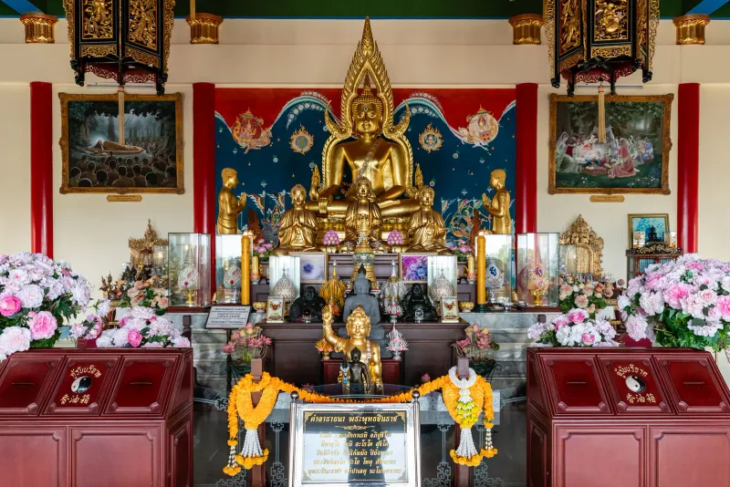
Wat Na Phra Lan — A Royal Spiritual Haven in Maenam
Discover Wat Na Phra Lan in Maenam, Koh Samui.
2.1 km away
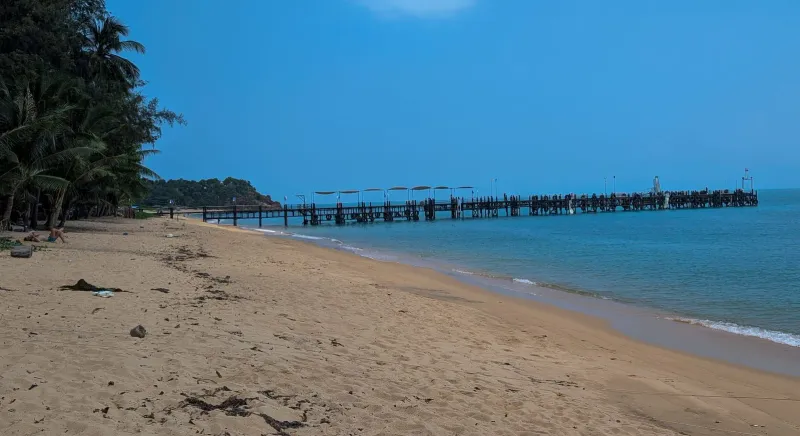
Na Phra Lan Beach — Koh Samui's Quietest Local Shoreline
Na Phra Lan Beach is a small, local stretch of sand on Koh Samui's northwest coast near Wat Na Phra Lan and Maenam, with calm water and m…
Next in Viewpoints
Giant Summit — Koh Samui's Ridge-Road Sunset Viewpoint
Giant Summit is a hillside restaurant on the Wat Khunaram ridge road, its terrace facing southwest over Taling Ngam and the Gulf of Thail…