Contents
Overview
The Old Lighthouse, Laem Yai, is the least documented entry on Koh Samui’s list of viewpoints — not because it lacks a view, but because almost nobody has written down what happens on the way to it. It sits on the headland at the island’s northwest tip, above the cove that fronts Laem Yai Beach and the Four Seasons resort, and it exists on the public map only through two OpenStreetMap nodes placed by a single contributor: one marking the lighthouse itself, the other marking what that contributor called a “hidden jungle entrance” to it. Both nodes are tagged as viewpoints. Neither comes with a trail, a sign, or a maintained path.
This is not a page about a landmark tour operators send minivans to. It is a page about a place that exists on a map layer most visitors never open, described by one set of tags, corroborated by no dated trip report, no maintained review, and no rescue-service caution notice — because nobody official has assessed it either way. That gap is the subject of this article as much as the lighthouse is.
Key facts: Northwest tip of Koh Samui · disused lighthouse at ~28 m elevation · reached (per one OSM contributor) via an overgrown jungle path · no fee · no published condition report for the path · sea and sunset views cited by the same source
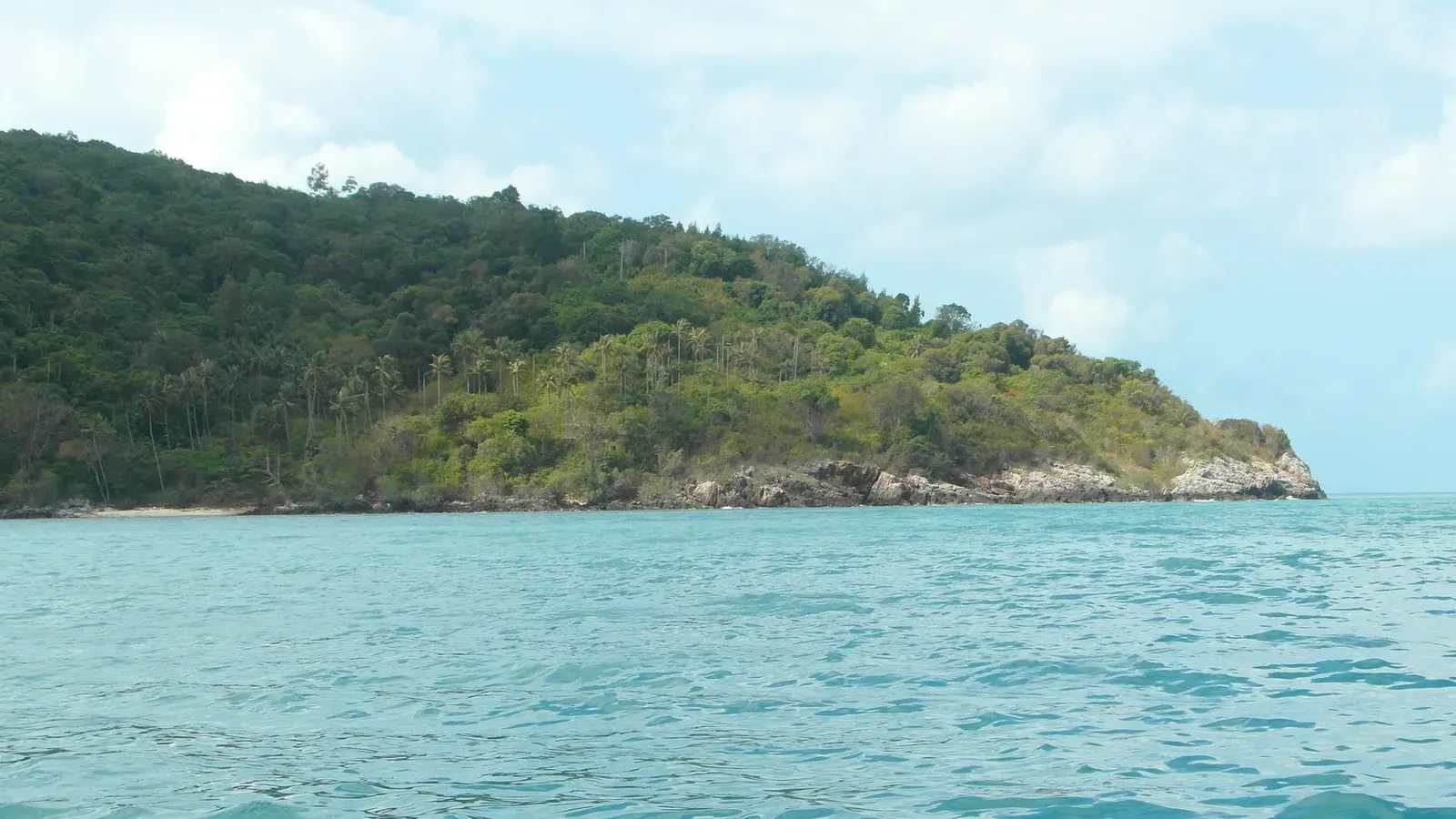
Two Points on a Map — What the Lighthouse and Its Entrance Are
Everything published about this place traces back to two OpenStreetMap (OSM) nodes, both created by the same mapper in the same editing session roughly six years ago:
| Node | OSM ID | Coordinates | Tag |
|---|---|---|---|
| The lighthouse | 7695280686 | 9.5701, 99.9130 | tourism=viewpoint, name “Old Lighthouse (careful!)” |
| The entrance | 7695301885 | 9.5706, 99.9141 | tourism=viewpoint, name “Hidden jungle entrance to lighthouse” |
The two points sit roughly 130 m apart in a straight line — the entrance node a little further north and east, closer to the headland road, and the lighthouse node closer to the water. Both are tagged tourism=viewpoint rather than man_made=lighthouse, which suggests the mapper was recording what you can see from each spot rather than cataloguing the structure itself. The elevation on record for the lighthouse point, from SRTM data, is around 28 m — a low headland rise, not a summit.
What the naming tells you matters more than the coordinates. “(careful!)” is not the kind of note a mapper adds to a paved lookout with a railing. “Hidden jungle entrance” is not the language used for a signed trailhead. Both names describe an access point that the person who logged it considered indistinct enough to need marking, and risky enough to flag. That is the entirety of the public record.
Getting to the Headland
The lighthouse sits on the same promontory — locally, Khao Laem Yai — that separates Laem Yai Beach on its southwest side from the Bang Po side of the coast to the northeast. The headland road that climbs over this point is the same stretch bypassed by most ring-road traffic, which is part of why the water below has stayed clear and the hillside has stayed forested rather than developed.
In straight-line terms, the lighthouse node sits roughly 0.8 km up the headland from Laem Yai Beach, and roughly 4 km from Bang Po Beach on the other side. Those are map distances between coordinates, not walking or driving distances along an actual route — no source describes the road distance, driving time, or where along the headland road a vehicle should be left. Thai social-media coverage of this stretch (see the Thong Phlu section below) refers to it only as “the descent off Khao Laem Yai on the Bang Po side,” which confirms the headland has at least one informal access point on that side, without giving turn-by-turn detail.
This article does not attempt to supply the missing route. Publishing a step-by-step description of how to reach an unmarked, unmaintained jungle entrance — sourced from nothing but two map tags — would misrepresent one contributor’s placemark as a vetted trail. It isn’t one.
The Jungle Path — What Is and Isn’t Known
Here is the complete list of what has been published about the path between the headland road and the lighthouse: it exists, it is entered through what its mapper called a “hidden jungle entrance,” and the same mapper flagged the lighthouse end with “(careful!).” That’s it.
What has not been published, by anyone, at any date:
- A trip report or blog post describing the walk in from either end
- A photograph of the path itself, the lighthouse structure, or the view from it
- A condition assessment — whether the path is currently passable, overgrown to the point of being impassable, or has been affected by erosion, fallen trees, or development on the headland since 2020
- Any distance or time estimate for the walk
- Any safety notice, closure notice, or rescue-service caution specific to this spot
The honest description is unassessed, not closed and not safe. Those are different claims, and treating an absence of information as either one would be a guess dressed up as a fact. A jungle path on a low tropical headland that has gone six years without a single published update could be lightly used and simply unremarkable — or it could have grown over to the point of being unrecognizable. Nothing currently public distinguishes between those outcomes.
The View — What the Horizon Actually Covers
Because no photograph of the view from the Old Lighthouse has been published, this section works from what the mapper’s own tags claim, cross-checked against the geography of the headland — not from a first-hand description of standing there.
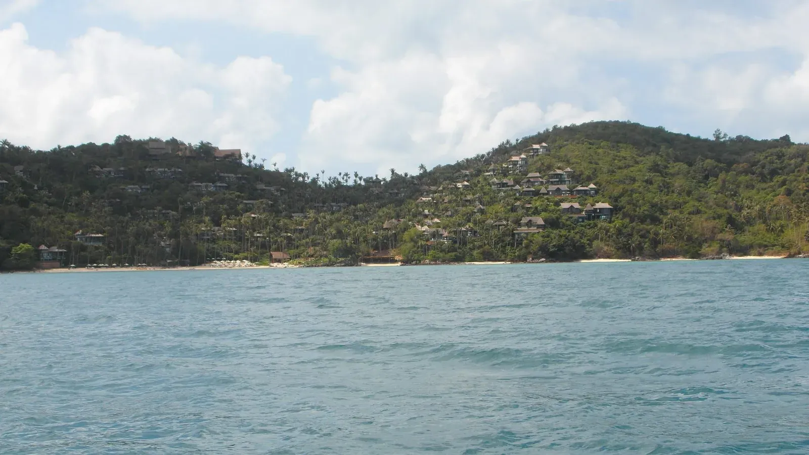
West to northwest, across open water, is the direction the whole headland faces, and it’s the same direction Laem Yai Beach’s own coverage describes as looking toward the limestone islands of Ang Thong Marine Park, roughly ~28 km offshore. A viewpoint sitting higher on the same headland, at roughly the same bearing, would reasonably see the same silhouette on a clear day — but no source confirms the outline is actually unobstructed from the lighthouse’s exact position, since tree cover on an overgrown site can block a sea-level sightline that a beach fifty meters away doesn’t have to deal with.
North and northeast, the coast curls back past the Bang Po side of the headland toward Bang Po and Maenam beaches, following the same shoreline visible from lower down at Thong Phlu Beach.
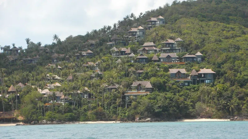
South, back down the headland, is Laem Yai Bay itself — the cove, the Four Seasons villas terraced into the opposite hillside, and the narrow strip of sand the beach is known for.
East, inland, is the headland’s own jungle-covered rise — the same cover that makes the entrance “hidden” in the first place. There is no source suggesting a clearing that would open an eastward or landward view.
No account, dated or otherwise, describes a 360-degree panorama from this spot, and this article makes no such claim. What’s documented is a sea-facing lookout on a jungle headland with Ang Thong somewhere in its western arc — a modest, plausible view rather than a spectacular confirmed one.
Sunset Off the Northwest Tip
The one experiential claim attached to this location — “sea and sunset views,” in the shorthand used to describe it — lines up with the geometry. A west-to-northwest-facing point on Samui’s own northwest tip has the sun setting into the sea in front of it rather than behind an inland ridge, which is the same reason Laem Yai Beach below is already known as one of the better sunset spots on this coast.
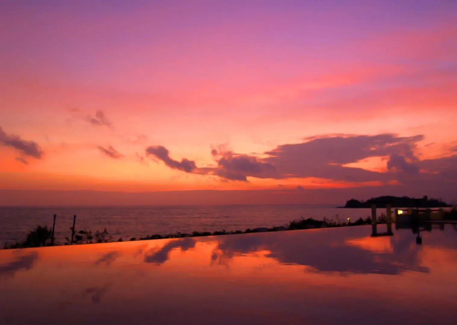
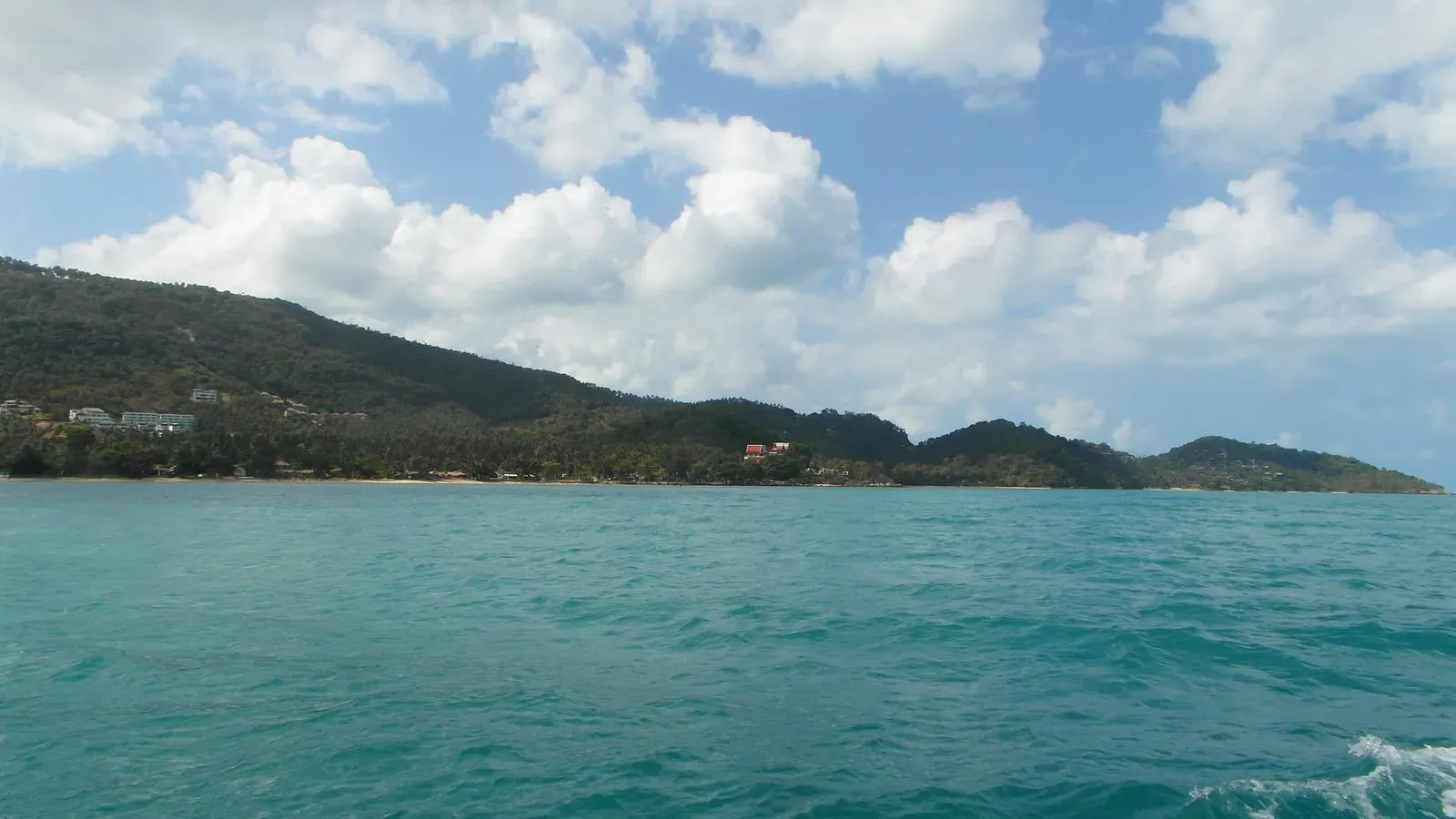
That’s a reasonable inference from direction and position, not a description anyone has published from actually standing at the lighthouse at sunset. No source records what the tree line does to the sightline at low sun angle, whether the jungle canopy narrows the visible arc of sky, or how the view compares to simply walking down to Laem Yai Beach itself for the same sunset with a confirmed, open, at-grade sightline and none of the path’s uncertainty.
Thong Phlu Beach — The Headland’s Better-Known Feature
If you search for this headland in Thai rather than English, you find a different place: หาดท้องพลู, Thong Phlu Beach, a small and lightly visited beach below Khao Laem Yai reached by a descent on the Bang Po side of the headland. Thai social media covers Thong Phlu the way English-language sources cover the lighthouse — as a quiet, off-the-radar spot rather than a developed attraction — but the coverage is for the beach, not for the lighthouse or its path.
This matters for two reasons. First, it confirms the headland has a real, independently reported access route on its Bang Po side — the descent that reaches Thong Phlu — which is useful context even though it says nothing about the separate jungle entrance to the lighthouse further up the same hill. Second, it’s a reminder that most of what gets written about Khao Laem Yai is about what’s at sea level, not about the disused structure above it. If your goal is a confirmed, free, lightly visited beach on this headland, Thong Phlu — reached via its own documented descent — is the better-supported target. If your goal is specifically the lighthouse, you are choosing the less-documented of the headland’s two draws.
Surface, Elevation and Whether a Scooter Gets You There
No source describes the surface underfoot on the path between the entrance node and the lighthouse — whether it’s packed earth, loose rock, root-strewn jungle floor, or something else. “Overgrown” is the operative word from the only description available, which implies vegetation encroachment rather than a maintained dirt or gravel trail, but that’s an inference from one word, not a verified trail report.
A scooter can plausibly reach the headland road itself — it’s a paved route that vehicles already use to cross between the Laem Yai and Bang Po sides — but nothing published describes parking near the “hidden jungle entrance” specifically, and an overgrown path by definition is not one a scooter continues on. Treat the headland road as scooter-accessible and the jungle path beyond it as walking-only, unverified terrain.
The elevation gain involved is modest on paper: the lighthouse node sits at roughly 28 m, which is a low coastal rise rather than a hilltop climb. That figure describes the destination’s height above sea level, not the terrain difficulty of getting there, which remains unassessed.
Two public elevation models disagree about this exact point, and it’s worth stating plainly rather than smoothing over. The 28 m figure above is SRTM data. This site’s own viewpoints index prints a different number for the same coordinates — about 40 m — because that page is built from a Copernicus DEM sample: a reading taken at these coordinates from a terrarium-encoded terrain tileset at zoom 12 (roughly 18.85 m per pixel), with no observer height added. Neither the 28 m nor the 40 m figure has been checked on the ground. That 12 m gap is why the two pages show different numbers for the same pin — not an error on either one — and it doesn’t change the point above: whichever figure you use, it describes the destination’s height, not the difficulty of the unassessed path to it.
Fee and Hours
There is no fee associated with this location in any source — not the OSM tagging, which carries no admission or access-restriction note, and not the Thai social-media coverage of the beach below, which explicitly describes Thong Phlu as free. No opening hours are published either, which is consistent with an unmanaged, unmaintained site rather than an oversight: there is no gate, ticket booth, or managing authority on record to set hours in the first place.
Free access to an unmanaged jungle viewpoint is not the same guarantee as free access to a managed park outside its posted hours — there’s simply nobody publishing a schedule because there’s nobody running the site.
Best Time to Consider a Visit
Because no dated trip report exists, there’s no seasonal guidance specific to this path — no account of how it holds up in the wet season, whether monsoon rain (roughly June through November on this coast) speeds up overgrowth, or whether the entrance is easier to find in the dry months when vegetation is less dense. What can be said generally about Samui’s northwest coast applies here by extension, not by direct confirmation: the cool, dry months from December to February bring the clearest skies and the least overgrown undergrowth island-wide, and the wettest months make any unmaintained jungle path harder to follow and more slippery underfoot.
Anyone weighing a visit should treat that as a general seasonal pattern for the island, not as a verified statement about this specific trail’s condition in any given month.
Who Should Skip This
This viewpoint is not for most visitors, and saying so plainly is more useful than pretending otherwise:
- Anyone without local, current knowledge of the path. There is no maintained trail, no waymarking, and no way to verify from a screen whether the route is passable this month.
- Families with young children. An unassessed jungle path with a mapper’s own “(careful!)” flag is not a reasonable place to bring kids.
- Solo hikers with no local contact. If the path is in poor condition, there is no signage, no rescue infrastructure, and no one expecting you back.
- Anyone chasing a guaranteed sunset photo. Laem Yai Beach and Thong Phlu Beach both offer confirmed, open, at-grade sea views on this same headland with none of the access uncertainty.
- Casual tourists on a tight schedule. With no distance, time, or difficulty estimate available, there’s no way to budget the visit reliably.
The people this location suits are experienced, self-sufficient hikers who understand they are investigating an undocumented site rather than following a known trail, who are comfortable turning back if the path proves impassable, and who are visiting for the exploration itself rather than for a guaranteed payoff.
Nowhere in this list is trespassing an option. Both OSM nodes sit on what the tags describe as a natural jungle headland rather than posted private land, but that is not a substitute for checking conditions on the ground and turning back at any fence, warning sign, or resort boundary you actually encounter.
Nearby
The Old Lighthouse shares its headland and its general area with several better-documented stops:
- Laem Yai Beach — the ~200 m cove directly below the headland’s southwest side, with confirmed, open sunset views toward Ang Thong and none of the lighthouse path’s uncertainty.
- Bang Po Beach — on the headland’s northeast side, the beach the “hidden jungle entrance” node sits closest to.
- 10 Best Viewpoints in Koh Samui — the island-wide roundup this page sits alongside, for comparing this unassessed spot against Samui’s confirmed, maintained lookouts.
- Laem Yai Viewpoint — a separate, better-described lookout on the same headland, covered on its own page.
Practical Notes and Safety
- Nobody has confirmed this path is currently open. Absence of a closure notice is not the same as confirmation it’s passable.
- Tell someone your plan. If you do attempt it, an unmarked jungle path with a mapper’s own caution flag is not the place to go without anyone knowing your route or expected return time.
- Turn back at the first sign of a dead end, dense overgrowth, or unclear footing. There is no marked alternative route and no signage to reorient you.
- Carry water and wear closed shoes. Basic jungle-walking precautions apply to any unmaintained tropical path, regardless of length.
- Don’t rely on GPS coordinates alone. A pin at 9.5701, 99.9130 tells you where the lighthouse is, not how to walk there safely from the road.
- Respect any boundary you meet. If the path crosses onto posted or developed land, stop — this article does not endorse trespassing to reach an undocumented viewpoint.
FAQ
Is the Old Lighthouse at Laem Yai open to visitors?
There’s no managing authority, so there’s nothing to formally open or close. The site is reachable, in principle, via an unmarked jungle path that nobody has published a current condition report for. Treat it as unassessed rather than confirmed open or closed.
Is there an entrance fee?
No fee is mentioned in any source covering this location or the headland around it, including the Thai social-media coverage of Thong Phlu Beach on the same hill. There is no ticket booth or managing body on record to charge one.
How do I find the path to the lighthouse?
This article does not provide turn-by-turn directions, because none exist in any published source. What’s known is two OSM coordinates — 9.5701, 99.9130 for the lighthouse, 9.5706, 99.9141 for a “hidden jungle entrance” roughly 130 m away — and a mapper’s own warning to be careful. Anyone attempting it should treat that as a starting point for investigation, not a route.
Can you actually see Ang Thong Marine Park from here?
Geometrically, plausibly — the headland faces the same west-to-northwest direction that Laem Yai Beach’s confirmed Ang Thong view faces. But no dated, first-hand account confirms the sightline from the lighthouse’s exact, overgrown position is actually clear of trees. Laem Yai Beach itself, a short distance below, is the confirmed alternative for the same view.
Is this the same as “Laem Yai Viewpoint”?
No — they’re different points on the same headland. This page covers the OSM-tagged Old Lighthouse and its unmarked jungle path; the separate Laem Yai Viewpoint page covers a different, better-described lookout nearby.
Should I attempt this hike?
Only if you’re an experienced, self-sufficient hiker comfortable investigating an undocumented site and turning back if it proves impassable. Families, solo visitors without a local contact, and anyone wanting a guaranteed view or a scheduled visit are better served by Laem Yai Beach or Thong Phlu Beach on the same headland, both of which have real, confirmed access.
Published on
About the author

Migues Ferfumoz
Writer, Koh Samui resident since 2019
Freelance writer and Koh Samui resident since 2019. Migues covers local culture, food, and the best off-the-beaten-path destinations on the island.
Articles by Migues →More in Viewpoints
4.3 km away
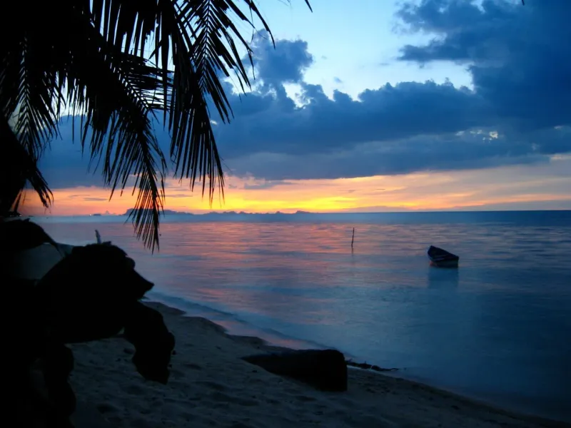
Bang Po Beach — Koh Samui's Quiet Northwest Shoreline
Bang Po Beach on Koh Samui's northwest coast: ~3 km of calm sand, Thai seafood shacks, high-tide reef snorkeling, and sunset views across…
4.4 km away
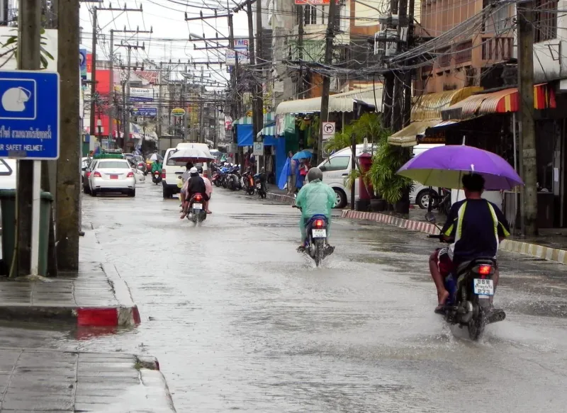
Nathon Beach — Koh Samui's Port Town and Sunset Shopping Strip
Explore Nathon Beach on Koh Samui's west coast — the island's ferry port, old Chinese shophouses, Saturday walking street, and the best s…
Next in Viewpoints
Jungle Club — Koh Samui's Hilltop Terrace Above Chaweng Bay
Jungle Club is a hilltop restaurant and viewpoint above Chaweng Noi, Koh Samui, reached by a ~2 km switchback road, with suspended terrac…