Contents
Which Coast Is Calm When?
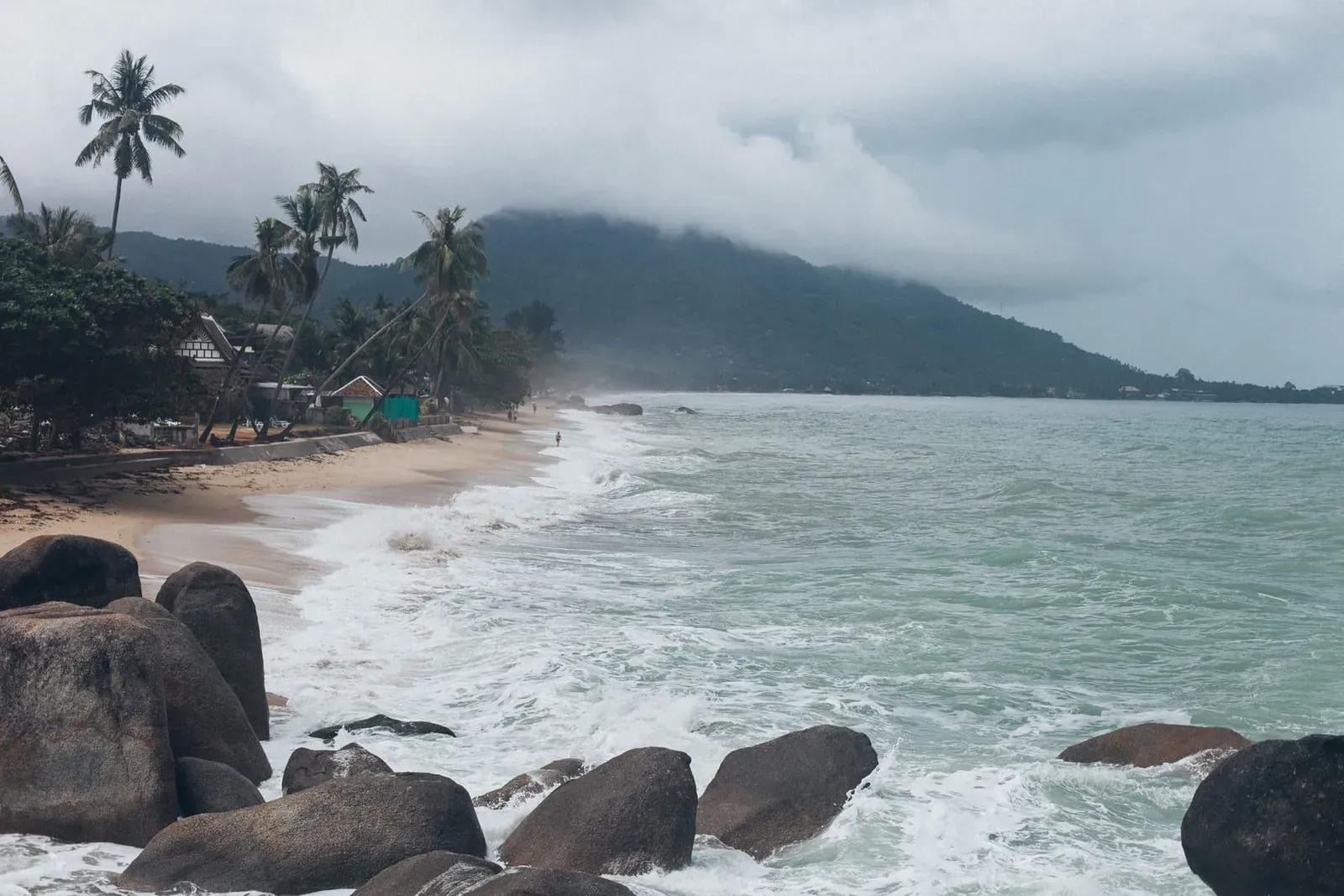
Koh Samui’s north coast (Maenam, Bophut, Bang Po) stays calm nearly year-round, while the east coast (Chaweng, Lamai) turns rough from October to November under the northeast monsoon, and the west coast (Lipa Noi, Taling Ngam) picks up afternoon chop from May to September under the southwest monsoon. There is no single “best coast” — it depends on the month. Visiting October to January, base yourself north; visiting May to September, the east coast is usually the calmer swim.
Key takeaways
- North coast (Maenam, Bophut, Bang Po): calm 9 months of 12, choppy only Oct-Dec
- East coast (Chaweng, Lamai): calmest Feb-Aug, roughest Oct-Nov, red flags most likely then
- South and west coasts pick up chop through the SW monsoon (May-Sep) and turn rough Oct-Nov
- Sea temperature never drops below ~28°C — cold is never the reason to skip a swim
- No public wave-height buoy record exists for Koh Samui; this page reflects the island’s own beach-by-beach seasonal notes plus published climate sources, not instrument readings
Koh Samui Sea Conditions by Coast and Month
The table below rates each coast calm / choppy / rough for every month, built from this site’s own beach-by-beach “Best Time to Visit” notes for Chaweng, Lamai, Maenam, Bophut, Lipa Noi and Bang Kao, cross-checked against Wikivoyage’s Koh Samui guide and climatestotravel.com. No Thai Meteorological Department wave-height station exists for Koh Samui specifically, so treat “rough” as “expect visible whitecaps and a stronger shore break,” not a measured metre figure.
| Coast | Jan | Feb | Mar | Apr | May | Jun | Jul | Aug | Sep | Oct | Nov | Dec |
|---|---|---|---|---|---|---|---|---|---|---|---|---|
| North (Maenam, Bophut, Bang Po) | Calm | Calm | Calm | Calm | Calm | Calm | Calm | Calm | Calm | Choppy | Choppy | Choppy |
| East (Chaweng, Lamai) | Choppy | Calm | Calm | Calm | Calm | Calm | Calm | Calm | Choppy | Rough | Rough | Choppy |
| South (Bang Kao, Na Khai, Laem Set) | Calm | Calm | Calm | Calm | Choppy | Choppy | Choppy | Choppy | Choppy | Choppy | Choppy | Calm |
| West (Lipa Noi, Taling Ngam) | Calm | Calm | Calm | Calm | Choppy | Choppy | Choppy | Choppy | Choppy | Rough | Rough | Calm |
Read it by month, not just by coast: in October, the north coast is only “choppy” while the east and west coasts are already “rough” — the clearest reason to pick a north-coast hotel for a shoulder-season trip.
The Northeast Monsoon — October to January
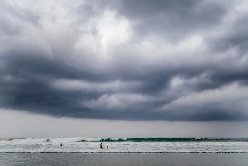
The northeast monsoon is the weather system behind Koh Samui’s roughest sea days, running roughly October through January and hitting the east and north-east-facing coast hardest. Cold, dry air sweeps south over China and Vietnam, picks up moisture crossing the South China Sea, and dumps it on Thailand’s Gulf coast — the opposite pattern to the Andaman side, where Phuket’s rain peaks months earlier. On Koh Samui this shows up as October’s 295 mm and November’s 445 mm of rainfall, the two wettest months of the year per long-run climate normals cross-checked by climatestotravel.com (1991-2020 data, Sep 2026).
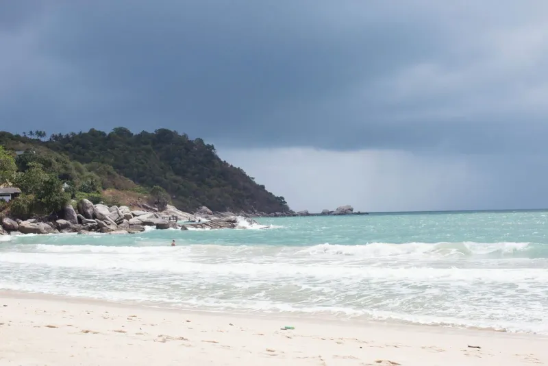
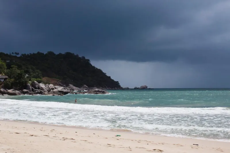
Chaweng Beach and Lamai Beach take the brunt of this swell because they face directly east into open Gulf water. Both beaches’ own seasonal notes describe September-November as bringing “rougher seas” and, at Lamai, “red flags common.” An offshore reef on Chaweng’s quieter southern third shelters a narrow strip of water even during monsoon swell, but the main strip is the most exposed swimming stretch on the island in this window. Choeng Mon Beach, tucked behind offshore islands on the north-east tip, gets some shelter but is still more exposed than the true north coast.
By January the worst swell has usually passed but the sea hasn’t fully settled — expect choppy, not rough, east-coast water, improving through February.
The Southwest Monsoon — May to September
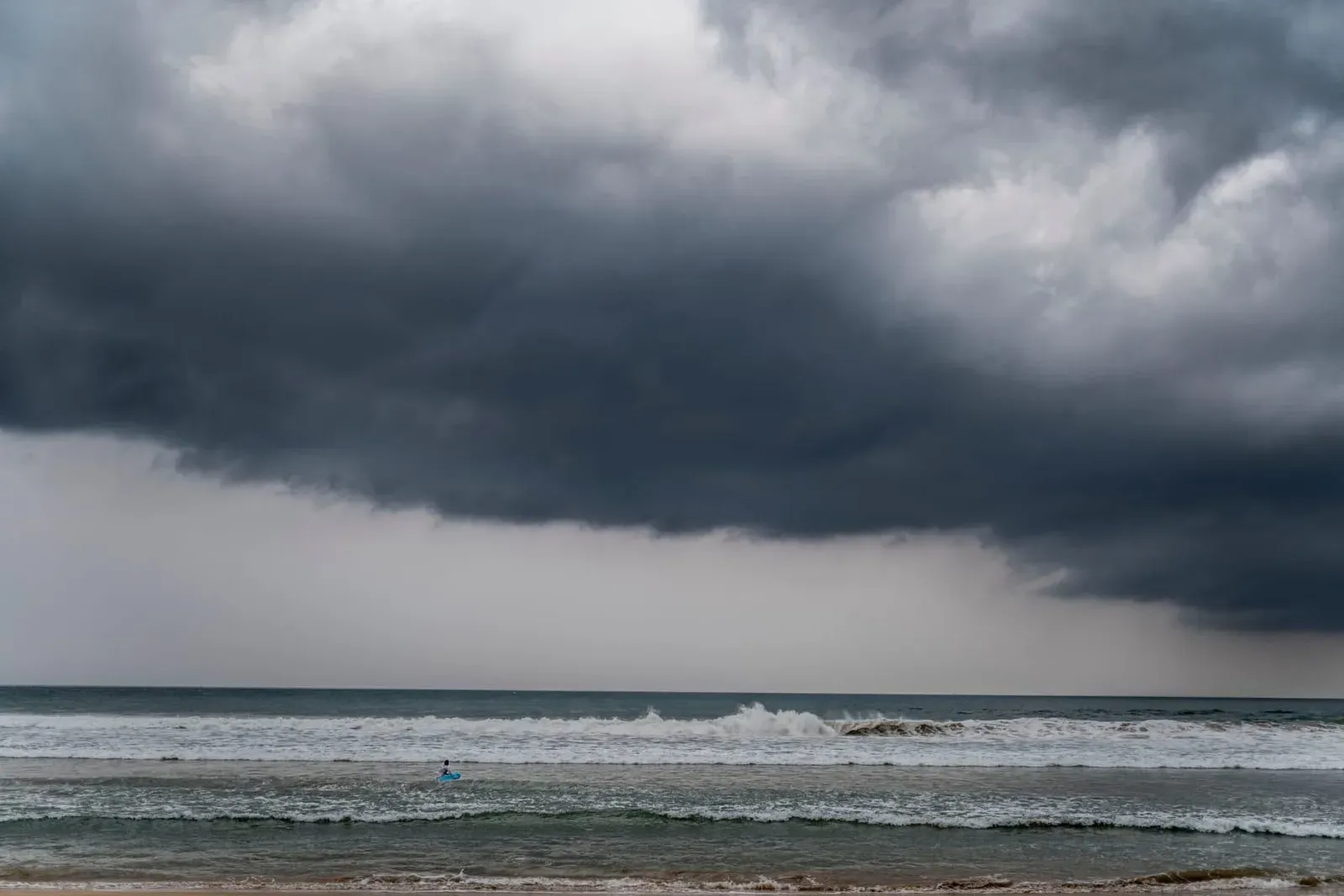
The southwest monsoon runs roughly May through September and is the system that soaks Thailand’s Andaman coast — Phuket, Krabi, Koh Lanta — while leaving Koh Samui’s Gulf-side beaches comparatively dry. Its effect on Samui is mostly wind and chop rather than rain: Lipa Noi Beach, on the west coast, notes “more direct wind and wave action” in this window, though its shallow, gently sloping water moderates the impact — swimmable, just with more afternoon ripple than a flat-calm dry-season day.
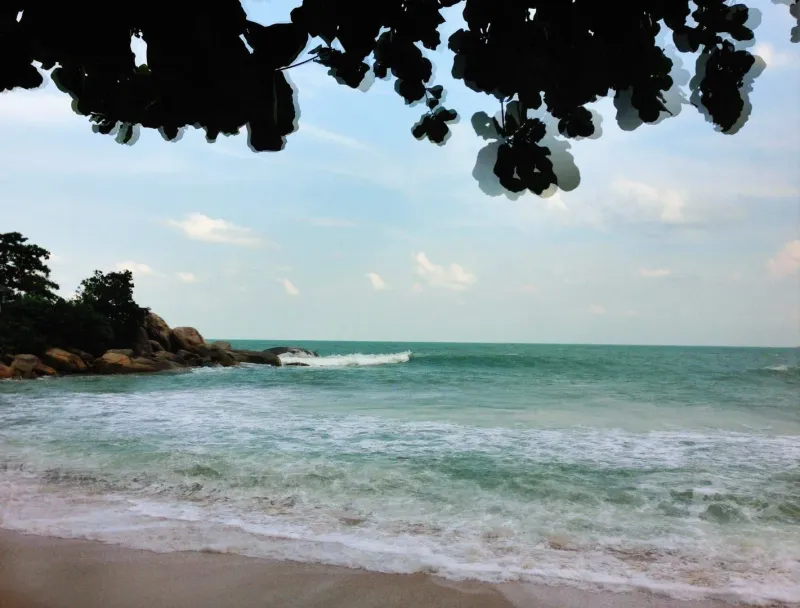
This is also when the east coast is at its best: with the northeast monsoon still months away, Chaweng and Lamai sit calm from roughly February through August, making June-August a genuine best-east-coast stretch — quieter and cheaper than the December-February peak, without the swell that arrives from September.
South-coast beaches like Bang Kao and Na Khai sit in between: Bang Kao’s notes describe May-August as “mixed weather, generally manageable” rather than flat calm. Na Khai, sheltered behind an offshore reef, stays shallow year-round for different reasons but is prized for exactly the cross-shore wind this monsoon brings — one of the island’s two serious kitesurfing beaches.
Tides — The Seasonal Reversal
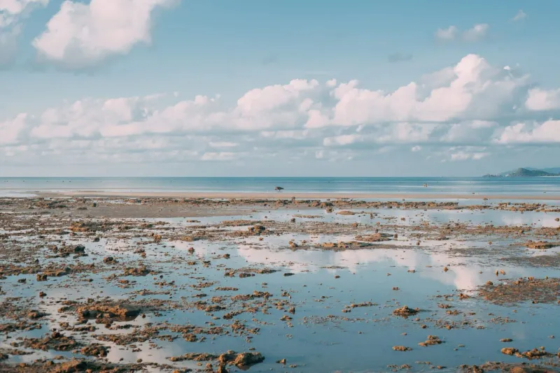
Koh Samui’s tides don’t just rise and fall daily — the pattern of the day flips with the season. According to Wikivoyage’s Koh Samui guide, “during summer the tide is low at daytime and high at night time, while in winter it is always high at daytime.” Practically: expect more exposed sand at midday if you’re visiting in the hot or green season (roughly March-September), and less exposed sand at midday during the December-February dry season.
This matters most at Koh Samui’s shallow north-coast flats — Maenam, Bophut and Bang Po all retreat well beyond wading depth at the lowest tides, and Bang Kao on the south coast does the same, exposing sandbars and tide pools rather than open water. Maenam’s own tidal range is documented at roughly 1.0-2.1 m. No source checked for this page publishes a Koh Samui-specific tide table with daily times, so check a live tide table for your travel dates rather than relying on the seasonal pattern alone.
Sea Temperature by Month
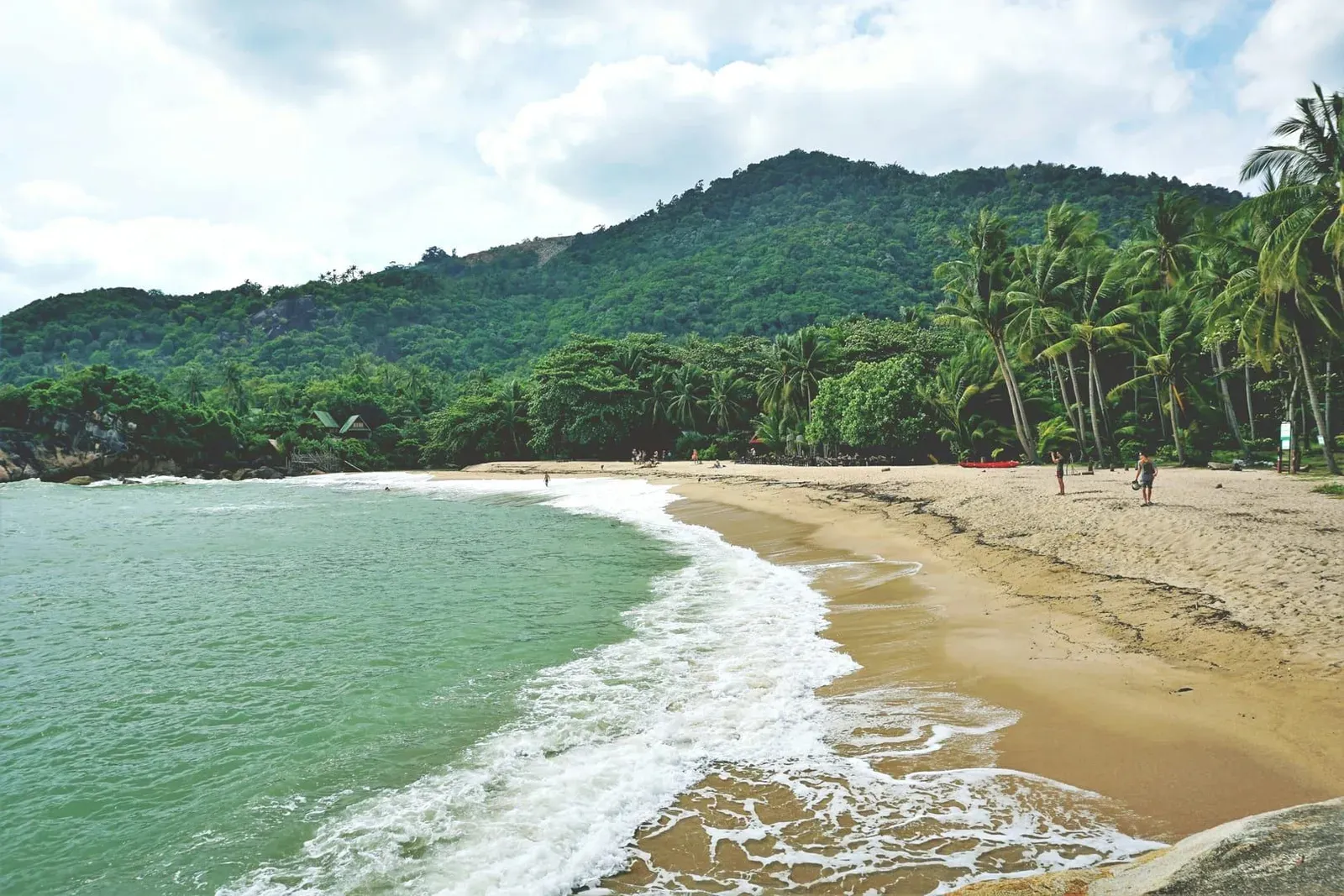
Koh Samui’s sea stays warm enough to swim in every month of the year — the coldest reading is still a comfortable 28.0°C. Using this site’s own weather data, sourced from climatestotravel.com’s 1991-2020 climate normals:
| Month | Sea temp | Month | Sea temp |
|---|---|---|---|
| January | 28.0°C | July | 29.5°C |
| February | 28.5°C | August | 29.5°C |
| March | 29.0°C | September | 29.0°C |
| April | 30.0°C | October | 29.0°C |
| May | 30.0°C | November | 29.0°C |
| June | 30.0°C | December | 28.5°C |
April through June run warmest at 30.0°C; January is coolest at 28.0°C — a 2-degree swing barely noticeable getting in. Sea temperature is never the reason to skip swimming here; wave state and jellyfish risk are what actually change your plans.
Water Clarity by Season
Water clarity tracks the dry-season/monsoon split more closely than temperature does. Multiple beach pages on this site — Chaweng, Choeng Mon and Bang Kao — independently describe December through February as the clearest, best-visibility window for snorkeling, when calm seas let sediment settle. Wikivoyage separately notes that Bophut Beach’s water “is often murky, especially around December,” a reminder that clarity varies beach to beach even within a calm-sea month.
Through the monsoon shoulder months (roughly September-November), expect cloudier water island-wide as wave action stirs sediment and rain brings runoff down from the hills.
Box Jellyfish Window
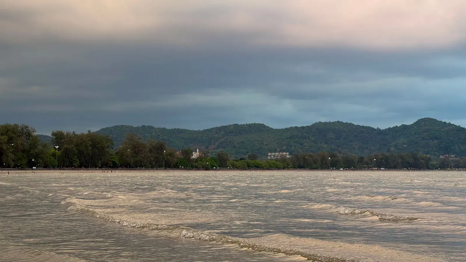
Box jellyfish risk is a separate factor from wave state and runs on its own calendar. This site’s dedicated jellyfish guide documents two overlapping windows: a peer-reviewed 2016 study puts the peak at June through October (highest in August-September), while some tourism-safety sources instead cite an October-December peak. Individual beach entries on this site — Bang Po, Maenam, W Beach and Choeng Mon — log “occasional” sightings roughly October-December. Because sources disagree on the exact peak, treat June through December as an elevated-risk window island-wide, confirmed highest-risk at Chaweng and Lamai, and check posted signs or a lifeguard post on the day. Full first-aid steps are in the jellyfish guide; sea urchins, sandflies and other beach hazards are covered in our beach critters guide.
What Do the Red Flags Mean?
Red flags posted on Koh Samui beaches mean do not enter the water, or enter only with extreme caution if a lifeguard is present. They go up most often at Chaweng and Lamai during the September-November monsoon swell, signaling rough surf, a stronger shore break, or higher jellyfish risk — not necessarily all three at once. Not every beach has lifeguards or flags; on unstaffed beaches, treat visible whitecaps, a pulling current, or brown, sediment-heavy water after rain as the practical equivalent. If in doubt, ask at a beachfront restaurant or resort.
FAQ
Can you swim in Koh Samui in November?
Yes, but expect the roughest seas of the year on the east coast. Chaweng and Lamai see red flags most often in November as the northeast monsoon peaks, while the north coast stays choppy but generally more swimmable. November is also the wettest month island-wide, with roughly 445 mm of rain, so build flexibility into any beach-day plans.
Which Koh Samui beach is calmest during monsoon season?
North-coast beaches — Maenam and Bophut — stay the calmest through the September-January monsoon stretch, sheltered from the direct swell that hits the east-facing coast. They’re the most reliable pick if your trip falls in this window and swimming matters more than beach-strip nightlife.
Is the sea rough at Chaweng Beach?
Chaweng is calm from roughly February through August and turns choppy to rough from September through November as the northeast monsoon builds, based on the beach’s own seasonal notes on this site. A protected stretch on Chaweng’s quieter southern third, sheltered by an offshore reef, stays swimmer-friendly even when the main strip gets rougher.
Do Koh Samui’s tides change with the season?
Yes. Summer tides run low during the day and high at night; winter tides stay high through the day, according to Wikivoyage. This flips how much sand is exposed at midday depending on when you visit, and it matters most at shallow, gently sloping beaches like Maenam and Bang Kao — check a current tide table for your dates rather than assuming.
When is the water clearest on Koh Samui?
December through February, based on independent notes across this site’s Chaweng, Choeng Mon and Bang Kao beach pages — calm seas let sediment settle and rain runoff drops off. Clarity varies by specific beach even within that window; Bophut, for example, is documented as often murky around December despite the general dry-season pattern.
Is Koh Samui safe to swim year-round?
Broadly yes — sea temperature never drops below about 28°C and most beaches are swimmable most of the year. The two seasonal risks worth planning around are rough surf on the east coast from September to November and an elevated box jellyfish window roughly June to December; see the full Koh Samui safety guide for other factors like currents and beach-specific hazards.
Published on
About the author

Mike Brochlowski
Travel photographer & writer
Travel photographer and island explorer. Mike has spent years documenting Southeast Asia's hidden gems, from secluded beaches to jungle waterfalls.
Articles by Mike →More in Travel Guides
Also in Best Time to Visit Koh Samui
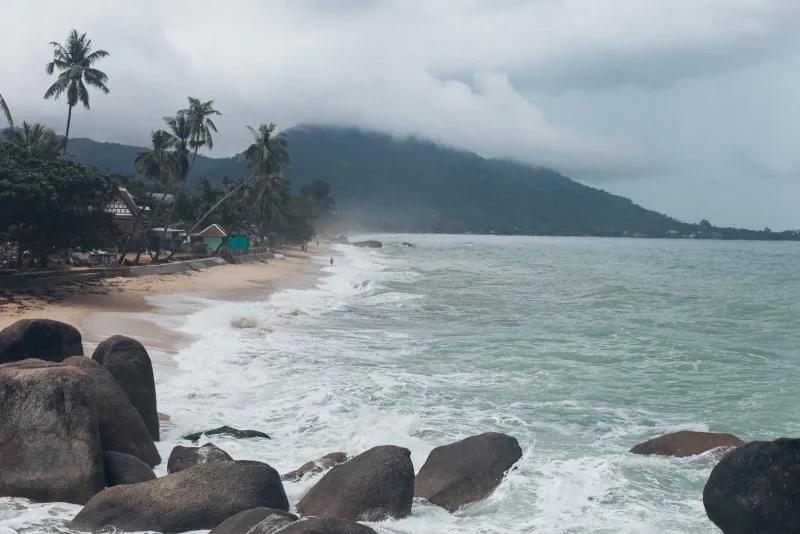
Koh Samui in January — Weather, Rain & Is It Worth It?
Koh Samui in January: 125 mm of rain over 8 days, 29.0°C highs, the coolest sea of the year at 28.0°C, and where prices fall once New Yea…
Also in Best Time to Visit Koh Samui
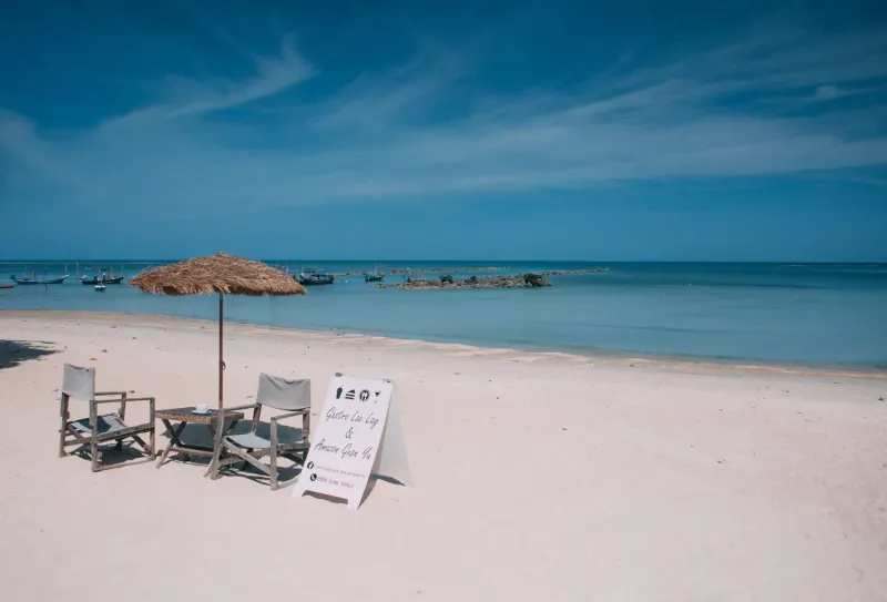
Koh Samui in July — Weather, Sea, Crowds & Is It Worth It?
Koh Samui in July: 32.3°C highs, 29.5°C sea, 115mm rain over 11 days, and peak European summer crowds.
Also in Best Time to Visit Koh Samui
Koh Samui in June — Weather, Sea, Crowds & Is It Worth It?
Koh Samui in June: 32.7°C highs, the year's warmest 30.0°C sea, 135mm rain over 10 days, and low-season prices while Phuket gets soaked.